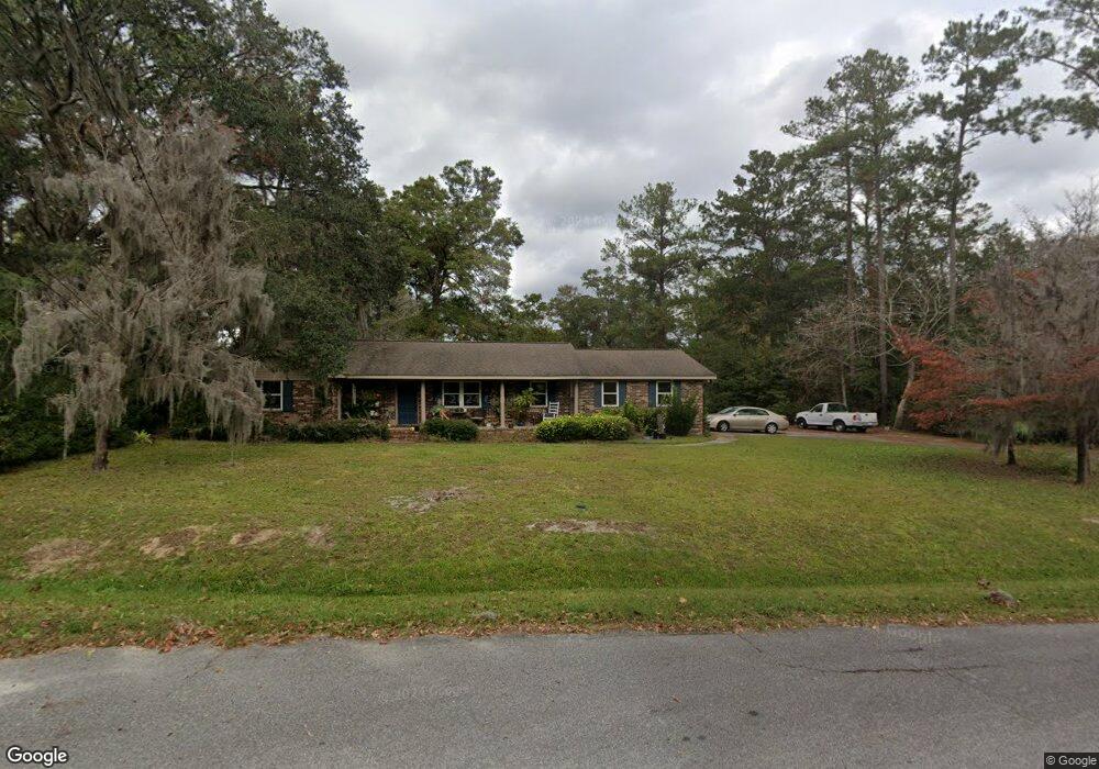
201 Phillips St Hinesville, GA 31313
Estimated Value: $191,000 - $238,000
2
Beds
2
Baths
1,693
Sq Ft
$131/Sq Ft
Est. Value
About This Home
This home is located at 201 Phillips St, Hinesville, GA 31313 and is currently estimated at $222,144, approximately $131 per square foot. 201 Phillips St is a home located in Liberty County with nearby schools including Joseph Martin Elementary School, Snelson-Golden Middle School, and Liberty County High School.
Ownership History
Date
Name
Owned For
Owner Type
Purchase Details
Closed on
Sep 19, 2008
Sold by
Floyd Carroll W
Bought by
Floyd David C
Current Estimated Value
Purchase Details
Closed on
Dec 13, 2007
Sold by
Floyd Carroll W
Bought by
Floyd David C
Purchase Details
Closed on
Jul 31, 1997
Sold by
Floyd Fannie P
Bought by
Floyd Carroll W
Purchase Details
Closed on
May 4, 1983
Bought by
Floyd Fannie P
Create a Home Valuation Report for This Property
The Home Valuation Report is an in-depth analysis detailing your home's value as well as a comparison with similar homes in the area
Home Values in the Area
Average Home Value in this Area
Purchase History
| Date | Buyer | Sale Price | Title Company |
|---|---|---|---|
| Floyd David C | -- | -- | |
| Floyd David C | $79,500 | -- | |
| Floyd Carroll W | -- | -- | |
| Floyd Fannie P | -- | -- |
Source: Public Records
Mortgage History
| Date | Status | Borrower | Loan Amount |
|---|---|---|---|
| Closed | Floyd David C | $0 |
Source: Public Records
Tax History Compared to Growth
Tax History
| Year | Tax Paid | Tax Assessment Tax Assessment Total Assessment is a certain percentage of the fair market value that is determined by local assessors to be the total taxable value of land and additions on the property. | Land | Improvement |
|---|---|---|---|---|
| 2024 | $2,852 | $62,812 | $10,800 | $52,012 |
| 2023 | $2,852 | $63,397 | $10,800 | $52,597 |
| 2022 | $2,335 | $53,968 | $10,800 | $43,168 |
| 2021 | $2,193 | $50,030 | $10,800 | $39,230 |
| 2020 | $2,241 | $50,615 | $10,800 | $39,815 |
| 2019 | $2,252 | $51,200 | $10,800 | $40,400 |
| 2018 | $2,268 | $51,786 | $10,800 | $40,986 |
| 2017 | $1,725 | $52,372 | $10,800 | $41,572 |
| 2016 | $2,084 | $49,957 | $7,800 | $42,157 |
| 2015 | $2,148 | $49,957 | $7,800 | $42,157 |
| 2014 | $2,148 | $52,252 | $7,800 | $44,452 |
| 2013 | -- | $48,310 | $7,800 | $40,510 |
Source: Public Records
Map
Nearby Homes
- 301 Lakeview Dr
- 812 Spanish Oak Dr
- 822 Lakeview Ct
- 830 Bradwell St
- 604 Caroline St
- 108 W General Stewart Way
- 804 Barrington Dr
- 0 General Stewart Way
- 103 Stewart Terrace
- 205 Wilson Ave
- 0 E General Stewart Way
- 411 Woodland Dr
- 910 Kings Rd
- 24 Sherwood Dr
- 215 Collins Ln
- 215 Collins Ln Unit A
- 4 Lots Memorial Dr
- 322 W Memorial West Dr
- 173 Ironwood Dr
- 1.76 AC Tranquill Way
- 720 Truman St
- 203 Phillips St
- 719 Johnson St
- 200 Lakeview Dr
- 112 Lakeview Dr
- 720 Johnson St
- 718 Truman St
- 717 Johnson St
- 726 N Main St
- 717 Truman St
- 714 N Main St
- 722 N Main St
- 0 Johnson St Unit 7538262
- 822 Lakeview Dr
- 719 Bradwell St
- 712 N Main St
- 801 Lakeview Ct
- 802 Spanish Oak Dr
- 718 Johnson St
- 710 N Main St