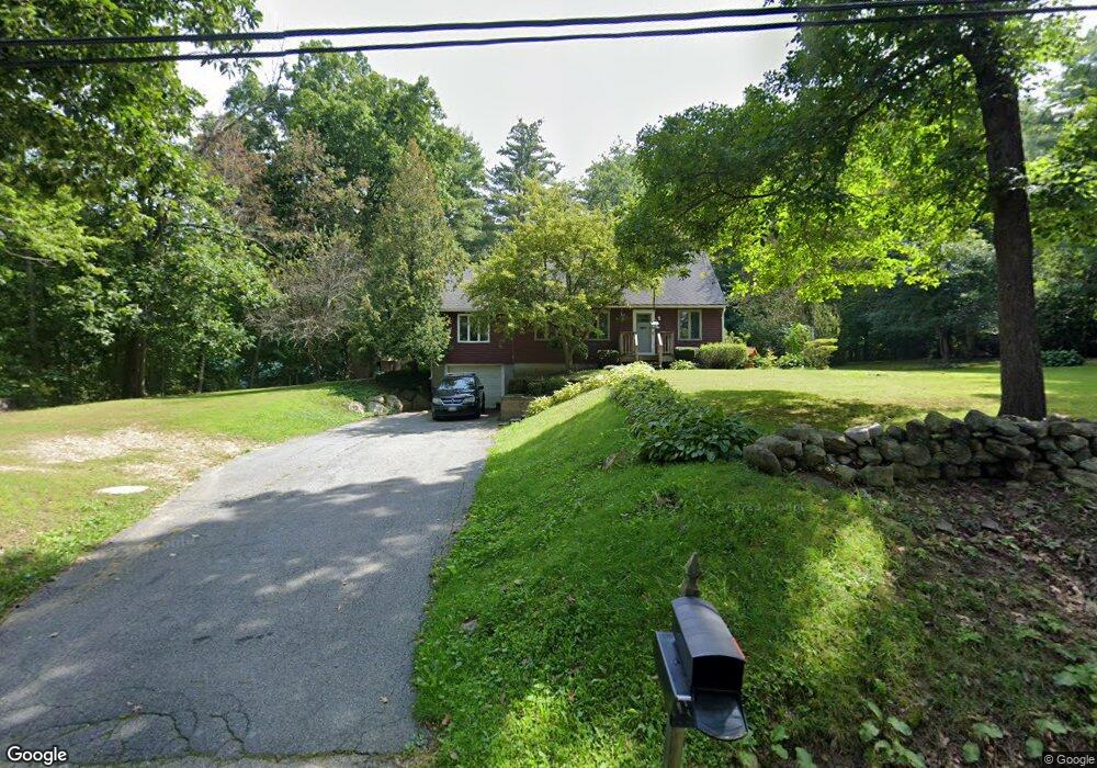
201 Podunk Rd East Brookfield, MA 01515
Estimated Value: $364,000 - $477,000
3
Beds
2
Baths
1,624
Sq Ft
$251/Sq Ft
Est. Value
About This Home
This home is located at 201 Podunk Rd, East Brookfield, MA 01515 and is currently estimated at $407,295, approximately $250 per square foot. 201 Podunk Rd is a home located in Worcester County with nearby schools including David Prouty High School.
Ownership History
Date
Name
Owned For
Owner Type
Purchase Details
Closed on
Nov 26, 2003
Sold by
Powers James E
Bought by
Powers Brenda M and Powers James E
Current Estimated Value
Home Financials for this Owner
Home Financials are based on the most recent Mortgage that was taken out on this home.
Original Mortgage
$143,000
Outstanding Balance
$67,234
Interest Rate
6.09%
Mortgage Type
Purchase Money Mortgage
Estimated Equity
$340,061
Purchase Details
Closed on
Mar 28, 1994
Sold by
Llb Inc
Bought by
Powers James E
Home Financials for this Owner
Home Financials are based on the most recent Mortgage that was taken out on this home.
Original Mortgage
$121,350
Interest Rate
7.15%
Mortgage Type
Purchase Money Mortgage
Create a Home Valuation Report for This Property
The Home Valuation Report is an in-depth analysis detailing your home's value as well as a comparison with similar homes in the area
Home Values in the Area
Average Home Value in this Area
Purchase History
| Date | Buyer | Sale Price | Title Company |
|---|---|---|---|
| Powers Brenda M | $119,000 | -- | |
| Powers James E | $119,000 | -- |
Source: Public Records
Mortgage History
| Date | Status | Borrower | Loan Amount |
|---|---|---|---|
| Open | Powers James E | $11,517 | |
| Closed | Powers James E | $14,935 | |
| Open | Powers Brenda M | $143,000 | |
| Previous Owner | Powers James E | $121,350 |
Source: Public Records
Tax History
| Year | Tax Paid | Tax Assessment Tax Assessment Total Assessment is a certain percentage of the fair market value that is determined by local assessors to be the total taxable value of land and additions on the property. | Land | Improvement |
|---|---|---|---|---|
| 2025 | $4,138 | $322,300 | $72,700 | $249,600 |
| 2024 | $3,934 | $308,100 | $66,200 | $241,900 |
| 2023 | $3,853 | $293,900 | $60,100 | $233,800 |
| 2022 | $3,767 | $278,400 | $51,800 | $226,600 |
| 2021 | $3,586 | $241,800 | $51,800 | $190,000 |
| 2020 | $3,377 | $227,900 | $51,800 | $176,100 |
| 2019 | $3,467 | $210,500 | $51,800 | $158,700 |
| 2018 | $3,262 | $211,000 | $51,800 | $159,200 |
| 2017 | $3,178 | $195,200 | $47,900 | $147,300 |
| 2016 | $3,178 | $182,000 | $47,900 | $134,100 |
| 2015 | $3,160 | $182,000 | $47,900 | $134,100 |
| 2014 | $3,170 | $182,000 | $47,900 | $134,100 |
Source: Public Records
Map
Nearby Homes
- 195 Podunk Rd
- 207 Podunk Rd
- 202 Podunk Rd
- 200 Podunk Rd
- 194 Podunk Rd
- 219 Podunk Rd
- 227 Podunk Rd
- 231 Podunk Rd
- 233 Podunk Rd
- 161 Podunk Rd
- 180 Podunk Rd
- Lot 8 Podunk Rd
- 157 Podunk Rd
- 154 Podunk Rd
- 0 Podunk Rd L: Subdivision Unit 70583577
- 245 Podunk Rd
- 143 Podunk Rd
- 144 Podunk Rd
- 255 Podunk Rd
- 135 Podunk Rd
Your Personal Tour Guide
Ask me questions while you tour the home.