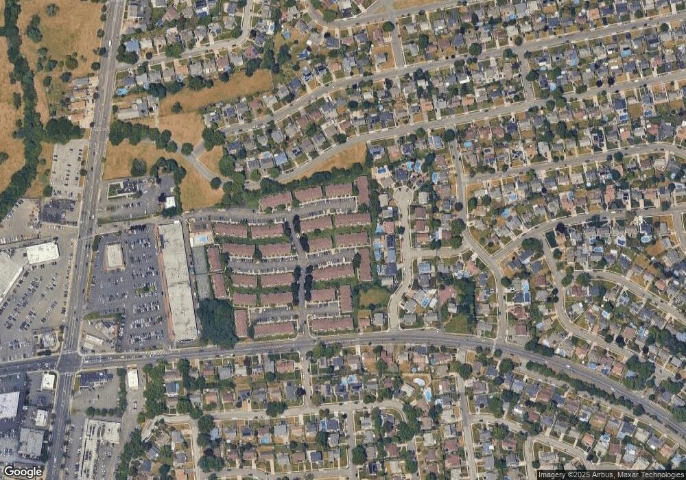
201 Poplar Ct Wantagh, NY 11793
Estimated Value: $595,000 - $622,992
--
Bed
2
Baths
1,326
Sq Ft
$459/Sq Ft
Est. Value
About This Home
This home is located at 201 Poplar Ct, Wantagh, NY 11793 and is currently estimated at $608,664, approximately $459 per square foot. 201 Poplar Ct is a home located in Nassau County with nearby schools including East Broadway School, Jonas E. Salk Middle School, and Gen. Douglas MacArthur Senior High School.
Ownership History
Date
Name
Owned For
Owner Type
Purchase Details
Closed on
Oct 27, 2022
Sold by
Denis Christine M and Theresa M Gill 2017 Irrevocable Trust
Bought by
Oreckinto Thomas and Oreckinto Frances
Current Estimated Value
Purchase Details
Closed on
Oct 14, 2022
Sold by
Gill Robert W and Gill Robert T
Bought by
Denis Christina M and The Theresa Gill 2017 Irrevocable Trust
Purchase Details
Closed on
Aug 15, 2017
Sold by
Gill Theresa
Bought by
Irrevocabl Denis Christina M and Irrevocabl Theresa M Gill 2017
Purchase Details
Closed on
Nov 20, 2007
Sold by
Gill Theresa
Purchase Details
Closed on
Jan 22, 1999
Sold by
Kubilis
Bought by
Gill Theresa
Create a Home Valuation Report for This Property
The Home Valuation Report is an in-depth analysis detailing your home's value as well as a comparison with similar homes in the area
Home Values in the Area
Average Home Value in this Area
Purchase History
| Date | Buyer | Sale Price | Title Company |
|---|---|---|---|
| Oreckinto Thomas | $480,000 | Cjs Land Services Inc | |
| Denis Christina M | -- | Cjs Land Services Inc | |
| Irrevocabl Denis Christina M | -- | None Available | |
| -- | -- | -- | |
| Gill Theresa | $190,000 | -- | |
| Gill Theresa | $190,000 | Chicago Title Insurance Co |
Source: Public Records
Tax History Compared to Growth
Tax History
| Year | Tax Paid | Tax Assessment Tax Assessment Total Assessment is a certain percentage of the fair market value that is determined by local assessors to be the total taxable value of land and additions on the property. | Land | Improvement |
|---|---|---|---|---|
| 2024 | $3,498 | $406 | $0 | $406 |
| 2023 | $3,012 | $417 | $0 | $417 |
| 2022 | $3,012 | $417 | $0 | $417 |
| 2021 | $2,451 | $397 | $0 | $397 |
| 2020 | $2,458 | $543 | $0 | $543 |
| 2019 | $2,054 | $543 | $0 | $543 |
| 2018 | $2,054 | $566 | $0 | $0 |
| 2017 | $638 | $601 | $0 | $601 |
| 2016 | $2,717 | $652 | $0 | $652 |
| 2015 | $2,872 | $807 | $0 | $807 |
| 2014 | $2,872 | $807 | $0 | $807 |
| 2013 | $2,362 | $807 | $0 | $807 |
Source: Public Records
Map
Nearby Homes
- 22 Twin Ln N
- 11 Tardy Ln N
- 3562 Southview Ave
- 361 Twin Ln S
- 3556 Centerview Ave
- 1100 Wantagh Ave
- 3592 Southview Ave
- 3633 Summer Dr
- 3435 Homestead Ave
- 55 Duckpond Dr N
- 3405 Lufberry Ave
- 3694 Maxwell Dr
- 3737 Maxwell Dr
- 19 Wayside Ln
- 3678 Bernard Dr
- 3418 Silverton Ave
- 1420 Poulson St
- 3773 Arthur Ave W
- 3771 Jerusalem Ave
- 1480 Adam Place
