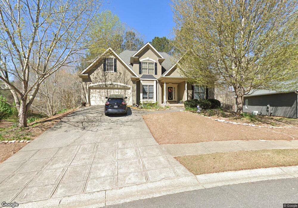
201 Powers Ct Woodstock, GA 30189
Sutallee NeighborhoodEstimated Value: $439,950 - $467,000
5
Beds
3
Baths
2,029
Sq Ft
$223/Sq Ft
Est. Value
About This Home
This home is located at 201 Powers Ct, Woodstock, GA 30189 and is currently estimated at $453,475, approximately $223 per square foot. 201 Powers Ct is a home located in Cherokee County with nearby schools including Boston Elementary School, E. T. Booth Middle School, and Etowah High School.
Ownership History
Date
Name
Owned For
Owner Type
Purchase Details
Closed on
Mar 15, 2004
Sold by
Foster Darryl L and Foster Caudia M
Bought by
Pope Robert G and Pope Carol
Current Estimated Value
Purchase Details
Closed on
Oct 25, 1999
Sold by
Chuck Christopher M and Chuck Tracy T
Bought by
Foster Darryll L and Foster Claudia M
Home Financials for this Owner
Home Financials are based on the most recent Mortgage that was taken out on this home.
Original Mortgage
$160,200
Interest Rate
7.76%
Mortgage Type
New Conventional
Purchase Details
Closed on
Nov 26, 1996
Sold by
Roach Douglas
Bought by
Chuck Christopher Tracy
Create a Home Valuation Report for This Property
The Home Valuation Report is an in-depth analysis detailing your home's value as well as a comparison with similar homes in the area
Home Values in the Area
Average Home Value in this Area
Purchase History
| Date | Buyer | Sale Price | Title Company |
|---|---|---|---|
| Pope Robert G | $203,500 | -- | |
| Foster Darryll L | $178,000 | -- | |
| Chuck Christopher Tracy | $163,900 | -- |
Source: Public Records
Mortgage History
| Date | Status | Borrower | Loan Amount |
|---|---|---|---|
| Previous Owner | Foster Darryll L | $160,200 | |
| Closed | Chuck Christopher Tracy | $0 |
Source: Public Records
Tax History Compared to Growth
Tax History
| Year | Tax Paid | Tax Assessment Tax Assessment Total Assessment is a certain percentage of the fair market value that is determined by local assessors to be the total taxable value of land and additions on the property. | Land | Improvement |
|---|---|---|---|---|
| 2025 | $1,222 | $159,400 | $34,000 | $125,400 |
| 2024 | $1,182 | $158,448 | $31,200 | $127,248 |
| 2023 | $687 | $144,936 | $32,000 | $112,936 |
| 2022 | $828 | $133,704 | $32,000 | $101,704 |
| 2021 | $795 | $106,472 | $25,320 | $81,152 |
| 2020 | $788 | $103,680 | $22,400 | $81,280 |
| 2019 | $760 | $96,200 | $20,000 | $76,200 |
| 2018 | $756 | $91,600 | $18,000 | $73,600 |
| 2017 | $707 | $196,000 | $14,000 | $64,400 |
| 2016 | $735 | $197,500 | $14,000 | $65,000 |
| 2015 | $702 | $184,400 | $14,000 | $59,760 |
| 2014 | $617 | $162,900 | $14,000 | $51,160 |
Source: Public Records
Map
Nearby Homes
- 1001 Ashfern Walk
- 406 Ballymore Pass Unit III
- 128 Golden Hills Dr
- 416 Ballymore Pass
- 234 Ascott Ln
- 1516 Shadow Ridge Cir
- 135 Golden Hills Dr
- 712 Copper Trace Way
- 215 Carmichael Rd
- 727 Copper Trace Way
- 0 Black Oak Trail Unit 7303191
- 0 Black Oak Trail Unit 10267626
- 4005 Watkins Glen Dr
- 235 Rose Cottage Dr Unit 28
- 104 Southfork Dr
- 104 Rose Cottage Ln Unit 65
- 2006 Hawthorne Way
- 1020 Braelin Ct
- 233 Shoals Bridge Rd
- 1001 Deer Hollow Dr
- 1014 Ashfern Walk
- 1010 Ashfern Walk
- 1009 Ashfern Walk
- 205 Powers Ct
- 1016 Ashfern Walk
- 305 Lismore Terrace
- 307 Lismore Terrace Unit 1
- Lot 2 Collett Dr
- 0 Bells Ferry Rd Unit 3013981
- 0 Bells Ferry Rd Unit 7041543
- 0 Bells Ferry Rd Unit 7209129
- 197 Pine Cir
- 205 Cherokee Springs Way
- 114 Sable Valley Dr
- 104 Sable Valley Drive Rd
- 000 Bells Ferry Rd
- 120 Sable Valley Rd
- 7773 Bells Ferry Rd
- 000 Towne Lake
- 104 Lucas Dr