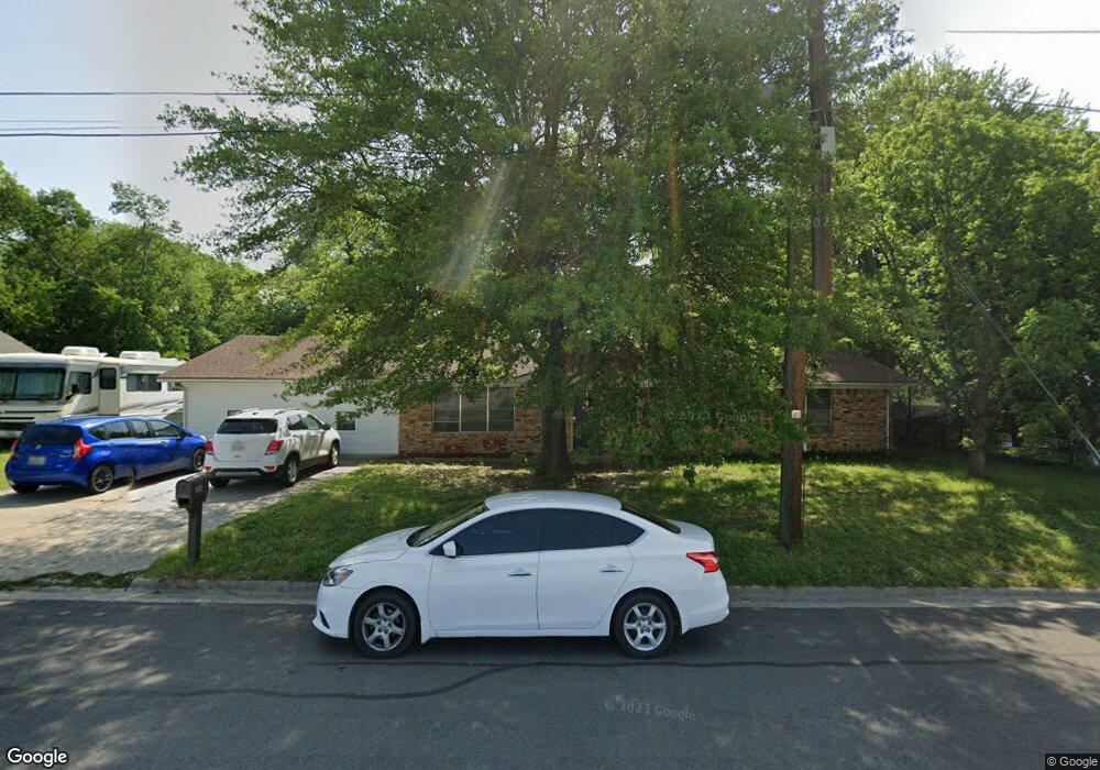
201 Ram Ave Sadler, TX 76264
Estimated Value: $243,807 - $284,000
--
Bed
--
Bath
1,691
Sq Ft
$156/Sq Ft
Est. Value
About This Home
This home is located at 201 Ram Ave, Sadler, TX 76264 and is currently estimated at $263,904, approximately $156 per square foot. 201 Ram Ave is a home located in Grayson County with nearby schools including S&S Consolidated Elementary School, S&S Consolidated Middle School, and S. & S. Cons H.S..
Ownership History
Date
Name
Owned For
Owner Type
Purchase Details
Closed on
Oct 5, 2018
Sold by
Williams Brenda
Bought by
Estrada Destiny and Estrada Osman
Current Estimated Value
Purchase Details
Closed on
May 26, 2006
Sold by
Henricksen Jennifer Lynn
Bought by
Williams Brenda
Home Financials for this Owner
Home Financials are based on the most recent Mortgage that was taken out on this home.
Original Mortgage
$14,008
Interest Rate
6.56%
Mortgage Type
Fannie Mae Freddie Mac
Create a Home Valuation Report for This Property
The Home Valuation Report is an in-depth analysis detailing your home's value as well as a comparison with similar homes in the area
Home Values in the Area
Average Home Value in this Area
Purchase History
| Date | Buyer | Sale Price | Title Company |
|---|---|---|---|
| Estrada Destiny | -- | Grayson County Title | |
| Williams Brenda | -- | Red River Title Co |
Source: Public Records
Mortgage History
| Date | Status | Borrower | Loan Amount |
|---|---|---|---|
| Previous Owner | Williams Brenda | $14,008 | |
| Previous Owner | Williams Brenda | $56,032 |
Source: Public Records
Tax History Compared to Growth
Tax History
| Year | Tax Paid | Tax Assessment Tax Assessment Total Assessment is a certain percentage of the fair market value that is determined by local assessors to be the total taxable value of land and additions on the property. | Land | Improvement |
|---|---|---|---|---|
| 2025 | $1,376 | $220,498 | $40,232 | $180,266 |
| 2024 | $3,265 | $219,265 | $33,464 | $185,801 |
| 2023 | $1,378 | $208,171 | $0 | $0 |
| 2022 | $3,175 | $189,246 | $0 | $0 |
| 2021 | $3,180 | $167,644 | $21,150 | $146,494 |
| 2020 | $3,383 | $172,901 | $13,160 | $159,741 |
| 2019 | $3,938 | $185,641 | $13,160 | $172,481 |
| 2018 | $2,397 | $127,558 | $3,337 | $124,221 |
| 2017 | $2,194 | $112,214 | $3,337 | $108,877 |
| 2016 | $2,015 | $110,126 | $3,337 | $106,789 |
| 2015 | $1,431 | $93,713 | $3,337 | $90,376 |
| 2014 | $1,485 | $89,638 | $3,337 | $86,301 |
Source: Public Records
Map
Nearby Homes
- 00 Farm To Market Road 901
- Lot 3 Rodgers Rd
- Lot 4 Rodgers Rd
- Lot 5 Rodgers Rd
- 4231 Spalding Rd
- 28400 W Us Highway 82 B
- 28400 U S Highway 82
- 0000 Farm To Market Road 901
- 144 Raccoon Dr
- 31092 Us Highway 82
- 192 Brooks Ln
- 452 Spalding Rd
- TBD Crow Rd
- 000 Us Hwy 82
- 299 Sadler Rd
- 1381 Hackleman Rd
- 790 Ferguson Rd
- 2242 Dixie Rd
- 27019 State Highway 56
- 27403 State Highway 56