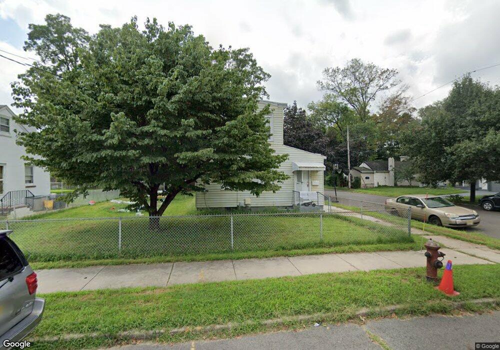
201 Randall Ave Hamilton, NJ 08610
Franklin Park NeighborhoodEstimated Value: $279,000 - $324,000
--
Bed
--
Bath
1,248
Sq Ft
$243/Sq Ft
Est. Value
About This Home
This home is located at 201 Randall Ave, Hamilton, NJ 08610 and is currently estimated at $302,975, approximately $242 per square foot. 201 Randall Ave is a home located in Mercer County with nearby schools including Lalor Elementary School, Albert E. Grice Middle School, and Hamilton West-Watson High School.
Ownership History
Date
Name
Owned For
Owner Type
Purchase Details
Closed on
Jun 4, 2021
Sold by
Winnick Properties Llc
Bought by
Molina Elliott C
Current Estimated Value
Home Financials for this Owner
Home Financials are based on the most recent Mortgage that was taken out on this home.
Original Mortgage
$184,203
Outstanding Balance
$166,773
Interest Rate
2.9%
Mortgage Type
New Conventional
Estimated Equity
$136,202
Purchase Details
Closed on
Dec 4, 2020
Sold by
Cech Cynthia A
Bought by
Winnick Properties Llc
Home Financials for this Owner
Home Financials are based on the most recent Mortgage that was taken out on this home.
Original Mortgage
$0
Interest Rate
2.7%
Mortgage Type
Credit Line Revolving
Create a Home Valuation Report for This Property
The Home Valuation Report is an in-depth analysis detailing your home's value as well as a comparison with similar homes in the area
Home Values in the Area
Average Home Value in this Area
Purchase History
| Date | Buyer | Sale Price | Title Company |
|---|---|---|---|
| Molina Elliott C | $189,900 | Core Title | |
| Winnick Properties Llc | $80,000 | Core Title | |
| Winnick Properties Llc | $80,000 | Core Title |
Source: Public Records
Mortgage History
| Date | Status | Borrower | Loan Amount |
|---|---|---|---|
| Open | Molina Elliott C | $184,203 | |
| Previous Owner | Winnick Properties Llc | $0 |
Source: Public Records
Tax History Compared to Growth
Tax History
| Year | Tax Paid | Tax Assessment Tax Assessment Total Assessment is a certain percentage of the fair market value that is determined by local assessors to be the total taxable value of land and additions on the property. | Land | Improvement |
|---|---|---|---|---|
| 2025 | $5,156 | $146,300 | $32,500 | $113,800 |
| 2024 | $4,832 | $146,300 | $32,500 | $113,800 |
| 2023 | $4,832 | $146,300 | $32,500 | $113,800 |
| 2022 | $4,756 | $146,300 | $32,500 | $113,800 |
| 2021 | $5,886 | $133,200 | $32,500 | $100,700 |
| 2020 | $4,879 | $133,200 | $32,500 | $100,700 |
| 2019 | $4,735 | $133,200 | $32,500 | $100,700 |
| 2018 | $4,673 | $133,200 | $32,500 | $100,700 |
| 2017 | $4,465 | $133,200 | $32,500 | $100,700 |
| 2016 | $3,534 | $130,700 | $30,000 | $100,700 |
| 2015 | $4,230 | $81,200 | $27,700 | $53,500 |
| 2014 | $4,174 | $81,200 | $27,700 | $53,500 |
Source: Public Records
Map
Nearby Homes
- 604 Schiller Ave
- 27 Westcott Ave
- 1961 S Broad St
- 316 W Park Ave
- 218 Sewell Ave
- 1857 S Broad St
- 34 Sewell Ave
- 525 Lafayette Ave
- 2325 S Broad St
- 1816 Chambers St
- 12 Bow Hill Ave
- 27 Annabelle Ave
- 314 Joseph St
- 238 Grand Ave
- 2025 S Clinton Ave
- 229 Parkinson Ave
- 429 Wilfred Ave
- 69 Reed Ave
- 323 Wilfred Ave
- 40 Reed Ave
- 211 Randall Ave
- 215 Randall Ave
- 100 Overlook Ave
- 217 Randall Ave
- 102 Overlook Ave
- 104 Overlook Ave
- 106 Overlook Ave
- 108 Overlook Ave
- 219 Randall Ave
- 110 Overlook Ave
- 415 Buchanan Ave
- 112 Overlook Ave
- 385 Buchanan Ave
- 114 Overlook Ave
- 204 Randall Ave
- 116 Overlook Ave
- 206 Randall Ave
- 118 Overlook Ave
- 223 Randall Ave
- 357 Buchanan Ave