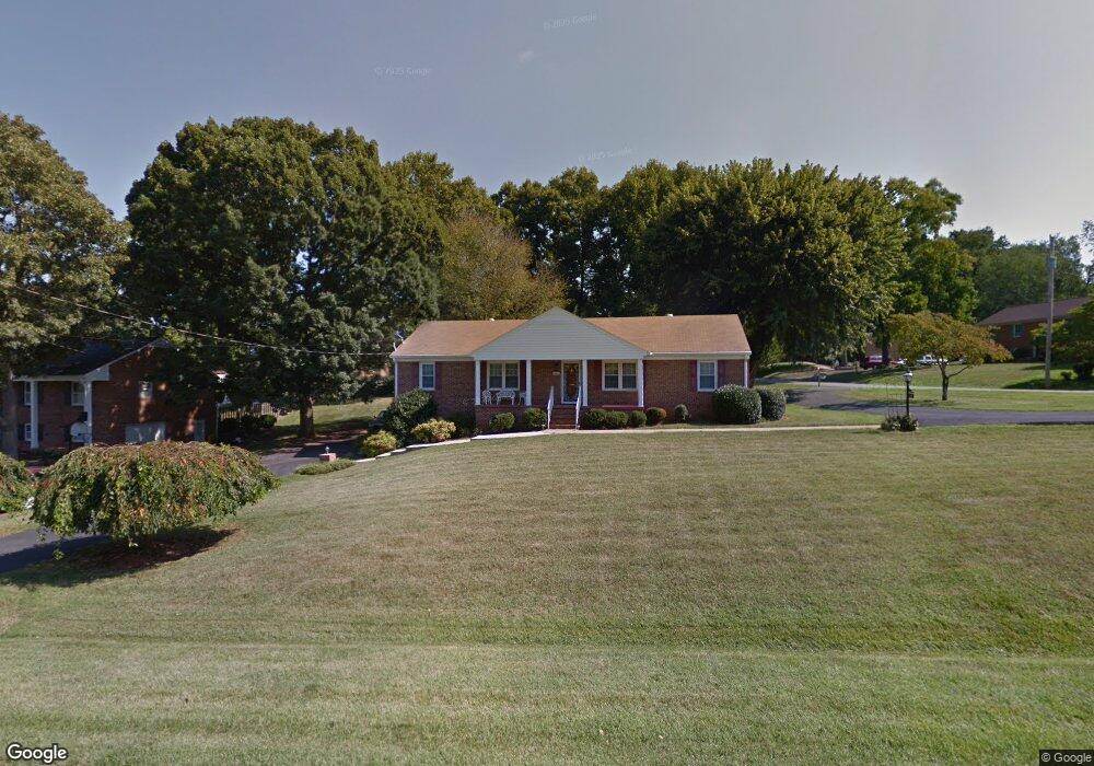
201 Robin Dr Lynchburg, VA 24502
Kenwood Hills NeighborhoodEstimated Value: $198,000 - $286,000
3
Beds
2
Baths
1,545
Sq Ft
$167/Sq Ft
Est. Value
About This Home
This home is located at 201 Robin Dr, Lynchburg, VA 24502 and is currently estimated at $257,414, approximately $166 per square foot. 201 Robin Dr is a home located in Lynchburg City with nearby schools including Sandusky Elementary School, Sandusky Middle School, and Heritage High School.
Ownership History
Date
Name
Owned For
Owner Type
Purchase Details
Closed on
Jan 15, 2025
Sold by
Hassenpflug Harold Leon and Hassenpflug Amy Scott
Bought by
Haas Daniel M and Haas Madeline H
Current Estimated Value
Home Financials for this Owner
Home Financials are based on the most recent Mortgage that was taken out on this home.
Original Mortgage
$154,720
Outstanding Balance
$153,601
Interest Rate
6.6%
Mortgage Type
Seller Take Back
Estimated Equity
$103,813
Purchase Details
Closed on
Jul 27, 2022
Sold by
Webb William R
Bought by
Hassenpflug Harold Leon and Hassenpflug Amy Scott
Home Financials for this Owner
Home Financials are based on the most recent Mortgage that was taken out on this home.
Original Mortgage
$154,720
Interest Rate
5.81%
Mortgage Type
New Conventional
Create a Home Valuation Report for This Property
The Home Valuation Report is an in-depth analysis detailing your home's value as well as a comparison with similar homes in the area
Home Values in the Area
Average Home Value in this Area
Purchase History
| Date | Buyer | Sale Price | Title Company |
|---|---|---|---|
| Haas Daniel M | $193,400 | Absolute Title | |
| Hassenpflug Harold Leon | $193,400 | New Title Company Name |
Source: Public Records
Mortgage History
| Date | Status | Borrower | Loan Amount |
|---|---|---|---|
| Open | Haas Daniel M | $154,720 | |
| Previous Owner | Hassenpflug Harold Leon | $154,720 |
Source: Public Records
Tax History Compared to Growth
Tax History
| Year | Tax Paid | Tax Assessment Tax Assessment Total Assessment is a certain percentage of the fair market value that is determined by local assessors to be the total taxable value of land and additions on the property. | Land | Improvement |
|---|---|---|---|---|
| 2025 | $2,544 | $302,800 | $45,000 | $257,800 |
| 2024 | $2,248 | $252,600 | $45,000 | $207,600 |
| 2023 | $562 | $252,600 | $45,000 | $207,600 |
| 2022 | $1,992 | $193,400 | $35,000 | $158,400 |
| 2021 | $2,147 | $193,400 | $35,000 | $158,400 |
| 2020 | $1,997 | $179,900 | $30,000 | $149,900 |
| 2019 | $1,997 | $179,900 | $30,000 | $149,900 |
| 2018 | $1,920 | $173,000 | $27,000 | $146,000 |
| 2017 | $1,920 | $173,000 | $27,000 | $146,000 |
| 2016 | $1,920 | $173,000 | $27,000 | $146,000 |
| 2015 | $1,920 | $173,000 | $27,000 | $146,000 |
| 2014 | $1,920 | $187,300 | $27,000 | $160,300 |
Source: Public Records
Map
Nearby Homes
- 300 Robin Dr
- 324 Beverly Hills Cir
- 102 Springvale Dr
- 33 Levi Ln
- 31-A Levi Ln
- 50 Levi Ln
- 36-A Levi Ln
- 37 Levi Ln
- 35-Lot Levi Ln
- 128 Salisbury Cir
- 162 Salisbury Cir
- 324 Smoketree Ln
- 408 Robin Dr
- 226 Salisbury Cir
- 725 Wyndhurst Dr
- 639 Wyndhurst Dr
- 219 Duncraig Dr
- 3000 Roundelay Rd
- 123 Seven Oaks Dr
- 121 Seven Oaks Dr