201 Rodney Ave Woodbury, NJ 08096
Deptford Township NeighborhoodEstimated Value: $446,053 - $597,000
--
Bed
--
Bath
2,384
Sq Ft
$223/Sq Ft
Est. Value
About This Home
This home is located at 201 Rodney Ave, Woodbury, NJ 08096 and is currently estimated at $531,013, approximately $222 per square foot. 201 Rodney Ave is a home with nearby schools including Deptford Township High School and St Margaret Regional School.
Ownership History
Date
Name
Owned For
Owner Type
Purchase Details
Closed on
Jul 25, 2012
Sold by
Nvr Inc
Bought by
Broadhurst Sean and Broadhurst Susanne
Current Estimated Value
Home Financials for this Owner
Home Financials are based on the most recent Mortgage that was taken out on this home.
Original Mortgage
$294,600
Outstanding Balance
$203,647
Interest Rate
3.7%
Mortgage Type
New Conventional
Estimated Equity
$327,366
Purchase Details
Closed on
Apr 19, 2012
Sold by
Fernmoor Homes At Deptford Ii Llc
Bought by
Nvr Inc
Create a Home Valuation Report for This Property
The Home Valuation Report is an in-depth analysis detailing your home's value as well as a comparison with similar homes in the area
Home Values in the Area
Average Home Value in this Area
Purchase History
| Date | Buyer | Sale Price | Title Company |
|---|---|---|---|
| Broadhurst Sean | $310,130 | Legacy Title Agency Llc | |
| Nvr Inc | $111,500 | Title America Agency Corp |
Source: Public Records
Mortgage History
| Date | Status | Borrower | Loan Amount |
|---|---|---|---|
| Open | Broadhurst Sean | $294,600 |
Source: Public Records
Tax History Compared to Growth
Tax History
| Year | Tax Paid | Tax Assessment Tax Assessment Total Assessment is a certain percentage of the fair market value that is determined by local assessors to be the total taxable value of land and additions on the property. | Land | Improvement |
|---|---|---|---|---|
| 2025 | $10,644 | $296,900 | $51,600 | $245,300 |
| 2024 | $10,302 | $296,900 | $51,600 | $245,300 |
| 2023 | $10,302 | $296,900 | $51,600 | $245,300 |
| 2022 | $10,228 | $296,900 | $51,600 | $245,300 |
| 2021 | $10,083 | $296,900 | $51,600 | $245,300 |
| 2020 | $9,967 | $296,900 | $51,600 | $245,300 |
| 2019 | $9,777 | $296,900 | $51,600 | $245,300 |
| 2018 | $9,557 | $296,900 | $51,600 | $245,300 |
| 2017 | $9,302 | $296,900 | $51,600 | $245,300 |
| 2016 | $9,112 | $296,900 | $51,600 | $245,300 |
| 2015 | $8,830 | $296,900 | $51,600 | $245,300 |
| 2014 | $8,601 | $296,900 | $51,600 | $245,300 |
Source: Public Records
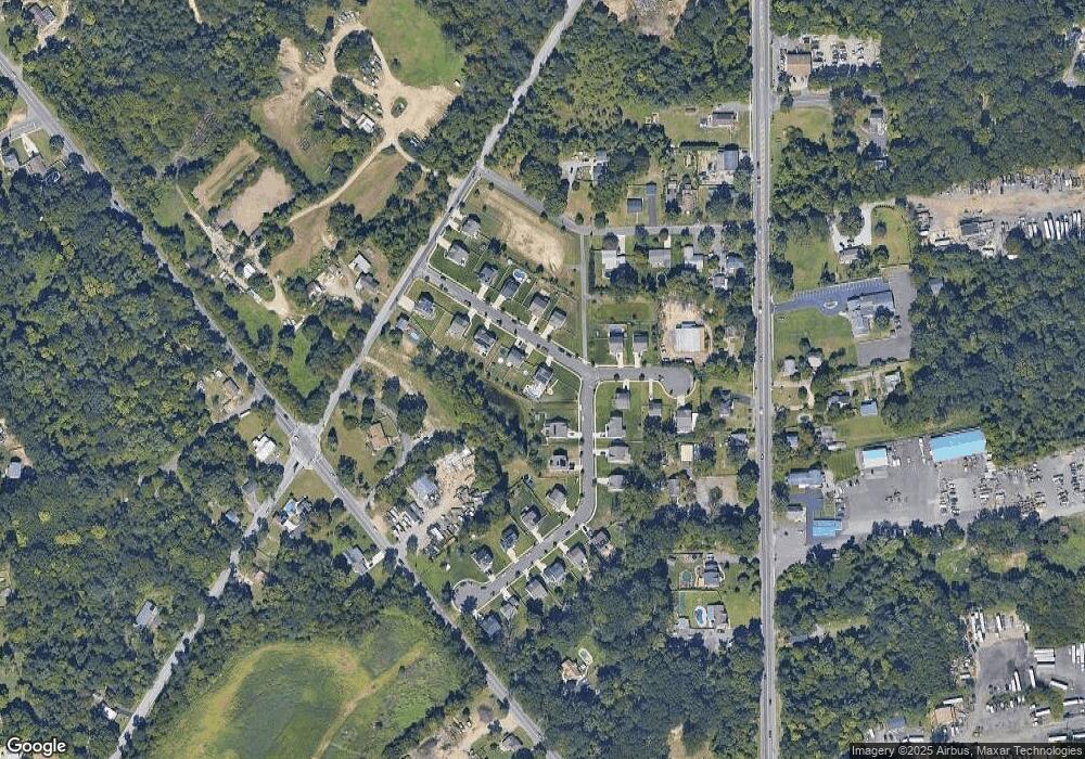
Map
Nearby Homes
- 805 Cattell Rd
- 859 Cattell Rd
- 41 Fleming Ave
- 1845 Delsea Dr
- 10 Carter Dr
- 853 Mail Ave
- 106 Shelly Ln
- 183 Lincoln Rd
- 106 Bock Ave
- 134 Carver Dr
- 1573 Delsea Dr
- 133 Hampshire Dr
- 230 Hampshire Dr
- 760 Woodland Ave
- 735 Chestnut Ave
- 1159 Glassboro Rd
- 1554 Good Intent Rd
- 616 Fairview Ave
- 14 Laurel Ct
- 617 Stratford Ave