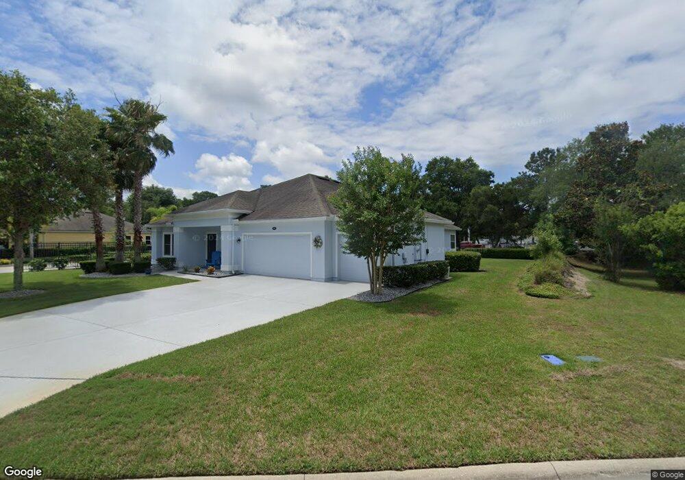
201 Rosella Ct Saint Augustine, FL 32086
Kings NeighborhoodEstimated Value: $468,888 - $564,000
4
Beds
2
Baths
2,283
Sq Ft
$228/Sq Ft
Est. Value
About This Home
This home is located at 201 Rosella Ct, Saint Augustine, FL 32086 and is currently estimated at $520,722, approximately $228 per square foot. 201 Rosella Ct is a home with nearby schools including Otis A. Mason Elementary School, Gamble Rogers Middle School, and Pedro Menendez High School.
Ownership History
Date
Name
Owned For
Owner Type
Purchase Details
Closed on
Jul 19, 2014
Sold by
Corso Frank P and Corso Patricia
Bought by
Corso Family Trust
Current Estimated Value
Purchase Details
Closed on
Jan 31, 2014
Sold by
Lennar Homes Llc
Bought by
Corso Frank P and Corso Patricia
Home Financials for this Owner
Home Financials are based on the most recent Mortgage that was taken out on this home.
Original Mortgage
$202,324
Outstanding Balance
$49,476
Interest Rate
4.56%
Mortgage Type
New Conventional
Estimated Equity
$471,246
Purchase Details
Closed on
Sep 25, 2012
Sold by
Stokes Norgart & Killebrew Land Partners
Bought by
Lennar Homes Llc
Create a Home Valuation Report for This Property
The Home Valuation Report is an in-depth analysis detailing your home's value as well as a comparison with similar homes in the area
Home Values in the Area
Average Home Value in this Area
Purchase History
We collect this data history from publicly available records. To have your information removed, we recommend requesting removal directly through your county’s website.
| Date | Buyer | Sale Price | Title Company |
|---|---|---|---|
| Corso Family Trust | -- | Attorney | |
| Corso Frank P | $253,300 | North American Title Company | |
| Lennar Homes Llc | $875,000 | Attorney |
Source: Public Records
Mortgage History
We collect this data history from publicly available records. To have your information removed, we recommend requesting removal directly through your county’s website.
| Date | Status | Borrower | Loan Amount |
|---|---|---|---|
| Open | Corso Frank P | $202,324 |
Source: Public Records
Tax History
| Year | Tax Paid | Tax Assessment Tax Assessment Total Assessment is a certain percentage of the fair market value that is determined by local assessors to be the total taxable value of land and additions on the property. | Land | Improvement |
|---|---|---|---|---|
| 2026 | $3,494 | $280,771 | -- | -- |
| 2025 | $3,029 | $273,389 | -- | -- |
| 2024 | $3,029 | $265,684 | -- | -- |
| 2023 | $3,029 | $257,946 | $0 | $0 |
| 2022 | $2,938 | $250,433 | $0 | $0 |
| 2021 | $2,917 | $243,139 | $0 | $0 |
| 2020 | $2,906 | $239,782 | $0 | $0 |
| 2019 | $2,957 | $234,391 | $0 | $0 |
| 2018 | $2,921 | $230,021 | $0 | $0 |
| 2017 | $2,910 | $225,290 | $0 | $0 |
| 2016 | $2,909 | $227,276 | $0 | $0 |
| 2015 | $2,907 | $214,393 | $0 | $0 |
| 2014 | $835 | $46,000 | $0 | $0 |
Source: Public Records
Map
Nearby Homes
- 436 Gianna Way
- 745 Wildwood Dr
- 4041 Pine Run Cir
- 3613 Crazy Horse Trail
- 0 Carter Rd
- 976 Deer Chase Dr
- 4025 Red Pine Ln
- 3649 Lone Wolf Trail
- 4040 Red Pine Ln
- 3641 Lone Wolf Trail
- 545 Ray Edwards Rd
- 543 Ray Edwards Rd
- 554 Hayley Rd
- 494 Keller Ln
- 217 S Shadowwood Dr
- 1191 Brookside Ct
- 4221 Wicks Branch Rd
- 3400 Kings Rd S
- 865 Wildwood Dr
- 204 Saranac Ln
- 100 Marisa Dr
- 301 Gianna Way
- 204 Rosella Ct
- 208 Rosella Ct
- 200 Rosella Ct
- 305 Gianna Way
- 212 Rosella Ct
- 105 Marisa Dr
- 300 Gianna Way
- 432 Gianna Way
- 109 Marisa Dr
- 309 Gianna Way
- 915 S Winterhawk Dr
- 428 Gianna Way
- 216 Rosella Ct
- 440 Gianna Way
- 835 Wildwood Dr
- 3904 Seaeagle Cir
- 113 Marisa Dr
- 313 Gianna Way
Your Personal Tour Guide
Ask me questions while you tour the home.