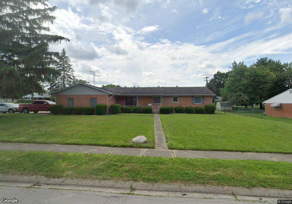
201 Rumson St Englewood, OH 45322
Estimated Value: $257,000 - $274,857
3
Beds
3
Baths
2,002
Sq Ft
$134/Sq Ft
Est. Value
About This Home
This home is located at 201 Rumson St, Englewood, OH 45322 and is currently estimated at $267,464, approximately $133 per square foot. 201 Rumson St is a home located in Montgomery County with nearby schools including Northmont High School, Trotwood Preparatory & Fitness Academy, and Salem Christian Academy.
Ownership History
Date
Name
Owned For
Owner Type
Purchase Details
Closed on
Jul 6, 2020
Sold by
Lindsey Treva L and Rademacher Nancy
Bought by
Genosier Karl E and Mathurin Vanessa
Current Estimated Value
Home Financials for this Owner
Home Financials are based on the most recent Mortgage that was taken out on this home.
Original Mortgage
$139,500
Interest Rate
2.8%
Mortgage Type
New Conventional
Create a Home Valuation Report for This Property
The Home Valuation Report is an in-depth analysis detailing your home's value as well as a comparison with similar homes in the area
Home Values in the Area
Average Home Value in this Area
Purchase History
| Date | Buyer | Sale Price | Title Company |
|---|---|---|---|
| Genosier Karl E | $155,000 | Vantage Land Title |
Source: Public Records
Mortgage History
| Date | Status | Borrower | Loan Amount |
|---|---|---|---|
| Previous Owner | Genosier Karl E | $139,500 |
Source: Public Records
Tax History Compared to Growth
Tax History
| Year | Tax Paid | Tax Assessment Tax Assessment Total Assessment is a certain percentage of the fair market value that is determined by local assessors to be the total taxable value of land and additions on the property. | Land | Improvement |
|---|---|---|---|---|
| 2024 | $4,335 | $76,110 | $12,890 | $63,220 |
| 2023 | $4,335 | $76,110 | $12,890 | $63,220 |
| 2022 | $3,961 | $53,520 | $9,080 | $44,440 |
| 2021 | $4,042 | $53,220 | $9,080 | $44,140 |
| 2020 | $3,242 | $53,220 | $9,080 | $44,140 |
| 2019 | $2,790 | $43,020 | $10,440 | $32,580 |
| 2018 | $2,740 | $43,020 | $10,440 | $32,580 |
| 2017 | $2,721 | $43,020 | $10,440 | $32,580 |
| 2016 | $2,620 | $41,170 | $9,080 | $32,090 |
| 2015 | $2,396 | $41,170 | $9,080 | $32,090 |
| 2014 | $2,396 | $41,170 | $9,080 | $32,090 |
| 2012 | -- | $42,670 | $10,200 | $32,470 |
Source: Public Records
Map
Nearby Homes
- 320 Camborne Dr
- 408 W Herr St
- 332 Beckenham Rd
- 118 Elm Ct
- 322 Rankin Dr
- 321 Rankin Dr
- 123 Chestnut St
- 604 Heather St
- 208 S Walnut St
- 430 N Main St
- 108 Tate Ave
- 607 Albert St
- 109 Silverstone Dr
- 63 Sweet Potato Ridge Rd
- 104 Silverstone Dr
- 206 Lodestone Dr
- 520 S Main St
- 803 Albert St
- 306 Pauly Dr
- 108 Denwood Trail
- 203 Rumson St
- 202 Beechgrove Dr
- 202 Rumson St
- 204 Beechgrove Dr
- 328 W Herr St
- 324 Camborne Dr
- 205 Rumson St
- 326 W Herr St
- 400 W Herr St
- 206 Beechgrove Dr
- 325 W Herr St
- 324 W Herr St
- 102 Union Blvd
- 201 Beechgrove Dr
- 402 W Herr St
- 322 Camborne Dr
- 207 Rumson St
- 329 Heather St
- 402 Westview Place
- 208 Beechgrove Dr