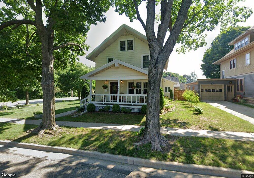
201 S 5th St Mount Horeb, WI 53572
Estimated Value: $372,000 - $391,106
3
Beds
2
Baths
1,770
Sq Ft
$216/Sq Ft
Est. Value
About This Home
This home is located at 201 S 5th St, Mount Horeb, WI 53572 and is currently estimated at $382,777, approximately $216 per square foot. 201 S 5th St is a home located in Dane County with nearby schools including Mount Horeb Intermediate School, Mount Horeb Primary Center, and Mount Horeb Middle School.
Ownership History
Date
Name
Owned For
Owner Type
Purchase Details
Closed on
Sep 28, 2009
Sold by
Associated Bank Na
Bought by
Sweeney Brian P
Current Estimated Value
Home Financials for this Owner
Home Financials are based on the most recent Mortgage that was taken out on this home.
Original Mortgage
$148,500
Outstanding Balance
$97,511
Interest Rate
5.19%
Mortgage Type
New Conventional
Estimated Equity
$285,266
Purchase Details
Closed on
May 19, 2009
Sold by
Gomez Daniel and Gomez Angela M
Bought by
Associated Bank Na
Purchase Details
Closed on
Sep 9, 2005
Sold by
Gotham Llc
Bought by
Gomez Daniel and Gomez Angela M
Home Financials for this Owner
Home Financials are based on the most recent Mortgage that was taken out on this home.
Original Mortgage
$189,000
Interest Rate
6.01%
Mortgage Type
New Conventional
Create a Home Valuation Report for This Property
The Home Valuation Report is an in-depth analysis detailing your home's value as well as a comparison with similar homes in the area
Home Values in the Area
Average Home Value in this Area
Purchase History
| Date | Buyer | Sale Price | Title Company |
|---|---|---|---|
| Sweeney Brian P | $165,000 | None Available | |
| Associated Bank Na | $161,900 | None Available | |
| Gomez Daniel | $189,000 | None Available |
Source: Public Records
Mortgage History
| Date | Status | Borrower | Loan Amount |
|---|---|---|---|
| Open | Sweeney Brian P | $148,500 | |
| Previous Owner | Gomez Daniel | $189,000 |
Source: Public Records
Tax History
| Year | Tax Paid | Tax Assessment Tax Assessment Total Assessment is a certain percentage of the fair market value that is determined by local assessors to be the total taxable value of land and additions on the property. | Land | Improvement |
|---|---|---|---|---|
| 2023 | $4,589 | $320,100 | $67,400 | $252,700 |
| 2022 | $4,123 | $211,300 | $48,100 | $163,200 |
| 2021 | $4,088 | $211,300 | $48,100 | $163,200 |
| 2020 | $4,047 | $211,300 | $48,100 | $163,200 |
| 2019 | $4,062 | $211,300 | $48,100 | $163,200 |
| 2018 | $3,988 | $211,300 | $48,100 | $163,200 |
| 2017 | $4,052 | $197,900 | $55,300 | $142,600 |
| 2016 | $3,840 | $197,900 | $55,300 | $142,600 |
| 2015 | $3,628 | $197,900 | $55,300 | $142,600 |
| 2014 | $3,782 | $197,900 | $55,300 | $142,600 |
| 2013 | $3,781 | $197,900 | $55,300 | $142,600 |
Source: Public Records
Map
Nearby Homes
- 214 S 8th St
- 114 N 2nd St
- 101 W Garfield St
- 105 W Garfield St
- 10.2 Acres Wisconsin 78
- 211 W Garfield St
- 209 Buechner Dr
- 100 Jennifer Cir
- 399 Michele St Unit 399
- 708 S 2nd St
- 5.1 Ac Michele St
- 99 Orchard Ln
- 204 Westmorland Dr
- 505 Alan Dr
- 613 Trotter Dr
- 402 Blue View Dr
- 1032 Vista Ridge Dr
- 712 Brookview Trail
- 809 Maple Dr
- 613 Lucky Trail
Your Personal Tour Guide
Ask me questions while you tour the home.