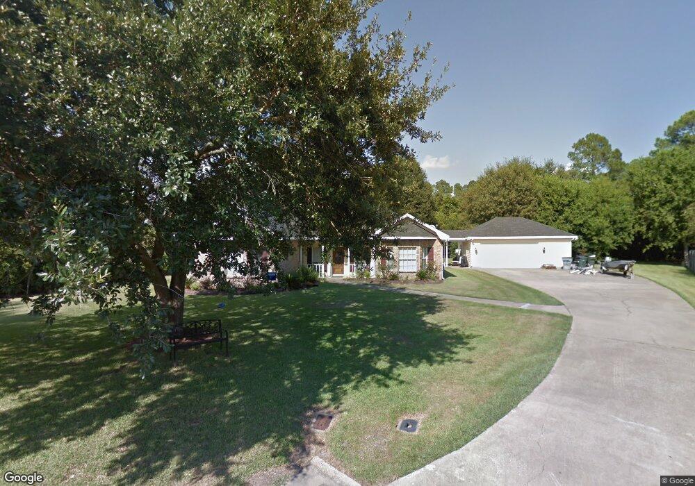
201 S Blossom Ln Lake Charles, LA 70605
Estimated Value: $270,000 - $323,437
4
Beds
3
Baths
2,740
Sq Ft
$105/Sq Ft
Est. Value
About This Home
This home is located at 201 S Blossom Ln, Lake Charles, LA 70605 and is currently estimated at $286,859, approximately $104 per square foot. 201 S Blossom Ln is a home located in Calcasieu Parish with nearby schools including Dolby Elementary School, Francis Wyman Elementary School, and F.K. White Middle School.
Ownership History
Date
Name
Owned For
Owner Type
Purchase Details
Closed on
Aug 10, 2017
Sold by
Dbi Asg Coinvestor Fund Ii Llc
Bought by
Mission Land Llc
Current Estimated Value
Purchase Details
Closed on
Feb 24, 2005
Sold by
Duplechin Kenneth Mark and Duplechin Lori Ann
Bought by
Dugas Timothy Wade and Dugas Lori Lasalle
Create a Home Valuation Report for This Property
The Home Valuation Report is an in-depth analysis detailing your home's value as well as a comparison with similar homes in the area
Home Values in the Area
Average Home Value in this Area
Purchase History
| Date | Buyer | Sale Price | Title Company |
|---|---|---|---|
| Mission Land Llc | $182,000 | None Available | |
| Dugas Timothy Wade | $178,000 | None Available |
Source: Public Records
Mortgage History
| Date | Status | Borrower | Loan Amount |
|---|---|---|---|
| Closed | Dugas Timothy Wade | $0 |
Source: Public Records
Tax History Compared to Growth
Tax History
| Year | Tax Paid | Tax Assessment Tax Assessment Total Assessment is a certain percentage of the fair market value that is determined by local assessors to be the total taxable value of land and additions on the property. | Land | Improvement |
|---|---|---|---|---|
| 2024 | $1,834 | $19,130 | $2,490 | $16,640 |
| 2023 | $1,834 | $19,130 | $2,490 | $16,640 |
| 2022 | $1,849 | $19,130 | $2,490 | $16,640 |
| 2021 | $1,601 | $19,130 | $2,490 | $16,640 |
| 2020 | $1,674 | $17,370 | $2,390 | $14,980 |
| 2019 | $1,829 | $18,950 | $2,310 | $16,640 |
| 2018 | $1,833 | $18,950 | $2,310 | $16,640 |
| 2017 | $1,846 | $18,950 | $2,310 | $16,640 |
| 2016 | $1,865 | $18,950 | $2,310 | $16,640 |
| 2015 | $1,865 | $18,950 | $2,310 | $16,640 |
Source: Public Records
Map
Nearby Homes
- 132 Lee St
- 645 Esplanade St
- 421 & 423 Broussard Ln Ln
- 0 Petro Point Dr
- 445 Washington St
- 208 Dolby St
- 714 Rampart St
- 333 Beauregard St
- 354 Jefferson Dr
- 730 Rampart St
- 609 Dolby St
- 4823 Gentilly St
- 0 Tallow Rd Unit SWL24005610
- 1530 L'Acadie Dr Unit 8
- 1530 L'Acadie Dr Unit 20
- 720 Royal St
- 802 Sundale Dr
- 620 Bienville St Unit 2
- 878 Link Rd
- 239 Arlington Dr
- 0 Blossom Ln
- 205 S Blossom Ln
- 205 Blossom St
- 571 Jefferson Dr
- 202 S Blossom Ln
- 209 S Blossom Ln
- 569 Jefferson Dr
- 207 Oakwood Dr
- 575 Jefferson Dr
- 204 S Blossom Ln
- 106 E Greenway St
- 563 Jefferson Dr
- 112 E Greenway St
- 583 Jefferson Dr
- 112 E Greenway St
- 0 E Greenway St
- 221 Oakwood Dr
- 203 Oakwood Place
- 221 Oakwood Place
- 203 Oakwood Dr