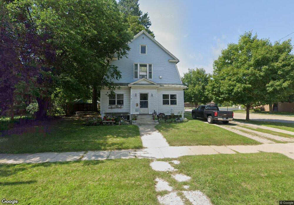
201 S Broas St Belding, MI 48809
Estimated Value: $221,000 - $238,000
5
Beds
2
Baths
1,808
Sq Ft
$128/Sq Ft
Est. Value
About This Home
This home is located at 201 S Broas St, Belding, MI 48809 and is currently estimated at $230,799, approximately $127 per square foot. 201 S Broas St is a home located in Ionia County with nearby schools including Ellis Elementary School, Woodview Elementary School, and Belding Middle School.
Ownership History
Date
Name
Owned For
Owner Type
Purchase Details
Closed on
Oct 27, 2006
Sold by
Perry Emerald Earl
Bought by
Carstens Michael J
Current Estimated Value
Home Financials for this Owner
Home Financials are based on the most recent Mortgage that was taken out on this home.
Original Mortgage
$52,775
Outstanding Balance
$31,514
Interest Rate
6.38%
Mortgage Type
Purchase Money Mortgage
Estimated Equity
$199,285
Create a Home Valuation Report for This Property
The Home Valuation Report is an in-depth analysis detailing your home's value as well as a comparison with similar homes in the area
Home Values in the Area
Average Home Value in this Area
Purchase History
| Date | Buyer | Sale Price | Title Company |
|---|---|---|---|
| Carstens Michael J | $52,775 | None Available |
Source: Public Records
Mortgage History
| Date | Status | Borrower | Loan Amount |
|---|---|---|---|
| Open | Carstens Michael J | $52,775 |
Source: Public Records
Tax History Compared to Growth
Tax History
| Year | Tax Paid | Tax Assessment Tax Assessment Total Assessment is a certain percentage of the fair market value that is determined by local assessors to be the total taxable value of land and additions on the property. | Land | Improvement |
|---|---|---|---|---|
| 2025 | $1,602 | $88,700 | $12,300 | $76,400 |
| 2024 | $1,501 | $88,700 | $12,300 | $76,400 |
| 2023 | $1,440 | $63,200 | $11,300 | $51,900 |
| 2022 | $1,372 | $63,200 | $11,300 | $51,900 |
| 2021 | $1,424 | $51,300 | $7,300 | $44,000 |
| 2020 | $1,329 | $51,300 | $7,300 | $44,000 |
| 2019 | $1,245 | $46,500 | $7,000 | $39,500 |
| 2018 | $1,393 | $39,500 | $8,000 | $31,500 |
| 2017 | $1,256 | $39,500 | $8,000 | $31,500 |
| 2016 | $1,245 | $33,800 | $5,000 | $28,800 |
| 2015 | -- | $33,800 | $5,000 | $28,800 |
| 2014 | $1,408 | $32,000 | $4,800 | $27,200 |
Source: Public Records
Map
Nearby Homes
- 205 Pearl St
- 509 W Congress St
- 404 S Bridge St
- 107 W Center St
- 615 Pearl St
- 115 E Center St
- 710 S Broas St
- 121 W Ann St
- 717 Pleasant St
- 1003 Masonic Ave
- 421 Lewis St
- 833 Morgan Dr
- 110 E Isabelle St
- 710 James St
- 917 S Bridge St
- 222 E Ellis Ave
- 1017 Pearl St
- 740 Crawford St
- 208 Leonard St
- 216 Leonard St
- 209 S Broas St
- 215 S Broas St
- 206 S Broas St
- 204 S Front St
- 210 S Front St
- 221 S Broas St
- 210 S Broas St
- 216 S Front St
- 414 W Washington St
- 222 S Broas St
- 222 S Front St
- 401 W Main St
- 203 S Front St
- 303 S Broas St
- 215 S Front St
- 415 W Washington St
- 223 S Front St
- 405 W Main St
- 321 S Broas St
- 313 S Broas St