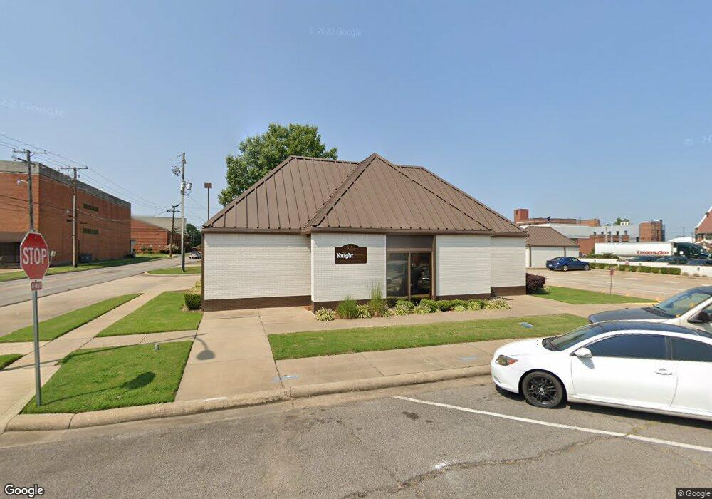
201 S Denver Ave Russellville, AR 72801
Estimated Value: $2,359,085
--
Bed
--
Bath
25,756
Sq Ft
$92/Sq Ft
Est. Value
About This Home
This home is located at 201 S Denver Ave, Russellville, AR 72801 and is currently estimated at $2,359,085, approximately $91 per square foot. 201 S Denver Ave is a home located in Pope County with nearby schools including Russellville Upper Elementary School, Dwight Elementary School, and Russellville Middle School.
Ownership History
Date
Name
Owned For
Owner Type
Purchase Details
Closed on
Jan 5, 2023
Sold by
Parade Properties Llc
Bought by
Norristown Holdings Llc
Current Estimated Value
Purchase Details
Closed on
Jun 15, 2005
Sold by
Not Provided
Bought by
First States Investors
Create a Home Valuation Report for This Property
The Home Valuation Report is an in-depth analysis detailing your home's value as well as a comparison with similar homes in the area
Home Values in the Area
Average Home Value in this Area
Purchase History
| Date | Buyer | Sale Price | Title Company |
|---|---|---|---|
| Norristown Holdings Llc | $2,175,000 | Heritage Title | |
| First States Investors | $1,681,000 | -- |
Source: Public Records
Tax History Compared to Growth
Tax History
| Year | Tax Paid | Tax Assessment Tax Assessment Total Assessment is a certain percentage of the fair market value that is determined by local assessors to be the total taxable value of land and additions on the property. | Land | Improvement |
|---|---|---|---|---|
| 2025 | $19,685 | $434,556 | $42,180 | $392,376 |
| 2024 | $6,482 | $140,600 | $42,180 | $98,420 |
| 2023 | $6,482 | $140,600 | $42,180 | $98,420 |
| 2022 | $6,443 | $140,600 | $42,180 | $98,420 |
| 2021 | $6,443 | $140,600 | $42,180 | $98,420 |
| 2020 | $8,107 | $176,920 | $48,020 | $128,900 |
| 2019 | $8,178 | $176,920 | $48,020 | $128,900 |
| 2018 | $8,171 | $176,920 | $48,020 | $128,900 |
| 2017 | $8,156 | $176,920 | $48,020 | $128,900 |
| 2016 | $6,487 | $140,600 | $11,700 | $128,900 |
| 2015 | $6,369 | $140,600 | $11,700 | $128,900 |
| 2014 | $6,482 | $140,600 | $11,700 | $128,900 |
Source: Public Records
Map
Nearby Homes
- 511 W 4th St
- 310 S Houston Ave
- 421 S Glenwood Ave
- 505 S Boulder Ave
- 612 S Commerce Ave
- 502 N Cleveland Ave
- 416 W 8th St
- 409 W 8th St
- 421 E F St
- 1306 W Main St
- 612 E E St
- 1006 S El Paso Ave
- 617 E E St
- 920 N Fargo Ave
- 724 E Parkway Dr
- 622 S Greenwich Ave
- 900 N Detroit Ave
- 233 E J St
- 208 S Phoenix Ave
- 209 S Quanah Ave
- 200 S Denver Ave
- 312 W 2nd St
- 314 W 2nd St
- 116 S Commerce Ave
- 116 So Commerce (Hacks)
- 110 S Denver Ave
- 110 S Commerce Ave
- 110 & 114 S Commerce St
- 112 S Commerce Ave
- 304 S Denver Ave
- 304 S Commerce Ave
- 203 S Commerce Ave
- 8 & 9 Spencer Addn
- 311 W Main St
- 312 S Denver Ave
- 209 W Main St
- 501 W 3rd St
- 210 S Boulder Ave
- 2502 E Main St
- 2707 E Main St