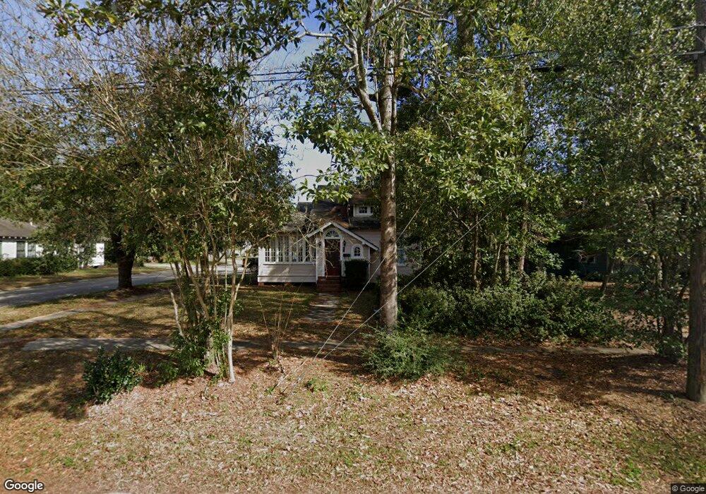
201 S General Pershing St Unit A Hammond, LA 70403
Estimated Value: $204,000 - $354,000
1
Bed
1
Bath
700
Sq Ft
$442/Sq Ft
Est. Value
About This Home
This home is located at 201 S General Pershing St Unit A, Hammond, LA 70403 and is currently estimated at $309,161, approximately $441 per square foot. 201 S General Pershing St Unit A is a home located in Tangipahoa Parish with nearby schools including Woodland Park Magnet, Greenville Park Leadership Academy, and Hammond High Magnet School.
Ownership History
Date
Name
Owned For
Owner Type
Purchase Details
Closed on
Jul 23, 2012
Sold by
Eaf Holdings Llc
Bought by
Amlh1 Llc
Current Estimated Value
Purchase Details
Closed on
Mar 30, 2006
Sold by
Lejeune Melissa Finnan and Lejeune Randall Ira
Bought by
Fellows Elizabeth A
Home Financials for this Owner
Home Financials are based on the most recent Mortgage that was taken out on this home.
Original Mortgage
$143,920
Interest Rate
6.21%
Mortgage Type
Future Advance Clause Open End Mortgage
Create a Home Valuation Report for This Property
The Home Valuation Report is an in-depth analysis detailing your home's value as well as a comparison with similar homes in the area
Home Values in the Area
Average Home Value in this Area
Purchase History
| Date | Buyer | Sale Price | Title Company |
|---|---|---|---|
| Amlh1 Llc | -- | None Available | |
| Fellows Elizabeth A | $179,900 | Fouders Title Co |
Source: Public Records
Mortgage History
| Date | Status | Borrower | Loan Amount |
|---|---|---|---|
| Previous Owner | Fellows Elizabeth A | $143,920 |
Source: Public Records
Tax History Compared to Growth
Tax History
| Year | Tax Paid | Tax Assessment Tax Assessment Total Assessment is a certain percentage of the fair market value that is determined by local assessors to be the total taxable value of land and additions on the property. | Land | Improvement |
|---|---|---|---|---|
| 2024 | $1,631 | $19,704 | $5,400 | $14,304 |
| 2023 | $1,613 | $19,303 | $5,000 | $14,303 |
| 2022 | $1,613 | $19,303 | $5,000 | $14,303 |
| 2021 | $2,025 | $19,303 | $5,000 | $14,303 |
| 2020 | $2,019 | $19,303 | $5,000 | $14,303 |
| 2019 | $2,014 | $19,303 | $5,000 | $14,303 |
| 2018 | $2,019 | $19,303 | $5,000 | $14,303 |
| 2017 | $1,477 | $14,123 | $4,000 | $10,123 |
| 2016 | $1,477 | $14,123 | $4,000 | $10,123 |
| 2015 | $1,182 | $14,123 | $4,000 | $10,123 |
| 2014 | $1,126 | $14,123 | $4,000 | $10,123 |
Source: Public Records
Map
Nearby Homes
- 201 S General Pershing St
- 201 S General Pershing St
- 201 S General Pershing St Unit B
- 205 S General Pershing St
- 707 W Morris Ave
- 200 S General Pershing St
- 113 S General Pershing St
- 205 S General Pershing None
- 111 S General Pershing St
- 202 S General Pershing St
- 703 W Morris Ave
- 206 S General Pershing St
- 204 S General Pershing St
- 209 S General Pershing St
- 803 W Morris Ave
- 110 S Wilson St
- 202 S Wilson St
- 112 S General Pershing St
- 108 S Wilson St
- 700 Edwin Neill Way