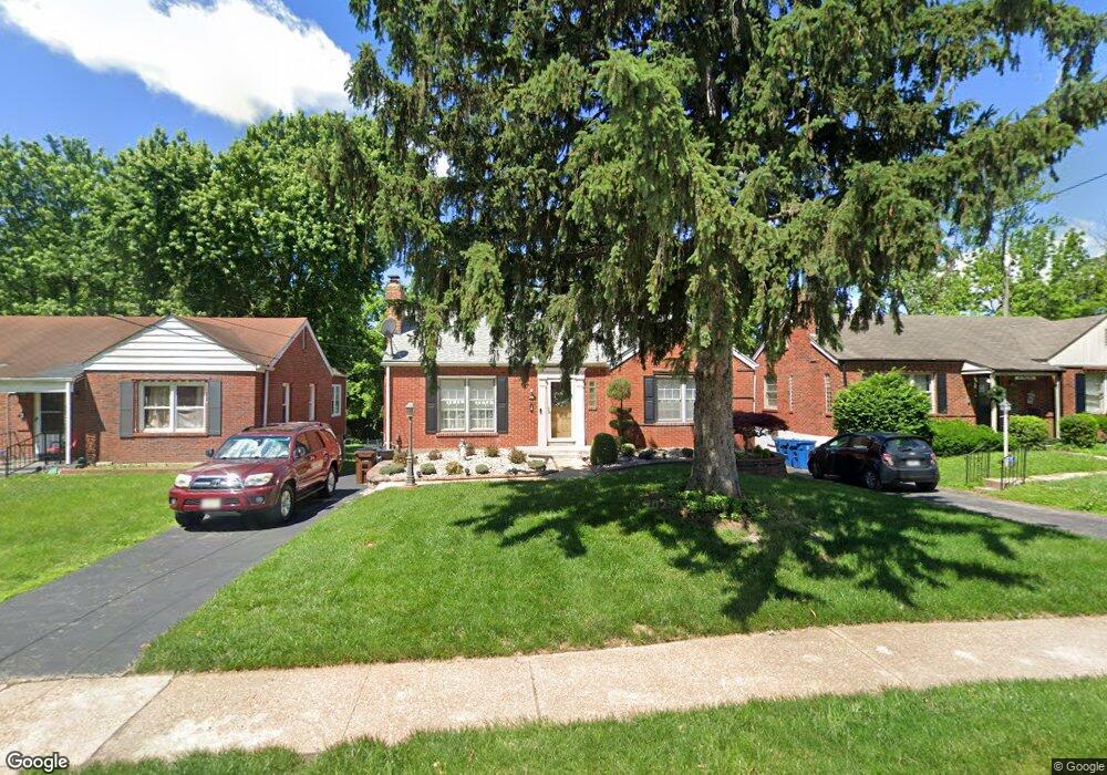
201 S Hartnett Ave Saint Louis, MO 63135
Estimated Value: $78,000 - $95,000
2
Beds
1
Bath
942
Sq Ft
$93/Sq Ft
Est. Value
About This Home
This home is located at 201 S Hartnett Ave, Saint Louis, MO 63135 and is currently estimated at $87,774, approximately $93 per square foot. 201 S Hartnett Ave is a home located in St. Louis County with nearby schools including Vogt Elementary School, Ferguson Middle School, and McCluer High School.
Ownership History
Date
Name
Owned For
Owner Type
Purchase Details
Closed on
Sep 4, 2020
Sold by
Gruender Michelle S
Bought by
Robbins Cheryl Lynn
Current Estimated Value
Home Financials for this Owner
Home Financials are based on the most recent Mortgage that was taken out on this home.
Original Mortgage
$55,000
Outstanding Balance
$48,718
Interest Rate
2.8%
Mortgage Type
New Conventional
Estimated Equity
$39,056
Create a Home Valuation Report for This Property
The Home Valuation Report is an in-depth analysis detailing your home's value as well as a comparison with similar homes in the area
Home Values in the Area
Average Home Value in this Area
Purchase History
| Date | Buyer | Sale Price | Title Company |
|---|---|---|---|
| Robbins Cheryl Lynn | $55,000 | Touchstone Title & Abstract |
Source: Public Records
Mortgage History
| Date | Status | Borrower | Loan Amount |
|---|---|---|---|
| Open | Robbins Cheryl Lynn | $55,000 |
Source: Public Records
Tax History Compared to Growth
Tax History
| Year | Tax Paid | Tax Assessment Tax Assessment Total Assessment is a certain percentage of the fair market value that is determined by local assessors to be the total taxable value of land and additions on the property. | Land | Improvement |
|---|---|---|---|---|
| 2025 | $1,240 | $20,310 | $3,650 | $16,660 |
| 2024 | $1,240 | $17,010 | $2,530 | $14,480 |
| 2023 | $1,233 | $17,010 | $2,530 | $14,480 |
| 2022 | $1,055 | $12,630 | $3,170 | $9,460 |
| 2021 | $1,021 | $12,630 | $3,170 | $9,460 |
| 2020 | $1,020 | $11,340 | $2,810 | $8,530 |
| 2019 | $1,001 | $11,340 | $2,810 | $8,530 |
| 2018 | $1,163 | $11,800 | $2,450 | $9,350 |
| 2017 | $1,140 | $11,800 | $2,450 | $9,350 |
| 2016 | $928 | $9,400 | $2,070 | $7,330 |
| 2015 | $934 | $9,400 | $2,070 | $7,330 |
| 2014 | $1,205 | $12,070 | $2,300 | $9,770 |
Source: Public Records
Map
Nearby Homes
- 141 S Barat Ave
- 135 S Barat Ave
- 29 Godfrey Ln
- 215 Bruce Ave
- 299 Dashwood Dr
- 50 Fenwick Dr
- 125 Forestwood Dr
- 208 Coppinger Dr
- 38 Lee Ave
- 12 N Maple Ave
- 37 Lee Ave
- 310 Ames Place
- 315 Coppinger Dr
- 33 S Schlueter Ave
- 30 Paul Ave
- 29 Patricia Ave
- 705 Beardsley Ct
- 408 Coppinger Dr
- 324 Ames Place
- 720 Beardsley Ct
- 205 S Hartnett Ave
- 143 S Hartnett Ave
- 209 S Hartnett Ave
- 135 S Hartnett Ave
- 213 S Hartnett Ave
- 202 S Barat Ave
- 208 S Barat Ave
- 142 S Barat Ave
- 212 S Barat Ave
- 131 S Hartnett Ave
- 202 S Hartnett Ave
- 138 S Barat Ave
- 206 S Hartnett Ave
- 221 S Hartnett Ave
- 218 S Barat Ave
- 216 S Hartnett Ave
- 127 S Hartnett Ave
- 134 S Barat Ave
- 218 S Hartnett Ave
- 222 S Barat Ave