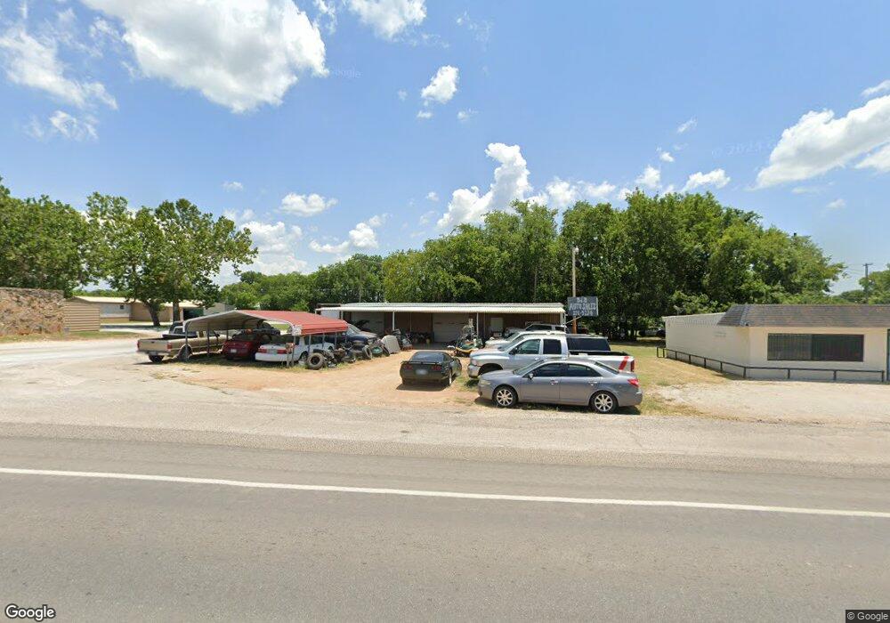
201 S Highway 77 Marietta, OK 73448
Estimated Value: $137,994
--
Bed
--
Bath
820
Sq Ft
$168/Sq Ft
Est. Value
About This Home
This home is located at 201 S Highway 77, Marietta, OK 73448 and is currently estimated at $137,994, approximately $168 per square foot. 201 S Highway 77 is a home located in Love County with nearby schools including Marietta Elementary School, Marietta Middle School, and Marietta High School.
Ownership History
Date
Name
Owned For
Owner Type
Purchase Details
Closed on
May 23, 2025
Sold by
Joe E Franklin Revocable Trust and Martha Lou Franklin Revocable Trust
Bought by
Timothy M Franklin And Glenita Franklin Famil and Franklin
Current Estimated Value
Purchase Details
Closed on
Nov 5, 2022
Sold by
Kneece Lisa
Bought by
Kneece Lisa and Jacobs Tammy S
Purchase Details
Closed on
Aug 1, 2019
Sold by
Westfall Jeremie Trey and Westfall Kerri B
Bought by
Kneece Lisa
Purchase Details
Closed on
Mar 26, 2001
Sold by
Lumry Donald L
Bought by
Buckaloo Mary L
Create a Home Valuation Report for This Property
The Home Valuation Report is an in-depth analysis detailing your home's value as well as a comparison with similar homes in the area
Home Values in the Area
Average Home Value in this Area
Purchase History
| Date | Buyer | Sale Price | Title Company |
|---|---|---|---|
| Timothy M Franklin And Glenita Franklin Famil | -- | None Listed On Document | |
| Timothy M Franklin And Glenita Franklin Famil | -- | None Listed On Document | |
| Kneece Lisa | -- | -- | |
| Kneece Lisa | $90,000 | None Available | |
| Buckaloo Mary L | $30,000 | -- |
Source: Public Records
Tax History Compared to Growth
Tax History
| Year | Tax Paid | Tax Assessment Tax Assessment Total Assessment is a certain percentage of the fair market value that is determined by local assessors to be the total taxable value of land and additions on the property. | Land | Improvement |
|---|---|---|---|---|
| 2024 | $568 | $5,088 | $2,303 | $2,785 |
| 2023 | $1,147 | $10,800 | $2,303 | $8,497 |
| 2022 | $1,115 | $10,800 | $2,303 | $8,497 |
| 2021 | $1,172 | $10,800 | $2,303 | $8,497 |
| 2020 | $1,061 | $10,800 | $2,303 | $8,497 |
| 2019 | $387 | $4,001 | $2,303 | $1,698 |
| 2018 | $389 | $4,001 | $2,303 | $1,698 |
| 2017 | $378 | $3,810 | $2,303 | $1,507 |
| 2016 | $381 | $3,861 | $2,303 | $1,558 |
| 2015 | $372 | $3,677 | $2,303 | $1,374 |
| 2014 | $355 | $3,677 | $2,303 | $1,374 |
Source: Public Records
Map
Nearby Homes
- 0 State Highway 32
- 706 W Chickasaw St
- 613 Higgins St
- 100 C E Colston Dr
- 503 N 4th Ave
- 6026 S Appaloosa
- 1104 Veterans Ave
- 505 S Ashwood Ave
- 501 Mayall St
- 103 E Pine St
- 1204 Gantt Dr
- 110 S Driftwood Ave
- 408 E Cherokee St
- 605 E Cherokee St
- 603 E Chickasaw St
- 8147 U S 77
- 12992 Cemetery Rd
- 0 Cemetery Rd
- 12600 State Highway 32
- 9335 Allen Rd
- 200 S Highway 77
- 0000 Highway 77
- 3271 U S 77
- 707 W Chickasaw St
- 101 S Highway 77
- 706 W Cherokee St
- 705 W Chickasaw St
- 801 W Cherokee St
- 704 W Chickasaw St
- 704 W Cherokee St
- 100 S Highway 77
- 703 W Chickasaw St
- 709 W Cherokee St
- 701 W Chickasaw St
- 707 W Cherokee St
- 703 W Main St
- 104 S 7th Ave
- 202 SW 7th Ave
- 701 W Main St
- 204 SW 7th Ave