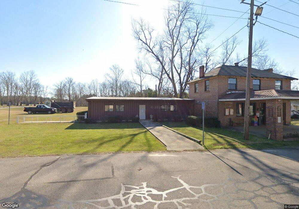
201 S Main St Davisboro, GA 31018
Estimated Value: $78,188 - $158,000
--
Bed
--
Bath
1,672
Sq Ft
$71/Sq Ft
Est. Value
About This Home
This home is located at 201 S Main St, Davisboro, GA 31018 and is currently estimated at $119,297, approximately $71 per square foot. 201 S Main St is a home with nearby schools including Ridge Road Primary School, Ridge Road Elementary School, and T.J. Elder Middle School.
Ownership History
Date
Name
Owned For
Owner Type
Purchase Details
Closed on
Mar 26, 2012
Sold by
Ridgeway Donna
Bought by
Town Of Davisboro
Current Estimated Value
Purchase Details
Closed on
Aug 5, 2008
Sold by
Mcguire Jerry G
Bought by
Ridgeway Donna
Purchase Details
Closed on
Nov 2, 1998
Sold by
Overstreet Hoke
Bought by
Mcguire Jerry G and Mcguire Marilyn O
Purchase Details
Closed on
Nov 15, 1983
Sold by
Williams Jeannette M Warthen Etal
Bought by
Overstreet Hoke
Purchase Details
Closed on
Nov 4, 1983
Sold by
Williams Jeannette M Warthen
Bought by
Overstreet Hoke
Purchase Details
Closed on
Dec 10, 1970
Purchase Details
Closed on
Apr 25, 1944
Purchase Details
Closed on
Jun 15, 1921
Create a Home Valuation Report for This Property
The Home Valuation Report is an in-depth analysis detailing your home's value as well as a comparison with similar homes in the area
Home Values in the Area
Average Home Value in this Area
Purchase History
| Date | Buyer | Sale Price | Title Company |
|---|---|---|---|
| Town Of Davisboro | $40,500 | -- | |
| Ridgeway Donna | $35,000 | -- | |
| Mcguire Jerry G | $28,800 | -- | |
| Overstreet Hoke | -- | -- | |
| Overstreet Hoke | $6,000 | -- | |
| -- | -- | -- | |
| -- | -- | -- | |
| -- | -- | -- |
Source: Public Records
Tax History Compared to Growth
Tax History
| Year | Tax Paid | Tax Assessment Tax Assessment Total Assessment is a certain percentage of the fair market value that is determined by local assessors to be the total taxable value of land and additions on the property. | Land | Improvement |
|---|---|---|---|---|
| 2024 | -- | $27,160 | $560 | $26,600 |
| 2023 | $688 | $19,640 | $400 | $19,240 |
| 2022 | $688 | $19,640 | $400 | $19,240 |
| 2021 | $688 | $19,640 | $400 | $19,240 |
| 2020 | $693 | $19,640 | $400 | $19,240 |
| 2019 | $692 | $19,640 | $400 | $19,240 |
| 2018 | $705 | $19,640 | $400 | $19,240 |
| 2017 | $659 | $21,523 | $425 | $21,098 |
| 2016 | $659 | $21,523 | $425 | $21,098 |
| 2015 | $643 | $806 | $425 | $21,098 |
| 2014 | $643 | $21,761 | $662 | $21,098 |
| 2013 | $643 | $21,877 | $779 | $21,098 |
Source: Public Records
Map
Nearby Homes
- 00 Breezy Hill Rd
- Lt.1 Harrison-Davisboro Rd Unit 1
- Lt.1 Harrison-Davisboro Rd
- 39.702 AC Heards Bridge Rd
- 6055 Sun Hill Grange Rd
- 265 Jordan Meadow Ln
- 9357 E Highway 242
- 00 Henderson Grove Rd
- 8849 Sunhill Rd
- 3195 Henderson Grove Rd
- 0 Jackson Gin Rd Unit 10439206
- 0 Jackson Gin Rd Unit 52265
- 0 Jackson Gin Rd Unit 10469996
- 12171 N Highway 171
- 0 Newman Smith Rd Unit 10573699
- 0 Newman Smith Rd Unit 24281399
- 00 Sheppard Rd
- 0 Sheppard Rd Unit 10545353
- 3626 Georgia 24
- 3626 Highway 24 E
- 0 Georgia 231 Unit 8624101
- 0 Georgia 231 Unit 8776165
- 0 Georgia 231
- 110 S Main St
- 208 S Main St
- 102 W Brown Dr
- 107 N Main St
- 114 W Brown Dr
- 103 E Railroad St
- 211 W Moye Cir
- 203 E Railroad St
- 119 N Main St
- 205 W Mccoy St
- 207 W Mccoy St
- 206 Tatum St
- 211 W Mccoy St
- 131 N Main St
- 112 N Thomas St
- 137 Brooks St
- 203 N Main St