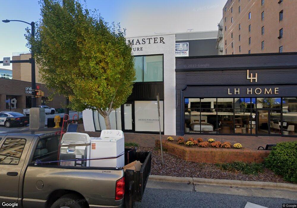
201 S Main St High Point, NC 27260
Downtown High Point NeighborhoodEstimated Value: $1,517,825
--
Bed
4
Baths
5,400
Sq Ft
$281/Sq Ft
Est. Value
About This Home
This home is located at 201 S Main St, High Point, NC 27260 and is currently estimated at $1,517,825, approximately $281 per square foot. 201 S Main St is a home located in Guilford County with nearby schools including Northwood Elementary School, Ferndale Middle School, and High Point Central High School.
Ownership History
Date
Name
Owned For
Owner Type
Purchase Details
Closed on
Apr 29, 2011
Sold by
Fine Shavitz Inc
Bought by
Crossroads 3 Llc
Current Estimated Value
Home Financials for this Owner
Home Financials are based on the most recent Mortgage that was taken out on this home.
Original Mortgage
$100,000
Interest Rate
4.74%
Mortgage Type
Seller Take Back
Create a Home Valuation Report for This Property
The Home Valuation Report is an in-depth analysis detailing your home's value as well as a comparison with similar homes in the area
Home Values in the Area
Average Home Value in this Area
Purchase History
| Date | Buyer | Sale Price | Title Company |
|---|---|---|---|
| Crossroads 3 Llc | $65,000 | Chicago Title Insurance Co |
Source: Public Records
Mortgage History
| Date | Status | Borrower | Loan Amount |
|---|---|---|---|
| Closed | Crossroads 3 Llc | $100,000 |
Source: Public Records
Tax History Compared to Growth
Tax History
| Year | Tax Paid | Tax Assessment Tax Assessment Total Assessment is a certain percentage of the fair market value that is determined by local assessors to be the total taxable value of land and additions on the property. | Land | Improvement |
|---|---|---|---|---|
| 2025 | $6,477 | $470,000 | $87,300 | $382,700 |
| 2024 | $6,477 | $470,000 | $87,300 | $382,700 |
| 2023 | $6,477 | $470,000 | $87,300 | $382,700 |
| 2022 | $6,336 | $470,000 | $87,300 | $382,700 |
| 2021 | $5,136 | $372,700 | $79,400 | $293,300 |
| 2020 | $5,136 | $372,700 | $79,400 | $293,300 |
| 2019 | $5,136 | $372,700 | $0 | $0 |
| 2018 | $5,110 | $372,700 | $0 | $0 |
| 2017 | $5,136 | $372,700 | $0 | $0 |
| 2016 | $5,157 | $367,700 | $0 | $0 |
| 2015 | $5,185 | $367,700 | $0 | $0 |
| 2014 | $5,273 | $367,700 | $0 | $0 |
Source: Public Records
Map
Nearby Homes
- 317 W High Ave Unit 15A
- 523/525 Smith St
- 423 Tate St
- 527 Smith St Unit A & B
- 809 E Green Dr
- 507 E Grimes Ave
- 402 Walnut St
- 805 Granby Ave
- 517 Walnut St
- 702 Park St
- 616 S Elm St
- 518 Whiteoak St
- 113 Edgeworth St
- 505 Forrest St
- 421 Gatewood Ave
- 711 Fairview St
- 909 Sharon St
- 601 W Westwood Ave
- 408 Hobson St
- 523 Cross St
- 135 S Main St Unit 821
- 135 S Main St Unit 817
- 135 S Main St Unit 819
- 142 S Main St
- 157 E Green Dr
- 225 S Elm St
- 113 W Green Dr
- 311 S Elm St
- 315 S Elm St
- 110 N Wrenn St
- 101 S Hamilton St
- 118 W Russell Ave
- 212 W Kivett Dr
- 412 W Green Dr
- 212 N Main St
- 212 N Main St Unit 4C
- 212 N Main St Unit 4B
- 212 N Main St Unit 4A
- 212 N Main St Unit 3H
- 212 N Main St Unit 3G