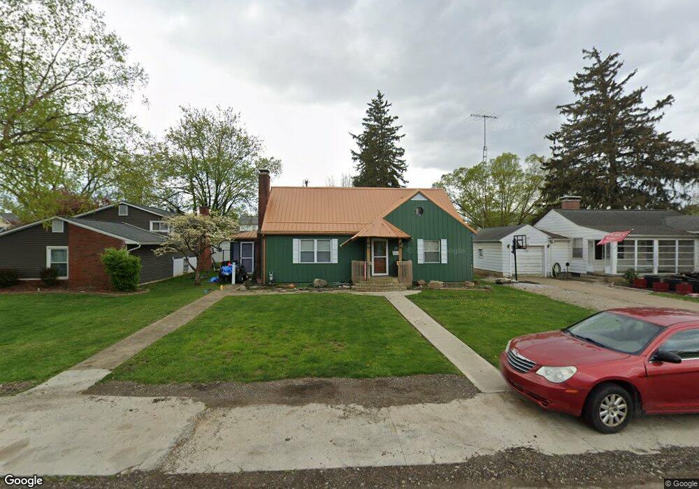
201 S Quentin Rd Newark, OH 43055
Estimated Value: $185,000 - $279,000
3
Beds
2
Baths
1,850
Sq Ft
$130/Sq Ft
Est. Value
About This Home
This home is located at 201 S Quentin Rd, Newark, OH 43055 and is currently estimated at $241,112, approximately $130 per square foot. 201 S Quentin Rd is a home located in Licking County with nearby schools including John Clem Elementary School, Liberty Middle School, and Newark High School.
Ownership History
Date
Name
Owned For
Owner Type
Purchase Details
Closed on
Nov 27, 2024
Sold by
Tricounty Home Solutions Llc
Bought by
Partin Eugene
Current Estimated Value
Purchase Details
Closed on
May 17, 2023
Sold by
Edwards Ahmed F
Bought by
Tri County Home Solutions Llc
Purchase Details
Closed on
Sep 20, 2022
Sold by
Wolford Reed W
Bought by
Wolford Julia Anne
Purchase Details
Closed on
Jun 14, 2010
Sold by
Wolford Reed W
Bought by
Wolford Julia Anne
Home Financials for this Owner
Home Financials are based on the most recent Mortgage that was taken out on this home.
Original Mortgage
$88,500
Interest Rate
5.05%
Mortgage Type
Seller Take Back
Create a Home Valuation Report for This Property
The Home Valuation Report is an in-depth analysis detailing your home's value as well as a comparison with similar homes in the area
Home Values in the Area
Average Home Value in this Area
Purchase History
| Date | Buyer | Sale Price | Title Company |
|---|---|---|---|
| Partin Eugene | $174,900 | None Listed On Document | |
| Partin Eugene | $174,900 | None Listed On Document | |
| Tri County Home Solutions Llc | -- | None Listed On Document | |
| Wolford Julia Anne | -- | -- | |
| Wolford Julia Anne | $88,500 | Attorney |
Source: Public Records
Mortgage History
| Date | Status | Borrower | Loan Amount |
|---|---|---|---|
| Previous Owner | Wolford Julia Anne | $88,500 |
Source: Public Records
Tax History Compared to Growth
Tax History
| Year | Tax Paid | Tax Assessment Tax Assessment Total Assessment is a certain percentage of the fair market value that is determined by local assessors to be the total taxable value of land and additions on the property. | Land | Improvement |
|---|---|---|---|---|
| 2024 | $2,246 | $61,220 | $12,180 | $49,040 |
| 2023 | $2,242 | $61,220 | $12,180 | $49,040 |
| 2022 | $2,077 | $51,800 | $10,570 | $41,230 |
| 2021 | $2,178 | $51,800 | $10,570 | $41,230 |
| 2020 | $2,231 | $51,800 | $10,570 | $41,230 |
| 2019 | $1,836 | $41,090 | $8,120 | $32,970 |
| 2018 | $1,922 | $0 | $0 | $0 |
| 2017 | $6,547 | $0 | $0 | $0 |
| 2016 | $9,098 | $0 | $0 | $0 |
| 2015 | $1,681 | $0 | $0 | $0 |
| 2014 | $831 | $0 | $0 | $0 |
| 2013 | $8,993 | $0 | $0 | $0 |
Source: Public Records
Map
Nearby Homes
- 227 N Quentin Rd
- 52 Charles St
- 542 Mount Vernon Rd
- 370 Meadowbrook Dr
- 425 N 11th St
- 544 Hudson Ave
- 403 Meadowbrook Dr
- 27 E Channel St
- 467 Mount Vernon Rd
- 440 Reverie Place
- 473 Meadowbrook Dr
- 423 Hudson Ave
- 383 Central Ave
- 355 Eddy St
- 333 N 10th St
- 27 W North St
- 156 E Channel St
- 160 E Channel St
- 355 Hudson Ave
- 69 Wallace St
- 207 S Quentin Rd
- 193 S Quentin Rd
- 211 S Quentin Rd
- 187 S Quentin Rd
- 200 Rugg Ave
- 206 Rugg Ave
- 196 Rugg Ave
- 217 S Quentin Rd
- 194 Rugg Ave
- 192 Rugg Ave
- 202 S Quentin Rd
- 196 S Quentin Rd
- 214 Rugg Ave
- 181 S Quentin Rd
- 188 Rugg Ave
- 188 S Quentin Rd
- 220 Rugg Ave
- 175 S Quentin Rd
- 223 S Quentin Rd
- 184 Rugg Ave