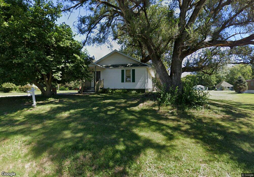
201 S State St Bryant, IL 61519
Estimated Value: $39,000 - $163,000
Studio
--
Bath
--
Sq Ft
0.35
Acres
About This Home
This home is located at 201 S State St, Bryant, IL 61519 and is currently estimated at $95,309. 201 S State St is a home with nearby schools including Central Elementary School, Lewistown Elementary School, and Lewistown Junior/Senior High School.
Ownership History
Date
Name
Owned For
Owner Type
Purchase Details
Closed on
May 20, 2024
Sold by
Rentsch Gayle
Bought by
Brown Bryan
Current Estimated Value
Purchase Details
Closed on
Dec 1, 2014
Sold by
Seward Edgar E and Seward Gertrude A
Bought by
Collins Dixie A
Purchase Details
Closed on
Jan 20, 2012
Sold by
Lingenfelterlyle Lingenfelterlyle and Lingenfelterlyle Darlene J
Bought by
Sewardedgar Sewardedgar E and Sewardedgar Gertrude A
Create a Home Valuation Report for This Property
The Home Valuation Report is an in-depth analysis detailing your home's value as well as a comparison with similar homes in the area
Purchase History
| Date | Buyer | Sale Price | Title Company |
|---|---|---|---|
| Brown Bryan | $85,000 | Attorney Only | |
| Collins Dixie A | $68,000 | Attorney Only | |
| Sewardedgar Sewardedgar E | $25,000 | -- |
Source: Public Records
Mortgage History
| Date | Status | Borrower | Loan Amount |
|---|---|---|---|
| Closed | Collins Dixie A | $27,955 |
Source: Public Records
Tax History
| Year | Tax Paid | Tax Assessment Tax Assessment Total Assessment is a certain percentage of the fair market value that is determined by local assessors to be the total taxable value of land and additions on the property. | Land | Improvement |
|---|---|---|---|---|
| 2024 | $1,131 | $24,580 | $990 | $23,590 |
| 2023 | $1,131 | $23,520 | $950 | $22,570 |
| 2022 | $639 | $23,520 | $950 | $22,570 |
| 2021 | $652 | $20,110 | $950 | $19,160 |
| 2020 | $666 | $19,440 | $920 | $18,520 |
| 2019 | $676 | $19,750 | $930 | $18,820 |
| 2018 | $658 | $19,370 | $910 | $18,460 |
| 2017 | $1,621 | $19,370 | $910 | $18,460 |
| 2016 | $665 | $18,710 | $880 | $17,830 |
| 2015 | $1,226 | $18,710 | $880 | $17,830 |
| 2013 | -- | $18,230 | $860 | $17,370 |
| 2012 | -- | $17,790 | $840 | $16,950 |
Source: Public Records
Map
Nearby Homes
- 16853 N Wright Rd
- 15972 N Ridge Rd
- 601 Grand Ave
- 601 Lincoln St
- 106 Lone Pine
- 14953 E Grain Bin Rd
- 20984 E New Bridge Rd
- 16279 E Cherokee Rd
- 23611 County Highway 22
- 18730 Illinois 97
- 15784 N Cheyenne Dr
- 1426 N Main St
- 1428 N Main St
- 16103 E Blackfoot Dr
- 21904 U S 24
- 202 N Robinson St
- 217 S 9th St
- 916 E Jackson St
- 222 E Patton Ave
- 15681 E Kenabeck Trail
Your Personal Tour Guide
Ask me questions while you tour the home.