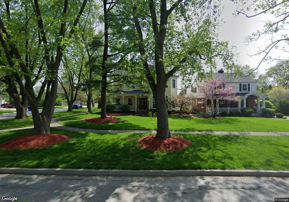
201 S Summit St Wheaton, IL 60187
Southeast Wheaton NeighborhoodEstimated Value: $921,000 - $1,301,000
--
Bed
1
Bath
3,021
Sq Ft
$352/Sq Ft
Est. Value
About This Home
This home is located at 201 S Summit St, Wheaton, IL 60187 and is currently estimated at $1,063,130, approximately $351 per square foot. 201 S Summit St is a home located in DuPage County with nearby schools including Lowell Elementary School, Franklin Middle School, and Alex M Martino Jr High School.
Ownership History
Date
Name
Owned For
Owner Type
Purchase Details
Closed on
May 19, 2022
Sold by
Calc Holdings Llc
Bought by
Praxmarer Patrick F and Praxmarer Bridget K
Current Estimated Value
Home Financials for this Owner
Home Financials are based on the most recent Mortgage that was taken out on this home.
Original Mortgage
$350,000
Outstanding Balance
$330,150
Interest Rate
4.5%
Mortgage Type
New Conventional
Estimated Equity
$732,980
Purchase Details
Closed on
Jan 30, 2008
Sold by
Stankoskey Daniel L and Stankoskey Jennifer S
Bought by
Stankoskey Daniel L and Stankoskey Jennifer S
Purchase Details
Closed on
Sep 14, 2001
Sold by
Lasalle Bank National Assn
Bought by
Stankoskey Daniel L and Stankoskey Jennifer S
Home Financials for this Owner
Home Financials are based on the most recent Mortgage that was taken out on this home.
Original Mortgage
$110,400
Interest Rate
7.06%
Create a Home Valuation Report for This Property
The Home Valuation Report is an in-depth analysis detailing your home's value as well as a comparison with similar homes in the area
Home Values in the Area
Average Home Value in this Area
Purchase History
| Date | Buyer | Sale Price | Title Company |
|---|---|---|---|
| Praxmarer Patrick F | $985,000 | Spring Law Llc | |
| Stankoskey Daniel L | -- | None Available | |
| Stankoskey Daniel L | $138,000 | Wheatland Title |
Source: Public Records
Mortgage History
| Date | Status | Borrower | Loan Amount |
|---|---|---|---|
| Open | Praxmarer Patrick F | $350,000 | |
| Previous Owner | Stankoskey Daniel L | $110,400 |
Source: Public Records
Tax History Compared to Growth
Tax History
| Year | Tax Paid | Tax Assessment Tax Assessment Total Assessment is a certain percentage of the fair market value that is determined by local assessors to be the total taxable value of land and additions on the property. | Land | Improvement |
|---|---|---|---|---|
| 2024 | $16,902 | $270,242 | $35,504 | $234,738 |
| 2023 | $16,270 | $248,750 | $32,680 | $216,070 |
| 2022 | $15,865 | $235,080 | $30,880 | $204,200 |
| 2021 | $15,819 | $229,510 | $30,150 | $199,360 |
| 2020 | $15,772 | $227,370 | $29,870 | $197,500 |
| 2019 | $15,419 | $221,370 | $29,080 | $192,290 |
| 2018 | $15,811 | $224,300 | $29,350 | $194,950 |
| 2017 | $15,588 | $216,030 | $28,270 | $187,760 |
| 2016 | $15,394 | $207,400 | $27,140 | $180,260 |
| 2015 | $15,291 | $197,860 | $25,890 | $171,970 |
| 2014 | $16,570 | $210,360 | $21,480 | $188,880 |
| 2013 | $16,142 | $210,990 | $21,540 | $189,450 |
Source: Public Records
Map
Nearby Homes
- 216 N Blanchard St
- 850 S Lorraine Rd Unit 1G
- 850 S Lorraine Rd Unit 3L
- 1623 Sawyer Ave
- 722 E Indiana St
- 1407 Wilson Ave
- 1106 E North Path
- 1316 Wilson Ave
- 1000 S Lorraine Rd Unit 412
- 1000 S Lorraine Rd Unit 315
- 1000 S Lorraine Rd Unit 214
- 719 N President St
- 1240 S Lorraine Rd Unit 2B
- 230 Duane St Unit 3A
- 388 Hill Ave
- 353 E Liberty Dr
- 408 E Evergreen St
- 512 Pershing Ave
- 1244 Loughborough Ct
- 315 E Union Ave
- 207 S Summit St
- 213 S Summit St
- 151 S Summit St
- 202 S Prospect St
- 217 S Summit St
- 206 S Prospect St
- 145 S Summit St
- 1424 E Liberty Dr
- 160 S Prospect St
- 210 S Prospect St
- 206 S Summit St
- 221 S Summit St
- 210 S Summit St
- 216 S Prospect St
- 141 S Summit St
- 1425 E Liberty Dr
- 148 S Prospect St
- 216 S Summit St
- 227 S Summit St
- 226 S Prospect St