Estimated Value: $239,000 - $344,000
3
Beds
2
Baths
--
Sq Ft
0.56
Acres
About This Home
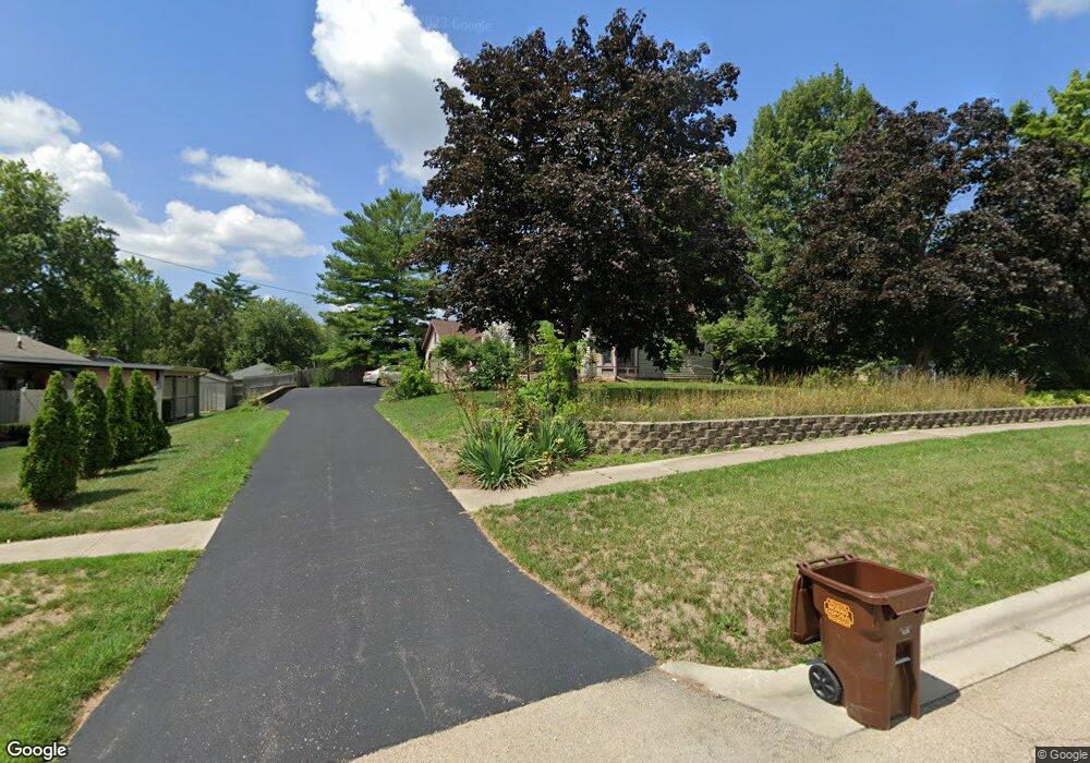
This home is located at 201 S Walnut St, Byron, IL 61010 and is currently estimated at $277,084. 201 S Walnut St is a home located in Ogle County with nearby schools including Mary Morgan Elementary School, Byron Middle School, and Byron High School.
Ownership History
Date
Name
Owned For
Owner Type
Purchase Details
Closed on
Jan 14, 2015
Sold by
Typer Nancy E and Typer Martin
Bought by
Dyn Office Investments Llc
Current Estimated Value
Purchase Details
Closed on
Dec 14, 2011
Sold by
Typer Martin and Hampton Teddy
Bought by
Wilson Jonathan G and Wilson Karyn E
Home Financials for this Owner
Home Financials are based on the most recent Mortgage that was taken out on this home.
Original Mortgage
$128,500
Interest Rate
3.56%
Mortgage Type
New Conventional
Create a Home Valuation Report for This Property
The Home Valuation Report is an in-depth analysis detailing your home's value as well as a comparison with similar homes in the area
Home Values in the Area
Average Home Value in this Area
Purchase History
| Date | Buyer | Sale Price | Title Company |
|---|---|---|---|
| Dyn Office Investments Llc | $3,000 | -- | |
| Wilson Jonathan G | $84,000 | -- |
Source: Public Records
Mortgage History
| Date | Status | Borrower | Loan Amount |
|---|---|---|---|
| Previous Owner | Wilson Jonathan G | $128,500 |
Source: Public Records
Tax History Compared to Growth
Tax History
| Year | Tax Paid | Tax Assessment Tax Assessment Total Assessment is a certain percentage of the fair market value that is determined by local assessors to be the total taxable value of land and additions on the property. | Land | Improvement |
|---|---|---|---|---|
| 2024 | $5,933 | $75,429 | $30,105 | $45,324 |
| 2023 | $5,540 | $71,708 | $28,620 | $43,088 |
| 2022 | $5,188 | $66,501 | $26,542 | $39,959 |
| 2021 | $5,092 | $63,662 | $25,409 | $38,253 |
| 2020 | $4,687 | $62,414 | $24,911 | $37,503 |
| 2019 | $4,687 | $60,450 | $24,127 | $36,323 |
| 2018 | $4,675 | $58,889 | $23,504 | $35,385 |
| 2017 | $4,626 | $58,889 | $23,504 | $35,385 |
| 2016 | $4,341 | $57,808 | $23,073 | $34,735 |
| 2015 | -- | $55,961 | $22,336 | $33,625 |
Source: Public Records
Map
Nearby Homes
- 211 S Lafayette St
- 311 E Front St
- 225 E 4th St
- 8890 Hales Corner Rd Rd
- 153 Perene Ave
- 628-630 Allison Cir
- 4842 E Il Route 72
- 309 Creekside Dr
- 265 Creekside Dr
- 247 Creekside Dr
- 3775 E Whippoorwill Ln
- 00 E Ashelford Dr
- 00 E Ashelford Dr Unit LOT 8
- 5054 E Nordic Woods Dr
- 8638 N Finch Ln
- 5178 E Ashelford Dr
- 1217 Joanne Terrace
- 1245 Glacier Dr
- 1257 Glacier Dr
- 8692 Glacier Dr
- 205 W Merchant St
- 119 S Washington St
- 212 W Blackhawk Dr
- 217 W Merchant St
- 227 W Merchant St
- 128 W Front St
- 128 W Front St Unit 8
- 128 W Front St Unit 5
- 212 W Merchant St
- 202 W Merchant St
- 120 W Front St
- 303 S Walnut St
- 228 W Merchant St
- 218 W Merchant St
- 112 W Front St
- 113 W Merchant St
- 301 W Merchant St
- 208 S Walnut St
- 206 S Washington St
- 215 S Washington St