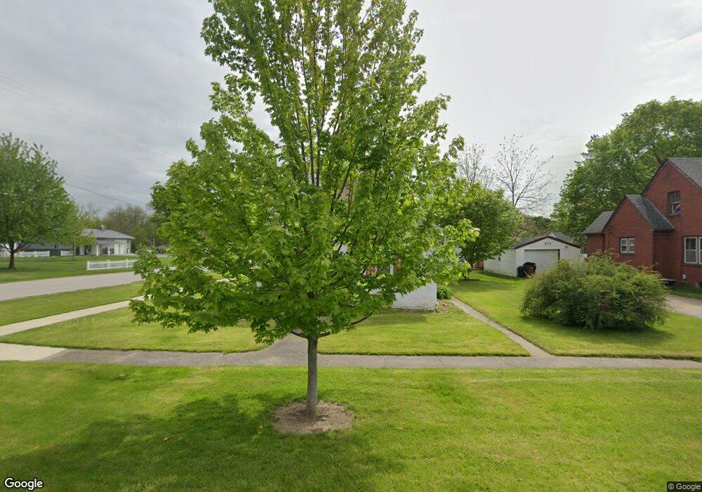
201 S Washington St Chesaning, MI 48616
Estimated Value: $148,321 - $158,000
3
Beds
1
Bath
1,622
Sq Ft
$93/Sq Ft
Est. Value
About This Home
This home is located at 201 S Washington St, Chesaning, MI 48616 and is currently estimated at $151,330, approximately $93 per square foot. 201 S Washington St is a home located in Saginaw County with nearby schools including Big Rock Elementary School, Chesaning Middle School, and Chesaning Union High School.
Ownership History
Date
Name
Owned For
Owner Type
Purchase Details
Closed on
Jul 6, 2016
Sold by
Leach Williams J and Leach Doreen F
Bought by
Williams Lonnie
Current Estimated Value
Purchase Details
Closed on
Apr 29, 2009
Sold by
Sec Of Veterans Affairs
Bought by
Leach Doreen F
Purchase Details
Closed on
Feb 13, 2007
Sold by
Wells Fargo Bank Na
Bought by
Dept Of Veterans Affairs 2929606636
Purchase Details
Closed on
Jan 19, 2007
Sold by
Saginaw County Deputy Sheriff
Bought by
Wells Fargo Bank Na
Purchase Details
Closed on
Dec 16, 1998
Bought by
Borders Jeffery I
Create a Home Valuation Report for This Property
The Home Valuation Report is an in-depth analysis detailing your home's value as well as a comparison with similar homes in the area
Home Values in the Area
Average Home Value in this Area
Purchase History
| Date | Buyer | Sale Price | Title Company |
|---|---|---|---|
| Williams Lonnie | $12,000 | -- | |
| Leach Doreen F | $12,000 | -- | |
| Dept Of Veterans Affairs 2929606636 | -- | -- | |
| Wells Fargo Bank Na | $52,900 | -- | |
| Borders Jeffery I | $76,500 | -- |
Source: Public Records
Tax History Compared to Growth
Tax History
| Year | Tax Paid | Tax Assessment Tax Assessment Total Assessment is a certain percentage of the fair market value that is determined by local assessors to be the total taxable value of land and additions on the property. | Land | Improvement |
|---|---|---|---|---|
| 2025 | $1,838 | $60,500 | $0 | $0 |
| 2024 | $1,065 | $51,400 | $0 | $0 |
| 2023 | $1,008 | $43,200 | $0 | $0 |
| 2022 | $1,696 | $37,400 | $0 | $0 |
| 2021 | $1,585 | $34,000 | $0 | $0 |
| 2020 | $1,557 | $32,400 | $0 | $0 |
| 2019 | $1,503 | $31,700 | $4,600 | $27,100 |
| 2018 | $935 | $30,700 | $0 | $0 |
| 2017 | $1,393 | $30,400 | $0 | $0 |
| 2016 | $2,370 | $29,900 | $0 | $0 |
| 2014 | -- | $27,100 | $0 | $0 |
| 2013 | -- | $27,100 | $0 | $0 |
Source: Public Records
Map
Nearby Homes
- 631 Center St
- 705 E Liberty St
- 119 Andres St
- 128 Pearl St
- 423 S Line St
- 201 Mason St
- 300 Brady St
- 317 S Clark St
- 202 S Clark St
- 1016 S Line St
- 600 Bentley St
- 829 Brady St
- 0 N 1st St
- 1017 N Line St
- 910 W Brady Rd
- V/L W Liberty St
- 0 N 4th St
- 887 N 4th St
- 0 Arrowhead 1-A Dr Unit 50184284
- 0 Arrowhead 1-A Dr Unit 50184274
- 213 S Washington St
- 518 Center St
- 131 S Washington St
- 215 S Washington St
- 202 S Washington St
- 212 S Main St
- 123 S Washington St
- 520 Center St
- 217 S Washington St
- 216 S Washington St
- 100 S Main St
- 216 S Main St
- 117 S Washington St
- 410 Center St
- 118 S Main St
- 230 S Washington St
- 118 S Washington St
- 228 S Main St
- 402 Center St
- 131 S Main St
