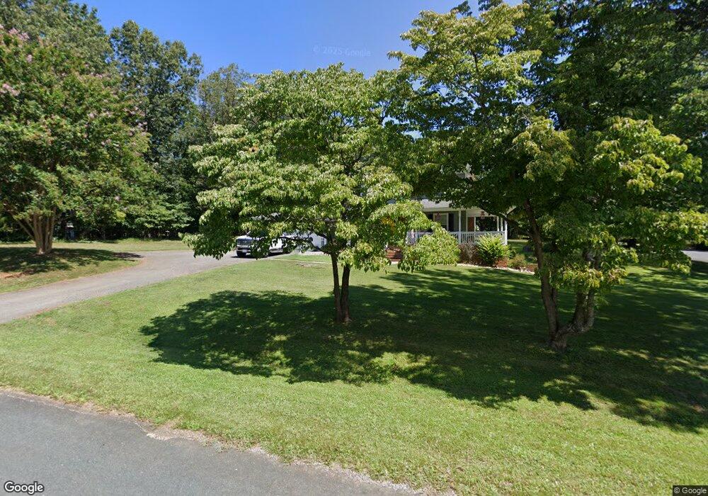
201 S Wood Duck Dr Madison Heights, VA 24572
Estimated Value: $278,000 - $364,000
3
Beds
4
Baths
2,079
Sq Ft
$152/Sq Ft
Est. Value
About This Home
This home is located at 201 S Wood Duck Dr, Madison Heights, VA 24572 and is currently estimated at $315,976, approximately $151 per square foot. 201 S Wood Duck Dr is a home located in Amherst County with nearby schools including Amelon Elementary School, Monelison Middle School, and Amherst County High School.
Ownership History
Date
Name
Owned For
Owner Type
Purchase Details
Closed on
Feb 12, 2009
Sold by
Holy Mary B and Harper Mary B
Bought by
Young Charles Kevin and Young Donna S
Current Estimated Value
Home Financials for this Owner
Home Financials are based on the most recent Mortgage that was taken out on this home.
Original Mortgage
$181,649
Outstanding Balance
$115,070
Interest Rate
5.14%
Mortgage Type
FHA
Estimated Equity
$200,906
Create a Home Valuation Report for This Property
The Home Valuation Report is an in-depth analysis detailing your home's value as well as a comparison with similar homes in the area
Home Values in the Area
Average Home Value in this Area
Purchase History
| Date | Buyer | Sale Price | Title Company |
|---|---|---|---|
| Young Charles Kevin | -- | None Available |
Source: Public Records
Mortgage History
| Date | Status | Borrower | Loan Amount |
|---|---|---|---|
| Open | Young Charles Kevin | $181,649 |
Source: Public Records
Tax History Compared to Growth
Tax History
| Year | Tax Paid | Tax Assessment Tax Assessment Total Assessment is a certain percentage of the fair market value that is determined by local assessors to be the total taxable value of land and additions on the property. | Land | Improvement |
|---|---|---|---|---|
| 2025 | $1,132 | $185,500 | $17,500 | $168,000 |
| 2024 | $1,132 | $185,500 | $17,500 | $168,000 |
| 2023 | $1,132 | $185,500 | $17,500 | $168,000 |
| 2022 | $1,132 | $185,500 | $17,500 | $168,000 |
| 2021 | $1,132 | $185,500 | $17,500 | $168,000 |
| 2020 | $1,132 | $185,500 | $17,500 | $168,000 |
| 2019 | $1,097 | $179,800 | $23,500 | $156,300 |
| 2018 | $1,097 | $179,800 | $23,500 | $156,300 |
| 2017 | $1,097 | $179,800 | $23,500 | $156,300 |
| 2016 | $1,097 | $179,800 | $23,500 | $156,300 |
| 2015 | $1,007 | $179,800 | $23,500 | $156,300 |
| 2014 | $1,007 | $179,800 | $23,500 | $156,300 |
Source: Public Records
Map
Nearby Homes
- 250 S Wood Duck Dr
- 571 Dixie Airport Rd
- 121 Crestwood Dr
- 150 Glenwood Dr
- 327 Dixie Airport Rd
- 0 Commonwealth Dr Unit 361760
- 272 Dixie Airport Rd
- 172 Stoney Creek Dr
- 1769 Izaak Walton Rd
- 0 Izaak Walton Rd
- 11 Stoney Creek Dr
- 10 Stoney Creek Dr
- 505 Royal Gardens Ct
- 164 Glade Rd
- 51 Patrick Ct
- 0 Lot 10 & 11 Stoney Creek Dr Unit 345183
- 255 Glade Rd
- 151 Stratford Place
- 1358 S Coolwell Rd
- 0 Monticello Ln
- 127 Forest Dr
- 196 S Wood Duck Dr
- 217 S Wood Duck Dr
- 184 S Wood Duck Dr
- 115 Robindale Cir
- 110 Robindale Cir
- 620 Possum Island Rd
- 214 S Wood Duck Dr
- 113 Robindale Cir
- 612 Possum Island Rd
- 112 Robindale Cir
- 241 S Wood Duck Dr
- 167 Woodhaven Ct
- 163 N Wood Duck Dr
- 157 Woodhaven Ct
- 173 Woodhaven Ct
- 140 Forest Dr
- 604 Possum Island Rd
- 212 Forest Dr
- 621 Possum Island Rd