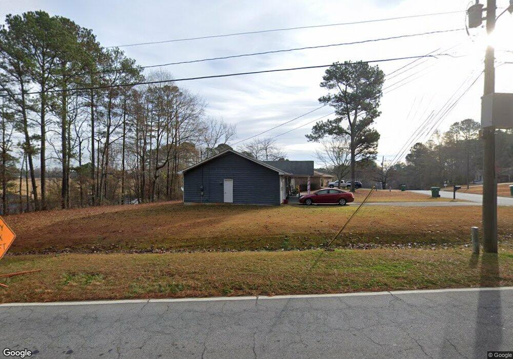
201 Sabal Dr Unit 2 Palmetto, GA 30268
Estimated Value: $215,000 - $227,000
3
Beds
2
Baths
1,320
Sq Ft
$165/Sq Ft
Est. Value
About This Home
This home is located at 201 Sabal Dr Unit 2, Palmetto, GA 30268 and is currently estimated at $218,289, approximately $165 per square foot. 201 Sabal Dr Unit 2 is a home located in Fulton County with nearby schools including Palmetto Elementary School, Bear Creek Middle School, and Creekside High School.
Ownership History
Date
Name
Owned For
Owner Type
Purchase Details
Closed on
Jan 27, 1999
Sold by
Parker William E
Bought by
Spear Ulysses
Current Estimated Value
Home Financials for this Owner
Home Financials are based on the most recent Mortgage that was taken out on this home.
Original Mortgage
$6,778
Interest Rate
6.8%
Mortgage Type
New Conventional
Purchase Details
Closed on
Jul 29, 1994
Sold by
Associates Relocation Mgmnt Co Inc
Bought by
Farmer Willie H
Home Financials for this Owner
Home Financials are based on the most recent Mortgage that was taken out on this home.
Original Mortgage
$63,548
Interest Rate
8.53%
Mortgage Type
FHA
Purchase Details
Closed on
Jun 4, 1994
Sold by
Beiriger Paul E Lisa M
Bought by
Assocaites Relocation Mgmnt Co Inc
Home Financials for this Owner
Home Financials are based on the most recent Mortgage that was taken out on this home.
Original Mortgage
$63,548
Interest Rate
8.53%
Mortgage Type
FHA
Create a Home Valuation Report for This Property
The Home Valuation Report is an in-depth analysis detailing your home's value as well as a comparison with similar homes in the area
Home Values in the Area
Average Home Value in this Area
Purchase History
| Date | Buyer | Sale Price | Title Company |
|---|---|---|---|
| Spear Ulysses | -- | -- | |
| Farmer Willie H | $64,900 | -- | |
| Assocaites Relocation Mgmnt Co Inc | $64,900 | -- |
Source: Public Records
Mortgage History
| Date | Status | Borrower | Loan Amount |
|---|---|---|---|
| Closed | Spear Ulysses | $6,778 | |
| Previous Owner | Farmer Willie H | $63,548 |
Source: Public Records
Tax History Compared to Growth
Tax History
| Year | Tax Paid | Tax Assessment Tax Assessment Total Assessment is a certain percentage of the fair market value that is determined by local assessors to be the total taxable value of land and additions on the property. | Land | Improvement |
|---|---|---|---|---|
| 2025 | $839 | $72,080 | $17,960 | $54,120 |
| 2023 | $839 | $77,120 | $29,920 | $47,200 |
| 2022 | $628 | $37,360 | $10,080 | $27,280 |
| 2021 | $607 | $35,440 | $7,680 | $27,760 |
| 2020 | $605 | $35,000 | $7,600 | $27,400 |
| 2019 | $589 | $34,400 | $7,480 | $26,920 |
| 2018 | $607 | $33,600 | $7,280 | $26,320 |
| 2017 | $554 | $30,920 | $6,880 | $24,040 |
| 2016 | $580 | $31,880 | $9,920 | $21,960 |
| 2015 | $582 | $31,880 | $9,920 | $21,960 |
| 2014 | $343 | $20,160 | $6,280 | $13,880 |
Source: Public Records
Map
Nearby Homes
- 212 Greensprings Ct Unit 2
- 207 Morris St
- 234 Fayetteville Rd
- 0 Phipps Rd Unit 10559280
- 0 Phipps Rd
- 0 Phipps Rd Unit 7611236
- 534 Locke St
- 594 Collinsworth Rd
- 10904 Serenbe Ln
- 211 Cobb St
- 205 Cobb St
- 8393 Columbia Ct
- 8387 Columbia Ct
- 8395 Columbia Ct Unit LOT 3
- 8381 Columbia Ct
- 8373 Columbia Ct
- 8393 Columbia Ct Unit LOT 4
- 8383 Columbia Ct Unit LOT 7
- 8373 Columbia Ct Unit LOT 11
- 8391 Columbia Ct
- 203 Sabal Dr Unit 2
- 219 Fond Ct
- 220 Fond Ct Unit 1
- 215 Sabal Dr
- 202 Sabal Dr Unit 2
- 217 Fond Ct
- 204 Sabal Dr
- 207 Sabal Dr
- 218 Fond Ct
- 206 Sabal Dr
- 215 Fond Ct
- 216 Fond Ct
- 209 Sabal Dr Unit 2
- 208 Sabal Dr
- 210 Sabal Dr
- 0 Phipp St Unit 7198151
- 0 Phipp St Unit 8076853
- 214 Fond Ct
- 211 Sabal Dr
- 213 Fond Ct