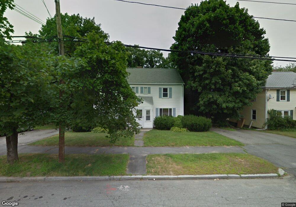
201 Saint Nicholas Ave Unit 2 Worcester, MA 01606
Burncoat NeighborhoodEstimated Value: $372,000 - $644,000
2
Beds
1
Bath
900
Sq Ft
$572/Sq Ft
Est. Value
About This Home
This home is located at 201 Saint Nicholas Ave Unit 2, Worcester, MA 01606 and is currently estimated at $514,562, approximately $571 per square foot. 201 Saint Nicholas Ave Unit 2 is a home located in Worcester County with nearby schools including Worcester Arts Magnet School, Jacob Hiatt Magnet School, and Chandler Magnet.
Ownership History
Date
Name
Owned For
Owner Type
Purchase Details
Closed on
Oct 29, 2020
Sold by
Pashoian Brian M and Pashoian Paula M
Bought by
Kassis Andre and Kassis Michel
Current Estimated Value
Create a Home Valuation Report for This Property
The Home Valuation Report is an in-depth analysis detailing your home's value as well as a comparison with similar homes in the area
Home Values in the Area
Average Home Value in this Area
Purchase History
| Date | Buyer | Sale Price | Title Company |
|---|---|---|---|
| Kassis Andre | $370,000 | None Available |
Source: Public Records
Tax History Compared to Growth
Tax History
| Year | Tax Paid | Tax Assessment Tax Assessment Total Assessment is a certain percentage of the fair market value that is determined by local assessors to be the total taxable value of land and additions on the property. | Land | Improvement |
|---|---|---|---|---|
| 2025 | $5,688 | $431,200 | $115,500 | $315,700 |
| 2024 | $5,547 | $403,400 | $115,500 | $287,900 |
| 2023 | $5,038 | $351,300 | $100,400 | $250,900 |
| 2022 | $5,038 | $331,200 | $80,300 | $250,900 |
| 2021 | $3,762 | $231,100 | $64,200 | $166,900 |
| 2020 | $3,312 | $194,800 | $64,200 | $130,600 |
| 2019 | $3,285 | $182,500 | $57,800 | $124,700 |
| 2018 | $3,385 | $179,000 | $57,800 | $121,200 |
| 2017 | $3,404 | $177,100 | $57,800 | $119,300 |
| 2016 | $3,228 | $156,600 | $42,300 | $114,300 |
| 2015 | $3,143 | $156,600 | $42,300 | $114,300 |
| 2014 | $3,060 | $156,600 | $42,300 | $114,300 |
Source: Public Records
Map
Nearby Homes
- 13 Fatima Ln
- 95 Saint Nicholas Ave
- 276 Saint Nicholas Ave
- 2 Maria Ln Unit 2
- 304 Saint Nicholas Ave
- 31 Enaya Cir Unit 31
- 2206 Halcyon Dr Unit 2206
- 15 Inwood Rd
- 113 Bay State Rd
- 120 Bay State Rd
- 8 Cherry Blossom Cir Unit 50
- 3 Granville Ave
- 18 Claffey Ave
- 23 Viele Ave
- 134 Whitmarsh Ave
- 25 White Ave
- 40 Francis St
- 22 Huron Ave
- 3 Huron Ave
- 15 Wayside Rd
- 201 Saint Nicholas Ave
- 199 Saint Nicholas Ave Unit 1-2
- 199 Saint Nicholas Ave Unit 1
- 199 Saint Nicholas Ave
- 197 Saint Nicholas Ave
- 197 Saint Nicholas Ave Unit 197
- 203 Saint Nicholas Ave Unit 1
- 203 Saint Nicholas Ave
- 203-205 St Nicholas Ave
- 195 Saint Nicholas Ave
- 189 Saint Nicholas Ave
- 207 Saint Nicholas Ave
- 191 Saint Nicholas Ave Unit 191
- 191 Saint Nicholas Ave
- 200 Saint Nicholas Ave Unit 2
- 200 Saint Nicholas Ave
- 202 Saint Nicholas Ave
- 204 Saint Nicholas Ave
- 196 Saint Nicholas Ave
- 196 Saint Nicholas Ave