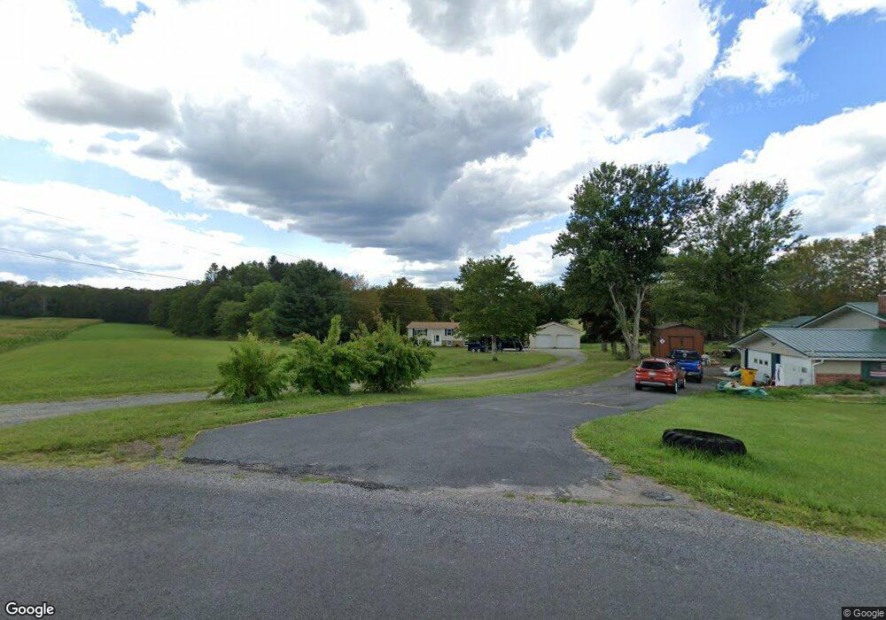
201 Samuels Rd Somerset, PA 15501
Estimated Value: $204,460 - $277,000
3
Beds
2
Baths
1,152
Sq Ft
$200/Sq Ft
Est. Value
About This Home
This home is located at 201 Samuels Rd, Somerset, PA 15501 and is currently estimated at $230,365, approximately $199 per square foot. 201 Samuels Rd is a home with nearby schools including Maple Ridge Elementary School, Eagle View Elementary School, and Somerset Area Junior/Senior High School.
Ownership History
Date
Name
Owned For
Owner Type
Purchase Details
Closed on
Jul 16, 2018
Sold by
Hay Scott Norman and Hay Donna Jane Miller
Bought by
Yoder Craig E and Yoder Devani N
Current Estimated Value
Home Financials for this Owner
Home Financials are based on the most recent Mortgage that was taken out on this home.
Original Mortgage
$111,625
Outstanding Balance
$96,740
Interest Rate
4.5%
Mortgage Type
New Conventional
Estimated Equity
$133,625
Create a Home Valuation Report for This Property
The Home Valuation Report is an in-depth analysis detailing your home's value as well as a comparison with similar homes in the area
Home Values in the Area
Average Home Value in this Area
Purchase History
| Date | Buyer | Sale Price | Title Company |
|---|---|---|---|
| Yoder Craig E | $117,500 | None Available |
Source: Public Records
Mortgage History
| Date | Status | Borrower | Loan Amount |
|---|---|---|---|
| Open | Yoder Craig E | $111,625 |
Source: Public Records
Tax History Compared to Growth
Tax History
| Year | Tax Paid | Tax Assessment Tax Assessment Total Assessment is a certain percentage of the fair market value that is determined by local assessors to be the total taxable value of land and additions on the property. | Land | Improvement |
|---|---|---|---|---|
| 2025 | $2,537 | $41,070 | $0 | $0 |
| 2024 | $2,537 | $41,070 | $0 | $0 |
| 2023 | $2,465 | $41,070 | $0 | $0 |
| 2022 | $2,391 | $41,070 | $0 | $0 |
| 2021 | $2,327 | $41,070 | $0 | $0 |
| 2020 | $2,327 | $41,070 | $0 | $0 |
| 2019 | $2,327 | $41,070 | $0 | $0 |
| 2018 | $2,327 | $41,070 | $7,980 | $33,090 |
| 2017 | $2,327 | $41,070 | $7,980 | $33,090 |
| 2016 | -- | $41,070 | $7,980 | $33,090 |
| 2015 | -- | $41,070 | $7,980 | $33,090 |
| 2014 | -- | $41,070 | $7,980 | $33,090 |
Source: Public Records
Map
Nearby Homes
- 3771 Glades Pike
- 3781 Glades Pike
- 0 Geiger Rd Unit 1726152
- 200 Zorn Dr
- 426 Antram Rd
- 0 Beacon St Unit 1684507
- 292 Golden Ridge Dr
- 1275 Greenhill Ln
- 870 Deer Path Ln
- Lot 2 Overlook Dr
- 0 Overlook Dr Unit 2 96025858
- 949 Smith St
- 352 Indigo Ln
- 878 Tayman Ave
- 120 Alex Ln
- 840 Lansberry Ct
- 629 Clover Hill Rd
- 0 Trent Rd Unit 1719871
- 678 W Main St
- 549 W Race St
- 197 Samuels Rd
- 262 Samuels Rd
- 300 Samuels Rd
- 259 Lavansville Rd
- 263 Lavansville Rd
- 269 Lavansville Rd
- 279 Lavansville Rd
- 851 Sportsmans Rd
- 287 Lavansville Rd
- 223 Lavansville Rd
- 295 Lavansville Rd
- 256 Lavansville Rd
- 301 Lavansville Rd
- 270 Lavansville Rd
- 274 Lavansville Rd
- 280 Lavansville Rd
- 211 Lavansville Rd
- 215 Lavansville Rd
- 240 Lavansville Rd
- 246 Lavansville Rd