201 Sand Run Rd Weston, WV 26452
Estimated payment $970/month
Highlights
- Medical Services
- Canyon View
- No HOA
- 1.1 Acre Lot
- Deck
- Community Pool
About This Home
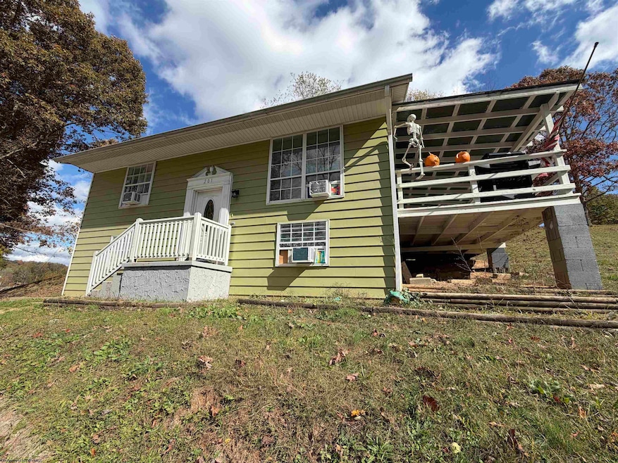
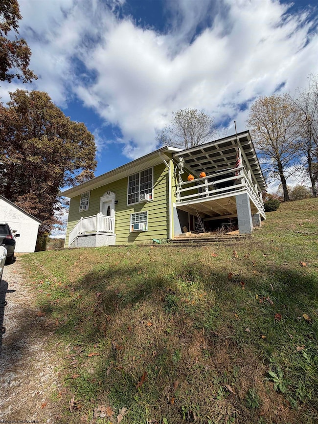
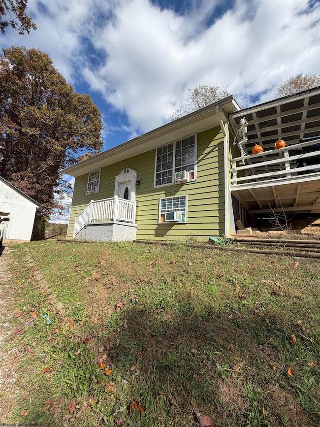
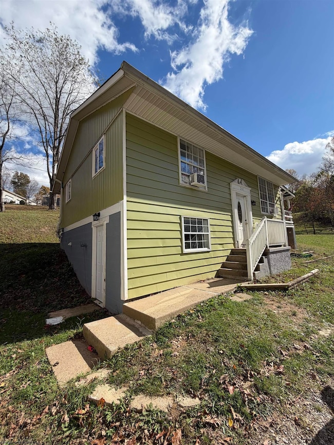
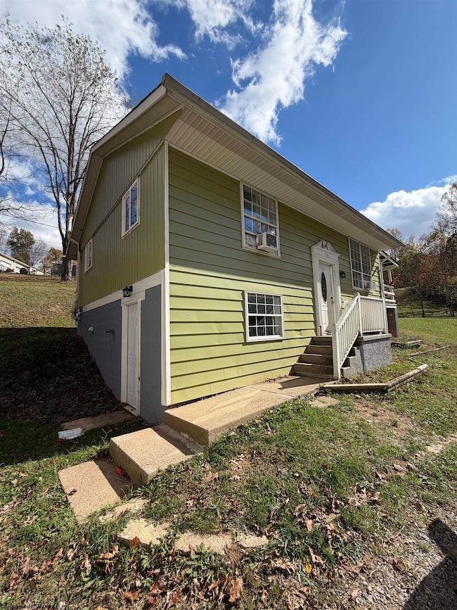
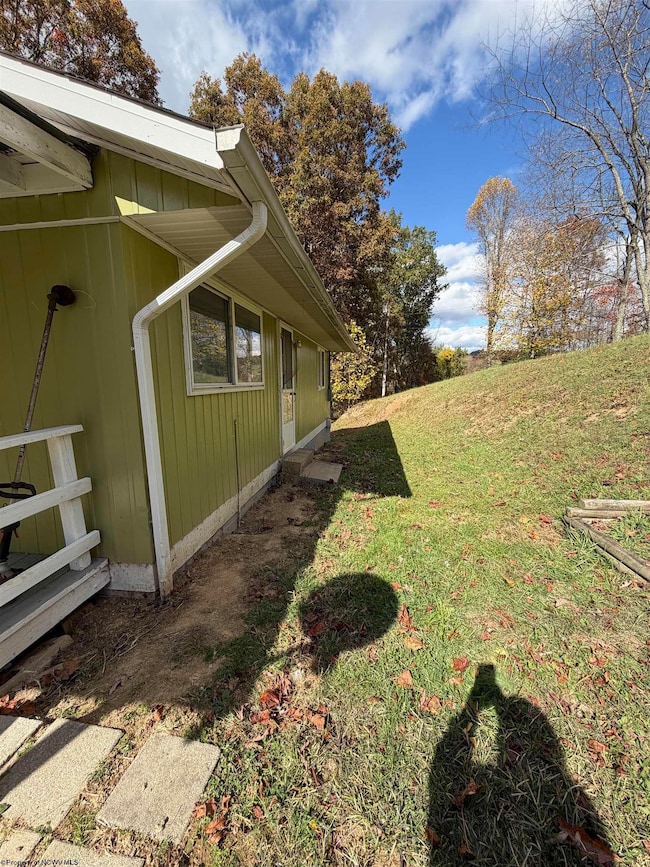
Nestled on just over an acre, this spacious 4-bedroom, 2-bath home offers the perfect blend of privacy and convenience. Enjoy the peaceful setting while still being close to town, schools, and major roadways. The home features a functional floor plan with ample living space, a bright kitchen with plenty of storage, and comfortable bedrooms. The large yard provides room to garden, play, or simply relax and take in the beautiful surroundings.
Home Details
Home Type
- Single Family
Est. Annual Taxes
- $1,198
Year Built
- Built in 1978
Lot Details
- 1.1 Acre Lot
- Sloped Lot
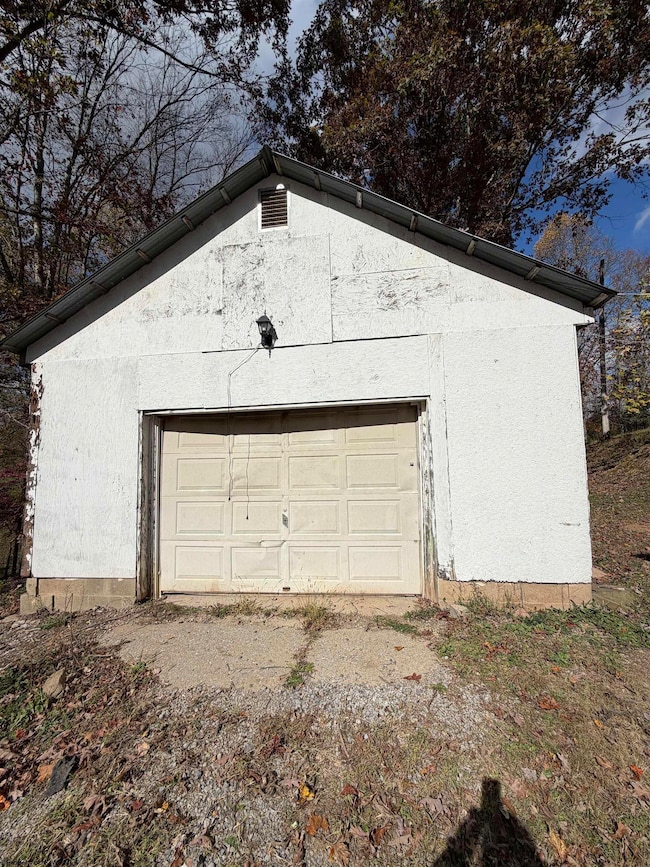
Parking
- 1 Car Detached Garage
Home Design
- Split Level Home
- Block Foundation
- Frame Construction
- Shingle Roof
- Aluminum Siding
Interior Spaces
- 2-Story Property
- Ceiling Fan
- Canyon Views
- Partially Finished Basement
- Basement Fills Entire Space Under The House
- Scuttle Attic Hole
- Range
- Washer and Electric Dryer Hookup
Flooring
- Laminate
- Concrete
Bedrooms and Bathrooms
- 4 Bedrooms
- 1 Full Bathroom
Outdoor Features
- Deck
Schools
- Peterson Central Elementary School
- Robert L. Bland Middle School
- Lewis County High School
Utilities
- Window Unit Cooling System
- Baseboard Heating
- 200+ Amp Service
- Electric Water Heater
Listing and Financial Details
- Assessor Parcel Number 0027.1
Community Details
Recreation
- Community Playground
- Community Pool
- Park
Additional Features
- No Home Owners Association
- Medical Services
Map
Home Values in the Area
Average Home Value in this Area
Tax History
| Year | Tax Paid | Tax Assessment Tax Assessment Total Assessment is a certain percentage of the fair market value that is determined by local assessors to be the total taxable value of land and additions on the property. | Land | Improvement |
|---|---|---|---|---|
| 2024 | $1,189 | $61,500 | $26,580 | $34,920 |
| 2023 | $1,058 | $59,700 | $25,680 | $34,020 |
| 2022 | $1,047 | $59,100 | $25,320 | $33,780 |
| 2021 | $1,032 | $58,260 | $25,320 | $32,940 |
| 2020 | $1,023 | $57,780 | $25,020 | $32,760 |
| 2019 | $1,006 | $56,820 | $24,780 | $32,040 |
| 2018 | $999 | $56,400 | $24,780 | $31,620 |
| 2017 | $480 | $55,140 | $24,780 | $30,360 |
| 2016 | $509 | $55,380 | $25,140 | $30,240 |
| 2015 | $486 | $52,920 | $23,160 | $29,760 |
| 2014 | -- | $53,640 | $23,880 | $29,760 |
Property History
| Date | Event | Price | List to Sale | Price per Sq Ft |
|---|---|---|---|---|
| 10/26/2025 10/26/25 | For Sale | $165,000 | -- | $143 / Sq Ft |
Purchase History
| Date | Type | Sale Price | Title Company |
|---|---|---|---|
| Deed | -- | None Available | |
| Deed | $82,000 | -- | |
| Warranty Deed | -- | -- |
Source: North Central West Virginia REIN
MLS Number: 10162169
APN: 21-03- 6F-0027.0001
Disclaimer: Certain information contained herein is derived from information provided by parties other than Homes.com. All information provided is deemed reliable, but is not guaranteed to be accurate and should be independently verified.
![]() Data provided by North Central WV Real Estate Information Network, Inc.
Data provided by North Central WV Real Estate Information Network, Inc.
IDX information is provided exclusively for consumers’ personal non-commercial use and may not be used for any purpose other than to identify prospective properties consumers may be interested in purchasing.
- 18145 S Route 19 Hwy
- 621 Clarksburg Rd
- 100 Nelson Howard Ln
- 42 1/2 Meade St
- 133 Camden Ave
- 119 Mudlick Run Rd
- 8193 Cost Ave
- 417 Indiana Ave
- 620 W Pike St
- 437 Smithfield St
- 700 Lodgeville Rd
- 1011 Woodland Dr
- 119 Hill St
- 50 Dover Ct
- 33 Millbrook Rd
- 117 Sassafras Way
- 3618 Shinnston Pike
- 539 E Main St
- 70 Dover Ct Unit 70 Dover Court
- 50 Stone Ln
