201 Shady Maple Ln Kunkletown, PA 18058
Estimated Value: $242,000 - $301,000
3
Beds
2
Baths
1,344
Sq Ft
$200/Sq Ft
Est. Value
About This Home
This home is located at 201 Shady Maple Ln, Kunkletown, PA 18058 and is currently estimated at $268,648, approximately $199 per square foot. 201 Shady Maple Ln is a home located in Monroe County with nearby schools including Pleasant Valley Intermediate School, Pleasant Valley Elementary School, and Pleasant Valley Middle School.
Ownership History
Date
Name
Owned For
Owner Type
Purchase Details
Closed on
Jan 7, 2022
Sold by
Serfass Harold A
Bought by
Mccabe Nichole A and Mccabe Jean R
Current Estimated Value
Home Financials for this Owner
Home Financials are based on the most recent Mortgage that was taken out on this home.
Original Mortgage
$209,600
Outstanding Balance
$193,198
Interest Rate
3.12%
Mortgage Type
New Conventional
Estimated Equity
$75,450
Purchase Details
Closed on
Aug 30, 2000
Bought by
Serfass Harold A
Create a Home Valuation Report for This Property
The Home Valuation Report is an in-depth analysis detailing your home's value as well as a comparison with similar homes in the area
Home Values in the Area
Average Home Value in this Area
Purchase History
| Date | Buyer | Sale Price | Title Company |
|---|---|---|---|
| Mccabe Nichole A | $262,000 | Liberty Abstract Company | |
| Serfass Harold A | -- | -- |
Source: Public Records
Mortgage History
| Date | Status | Borrower | Loan Amount |
|---|---|---|---|
| Open | Mccabe Nichole A | $209,600 |
Source: Public Records
Tax History Compared to Growth
Tax History
| Year | Tax Paid | Tax Assessment Tax Assessment Total Assessment is a certain percentage of the fair market value that is determined by local assessors to be the total taxable value of land and additions on the property. | Land | Improvement |
|---|---|---|---|---|
| 2025 | $1,078 | $140,410 | $24,960 | $115,450 |
| 2024 | $867 | $140,410 | $24,960 | $115,450 |
| 2023 | $4,221 | $140,410 | $24,960 | $115,450 |
| 2022 | $4,070 | $140,410 | $24,960 | $115,450 |
| 2021 | $3,982 | $140,410 | $24,960 | $115,450 |
| 2020 | $727 | $140,410 | $24,960 | $115,450 |
| 2019 | $2,340 | $12,960 | $2,110 | $10,850 |
| 2018 | $2,314 | $12,960 | $2,110 | $10,850 |
| 2017 | $2,314 | $12,960 | $2,110 | $10,850 |
| 2016 | $399 | $12,960 | $2,110 | $10,850 |
| 2015 | -- | $12,960 | $2,110 | $10,850 |
| 2014 | -- | $12,960 | $2,110 | $10,850 |
Source: Public Records
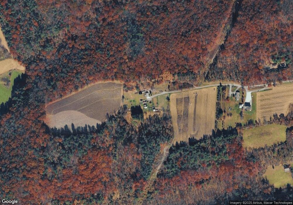
Map
Nearby Homes
- 131 Lobach Ln
- 1182 Quail Rd
- Lot 38 Woodview Hills
- 142 Pine Grove Rd
- 295 Railbed Trail
- 120 Upper Greenhill Rd
- CO Line Forest Dr
- 5138 Walnut St
- Lot 32 Greenview Ct
- 2650 57 Rd
- 969 Hideaway Hill Rd
- 150 Red Oak Dr
- 209 Floyd Dr
- 5990 Little Gap Rd
- 0 Sr 209 Unit PM-130225
- 160 Grassy Rd
- 157 Viewtop Rd
- 1101 Red Fox Ct Unit Ct 9
- Lot E 25 Pleasant View Dr
- 0 T425
- 201 Shady Maple Ln
- 175 Shady Maple Ln
- 160 Shady Maple Ln
- 105 Lobach Ln
- 257 Borger Rd
- 117 Lobach Ln
- 392 Silver Spring Blvd
- 125 Sharpton Smith Dr
- 138 Borger Rd
- 120 Lobach Ln
- 378 Silver Spring Blvd
- Lot1 Silver Springs Blvd
- 374 Silver Spring Blvd
- 368 Silver Spring Blvd
- 112 Bowhunter Ln
- 364 Silver Spring Blvd
- 364 Silver Spring Blvd
- 364 Silver Spring Blvd
- 356 Silver Spring Blvd
- 122 Little Mauch Chunk Cir