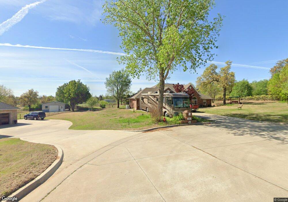
201 Shelby Ln Oklahoma City, OK 73130
Estimated Value: $370,287 - $427,000
4
Beds
3
Baths
2,598
Sq Ft
$157/Sq Ft
Est. Value
About This Home
This home is located at 201 Shelby Ln, Oklahoma City, OK 73130 and is currently estimated at $409,072, approximately $157 per square foot. 201 Shelby Ln is a home located in Oklahoma County with nearby schools including Carl Albert Middle School, Carl Albert High School, and Insight School of Oklahoma High School.
Ownership History
Date
Name
Owned For
Owner Type
Purchase Details
Closed on
Jan 12, 2024
Sold by
Fogle Milo V and Fogle Jennifer B
Bought by
Fogle Family Trust and Fogle
Current Estimated Value
Purchase Details
Closed on
Jul 12, 2001
Sold by
Fath Jeffrey L and Fath Bridget I
Bought by
Fogle Milo V and Fogle Jennifer B
Purchase Details
Closed on
Aug 26, 1998
Sold by
Day Dwight W and Day Barbara S
Bought by
Fath Jeffrey L and Fath Bridget I
Create a Home Valuation Report for This Property
The Home Valuation Report is an in-depth analysis detailing your home's value as well as a comparison with similar homes in the area
Home Values in the Area
Average Home Value in this Area
Purchase History
| Date | Buyer | Sale Price | Title Company |
|---|---|---|---|
| Fogle Family Trust | -- | None Listed On Document | |
| Fogle Milo V | $194,000 | Stewart Escrow & Title | |
| Fath Jeffrey L | $183,500 | -- |
Source: Public Records
Tax History Compared to Growth
Tax History
| Year | Tax Paid | Tax Assessment Tax Assessment Total Assessment is a certain percentage of the fair market value that is determined by local assessors to be the total taxable value of land and additions on the property. | Land | Improvement |
|---|---|---|---|---|
| 2024 | -- | $36,445 | $4,400 | $32,045 |
| 2023 | $0 | $35,383 | $3,157 | $32,226 |
| 2022 | -- | $34,353 | $3,395 | $30,958 |
| 2021 | $0 | $33,352 | $3,759 | $29,593 |
| 2020 | $3,852 | $32,381 | $3,716 | $28,665 |
| 2019 | $3,576 | $31,438 | $1,688 | $29,750 |
| 2018 | $3,254 | $30,523 | $0 | $0 |
| 2017 | $3,205 | $29,633 | $1,541 | $28,092 |
| 2016 | $3,195 | $28,770 | $1,545 | $27,225 |
| 2015 | $3,227 | $27,932 | $1,658 | $26,274 |
| 2014 | $3,126 | $27,118 | $1,678 | $25,440 |
Source: Public Records
Map
Nearby Homes
- 10236 Bellmont Ave
- 313 Remington Ave
- 10305 Saint Patrick Dr
- 000 Tbd Bellview Dr
- 10107 Saint Patrick Dr
- 10505 Willow Ridge Dr
- 9909 Fox Fair Hollow
- 129 Oak Tree Dr
- 11101 E Reno Ave
- 203 Oak Tree Ln
- 10813 SE 9th St
- 1104 Victor Ct
- 10800 SE 9th St
- 528 N White Oak Ave
- 11030 Madison Ave
- 104 Stone Creek Rd
- 1501 S Avery Ave
- 9816 NE 5th St
- 10820 Ohara Ln
- 10915 Blue Sky Dr
- 200 Shelby Ln
- 101 Shelby Ln
- 100 Shelby Ln
- 10312 E Reno Ave
- 400 S Lawson Ave
- 10341 Bellmont Ave
- 10300 E Reno Ave
- 10408 E Reno Ave
- 10345 Bellmont Ave
- 10220 E Reno Ave
- 10325 Bellmont Ave
- 10309 Bellmont Ave
- 10313 Bellmont Ave
- 208 Magnolia Ridge
- 501 S Marion Ave
- 216 Magnolia Ridge
- 216 Magnolia Ridge
- 500 S Marion Ave
- 200 Magnolia Ridge