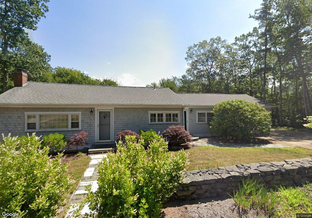
201 Shore Rd Cape Neddick, ME 03902
Ogunquit NeighborhoodEstimated Value: $787,000 - $1,055,000
3
Beds
2
Baths
1,416
Sq Ft
$676/Sq Ft
Est. Value
About This Home
This home is located at 201 Shore Rd, Cape Neddick, ME 03902 and is currently estimated at $957,155, approximately $675 per square foot. 201 Shore Rd is a home located in York County with nearby schools including Coastal Ridge Elementary School, Village Elementary School, and York Middle School.
Ownership History
Date
Name
Owned For
Owner Type
Purchase Details
Closed on
May 19, 2009
Sold by
Susan J Heckaman Ret
Bought by
Heckaman Susanne J
Current Estimated Value
Home Financials for this Owner
Home Financials are based on the most recent Mortgage that was taken out on this home.
Original Mortgage
$100,000
Interest Rate
4.85%
Mortgage Type
Unknown
Create a Home Valuation Report for This Property
The Home Valuation Report is an in-depth analysis detailing your home's value as well as a comparison with similar homes in the area
Home Values in the Area
Average Home Value in this Area
Purchase History
| Date | Buyer | Sale Price | Title Company |
|---|---|---|---|
| Heckaman Susanne J | -- | -- |
Source: Public Records
Mortgage History
| Date | Status | Borrower | Loan Amount |
|---|---|---|---|
| Closed | Heckaman Susanne J | $100,000 |
Source: Public Records
Tax History Compared to Growth
Tax History
| Year | Tax Paid | Tax Assessment Tax Assessment Total Assessment is a certain percentage of the fair market value that is determined by local assessors to be the total taxable value of land and additions on the property. | Land | Improvement |
|---|---|---|---|---|
| 2024 | $7,733 | $920,600 | $638,300 | $282,300 |
| 2023 | $6,580 | $778,700 | $496,400 | $282,300 |
| 2022 | $5,835 | $682,400 | $418,200 | $264,200 |
| 2021 | $6,188 | $646,900 | $425,500 | $221,400 |
| 2020 | $4,496 | $430,000 | $256,300 | $173,700 |
| 2019 | $4,777 | $428,400 | $256,300 | $172,100 |
| 2018 | $1,135 | $416,000 | $245,600 | $170,400 |
| 2017 | $4,578 | $418,100 | $251,000 | $167,100 |
| 2016 | $4,734 | $424,600 | $251,000 | $173,600 |
| 2015 | $4,496 | $408,700 | $240,300 | $168,400 |
| 2014 | $4,373 | $408,700 | $240,300 | $168,400 |
| 2013 | $4,263 | $408,700 | $240,300 | $168,400 |
Source: Public Records
Map
Nearby Homes
- 37 Pine Mountain Rd
- 6 Passaic Rd
- 10 Pine Mountain Rd
- 11 Ossipee Rd
- 147 River Rd
- 10 and 14 Blue Heron Cove
- 4 Hamlin Place
- 109 Pine Hill Rd
- 16 Passaic Rd
- 119 Pine Hill Rd
- 55 Simpson Hill Rd
- 1376 Us Route 1
- 1 Cassidy Way
- Lot # B Newport Ave
- 7 Cappy's Ln
- 20 Turner Dr
- 39 Main St
- 2 Beach St Unit 16
- 141 Logging Rd
- 57 Ocean Avenue Extension Unit B
- 200 Shore Rd
- 206 Shore Rd
- 211 Shore Rd
- 194 Shore Rd
- 188 Shore Rd
- 212 Shore Rd
- 64 Pine Mountain Rd
- 221 Shore Rd
- 68 Pine Mountain Rd
- 11 Meadow Rd
- 176 Shore Rd
- 65 Pine Mountain Rd
- 67 Pine Mountain Rd
- 60 Pine Mountain Rd
- 14 Drifting Gull Ln
- 22 Passaic Rd
- 20 Passaic Rd
- 9 Park Cir
- 13 Park Cir
- 15 Meadow Rd