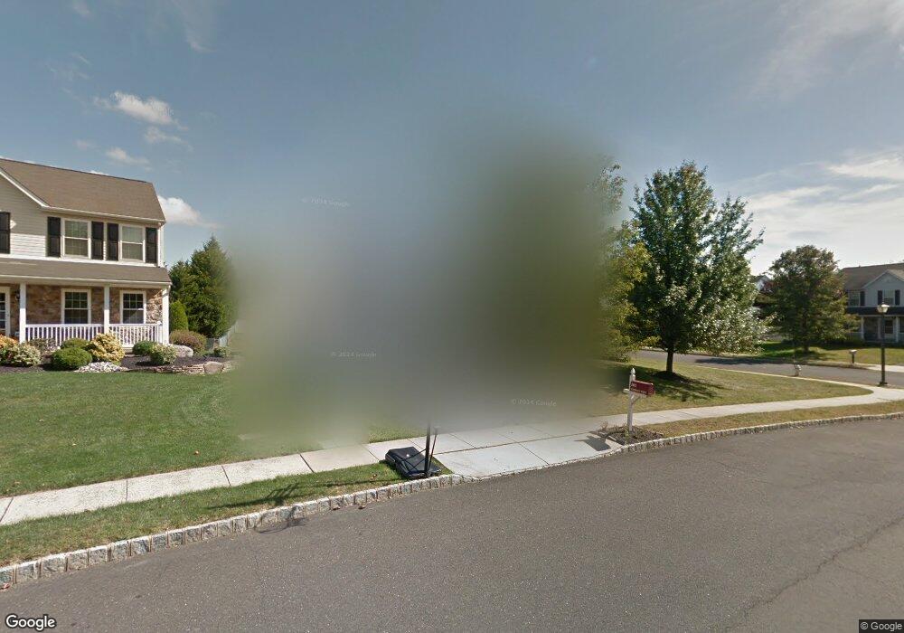
201 Snapdragon St Warrington, PA 18976
Estimated Value: $737,746 - $771,000
4
Beds
3
Baths
2,184
Sq Ft
$347/Sq Ft
Est. Value
About This Home
This home is located at 201 Snapdragon St, Warrington, PA 18976 and is currently estimated at $758,437, approximately $347 per square foot. 201 Snapdragon St is a home located in Bucks County with nearby schools including Mill Creek Elementary School, Unami Middle School, and Central Bucks High School - South.
Ownership History
Date
Name
Owned For
Owner Type
Purchase Details
Closed on
Nov 5, 2007
Sold by
Waterbury William F and Waterbury Lisa A
Bought by
Waterbury William F and Waterbury Lisa A
Current Estimated Value
Purchase Details
Closed on
Jun 17, 1999
Sold by
Lower State Lp
Bought by
Kaiser Glenn R and Kaiser Deanna M
Home Financials for this Owner
Home Financials are based on the most recent Mortgage that was taken out on this home.
Original Mortgage
$173,200
Interest Rate
7.54%
Create a Home Valuation Report for This Property
The Home Valuation Report is an in-depth analysis detailing your home's value as well as a comparison with similar homes in the area
Home Values in the Area
Average Home Value in this Area
Purchase History
| Date | Buyer | Sale Price | Title Company |
|---|---|---|---|
| Waterbury William F | -- | None Available | |
| Kaiser Glenn R | $216,520 | -- |
Source: Public Records
Mortgage History
| Date | Status | Borrower | Loan Amount |
|---|---|---|---|
| Previous Owner | Kaiser Glenn R | $173,200 |
Source: Public Records
Tax History Compared to Growth
Tax History
| Year | Tax Paid | Tax Assessment Tax Assessment Total Assessment is a certain percentage of the fair market value that is determined by local assessors to be the total taxable value of land and additions on the property. | Land | Improvement |
|---|---|---|---|---|
| 2025 | $7,347 | $39,800 | $7,680 | $32,120 |
| 2024 | $7,347 | $39,800 | $7,680 | $32,120 |
| 2023 | $6,802 | $39,800 | $7,680 | $32,120 |
| 2022 | $6,668 | $39,800 | $7,680 | $32,120 |
| 2021 | $6,594 | $39,800 | $7,680 | $32,120 |
| 2020 | $6,594 | $39,800 | $7,680 | $32,120 |
| 2019 | $6,554 | $39,800 | $7,680 | $32,120 |
| 2018 | $6,481 | $39,800 | $7,680 | $32,120 |
| 2017 | $6,393 | $39,800 | $7,680 | $32,120 |
| 2016 | $6,374 | $39,800 | $7,680 | $32,120 |
| 2015 | -- | $39,800 | $7,680 | $32,120 |
| 2014 | -- | $39,800 | $7,680 | $32,120 |
Source: Public Records
Map
Nearby Homes
- 3237 Pickertown Rd
- 406 Primrose Place
- 803 Sweet Cherry St
- 3302 Applewood Ct
- 418 Homestead Cir
- 3174 Wier Dr E Unit E
- 3146 Wier Dr E Unit E
- 430 Homestead Cir
- 3220 Wier Dr W Unit W
- 719 S Settlers Cir
- 623 Addison Way
- 3159 Bristol Rd
- 506 McNaney Farm Dr Lot # 27
- 511 McNaney Farm Dr Lot #6
- 503
- 500
- 508 Fullerton Farm Court Lot#21
- 506 Fullerton Farm Court Lot #22
- 528 Fullerton Farm Ct
- 73 Tradesville Dr Unit 80
- 203 Snapdragon St
- 202 Snapdragon St
- 112 Buttercup Blvd
- 304 Aster Way
- 205 Snapdragon St
- 109 Buttercup Blvd
- 111 Buttercup Blvd
- 306 Aster Way
- 204 Snapdragon St
- 113 Buttercup Blvd
- 302 Aster Way
- 207 Snapdragon St
- 107 Buttercup Blvd
- 308 Aster Way
- 206 Snapdragon St
- 106 Buttercup Blvd
- 301 Aster Way
- 3201 Pickertown Rd
- 209 Snapdragon St
- 305 Aster Way