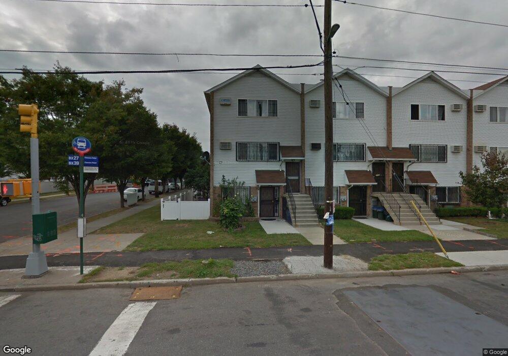
201 Soundview Ave Bronx, NY 10473
Clason Point NeighborhoodEstimated Value: $662,837 - $884,000
--
Bed
--
Bath
2,420
Sq Ft
$323/Sq Ft
Est. Value
About This Home
This home is located at 201 Soundview Ave, Bronx, NY 10473 and is currently estimated at $781,209, approximately $322 per square foot. 201 Soundview Ave is a home located in Bronx County with nearby schools including P.S. 069 Journey Prep School - X069 and Holy Cross Elementary School.
Ownership History
Date
Name
Owned For
Owner Type
Purchase Details
Closed on
Aug 12, 2011
Sold by
Tello Nube
Bought by
Tello Homero and Tello Nube
Current Estimated Value
Home Financials for this Owner
Home Financials are based on the most recent Mortgage that was taken out on this home.
Original Mortgage
$8,679
Outstanding Balance
$5,998
Interest Rate
4.53%
Mortgage Type
Purchase Money Mortgage
Estimated Equity
$775,211
Purchase Details
Closed on
Dec 23, 2003
Sold by
Beechwood Rb Shorehaven Llc
Bought by
Tello Nube
Create a Home Valuation Report for This Property
The Home Valuation Report is an in-depth analysis detailing your home's value as well as a comparison with similar homes in the area
Home Values in the Area
Average Home Value in this Area
Purchase History
| Date | Buyer | Sale Price | Title Company |
|---|---|---|---|
| Tello Homero | -- | -- | |
| Tello Nube | $344,000 | -- |
Source: Public Records
Mortgage History
| Date | Status | Borrower | Loan Amount |
|---|---|---|---|
| Open | Tello Homero | $8,679 |
Source: Public Records
Tax History Compared to Growth
Tax History
| Year | Tax Paid | Tax Assessment Tax Assessment Total Assessment is a certain percentage of the fair market value that is determined by local assessors to be the total taxable value of land and additions on the property. | Land | Improvement |
|---|---|---|---|---|
| 2025 | $6,200 | $31,104 | $4,903 | $26,201 |
| 2024 | $6,200 | $30,870 | $4,986 | $25,884 |
| 2023 | $5,915 | $29,123 | $4,757 | $24,366 |
| 2022 | $5,485 | $46,560 | $7,860 | $38,700 |
| 2021 | $5,455 | $38,340 | $7,860 | $30,480 |
| 2020 | $5,487 | $39,300 | $7,860 | $31,440 |
| 2019 | $5,381 | $34,380 | $7,860 | $26,520 |
| 2018 | $4,947 | $24,269 | $5,103 | $19,166 |
| 2017 | $4,667 | $22,896 | $6,171 | $16,725 |
| 2016 | $4,318 | $21,600 | $7,860 | $13,740 |
| 2015 | $3,289 | $23,100 | $8,760 | $14,340 |
| 2014 | $3,289 | $23,100 | $8,760 | $14,340 |
Source: Public Records
Map
Nearby Homes
- 203 White Plains Rd
- 246 Soundview Ave
- 252 Soundview Ave
- 1524 Harding Park
- 227 Stephens Ave
- 250 Newman Ave
- 1329 Harding Park
- 106 Bolton Ave Unit 1
- 160 Stephens Ave
- 1201 Harding Park
- 1540 Harding Park
- 256 Leland Ave
- 321 Newman Ave
- 216 Pugsley Ave
- 230 Fleet Ct Unit 16230
- 618 Harding Park
- 109 Fleet Ct
- 100 Neptune Ln Unit 15100
- 230 Sunset Blvd Unit 12230
- 112 Sunset Blvd Unit 11112
- 205 White Plains Rd
- 207 White Plains Rd
- 207 White Plains Rd Unit 2
- 1909 Gildersleeve Ave
- 209 White Plains Rd
- 1907 Gildersleeve Ave
- 211 White Plains Rd
- 1905 Gildersleeve Ave
- 1 Stanton Ct
- 213 Soundview Ave
- 2 Stanton Ct
- 1903 Gildersleeve Ave
- 13 Dune Ct
- 14 Dune Ct
- 12 Dune Ct
- 11 Dune Ct
- 3 Stanton Ct
- 10 Dune Ct
- 9 Dune Ct Unit 2
- 9 Dune Ct