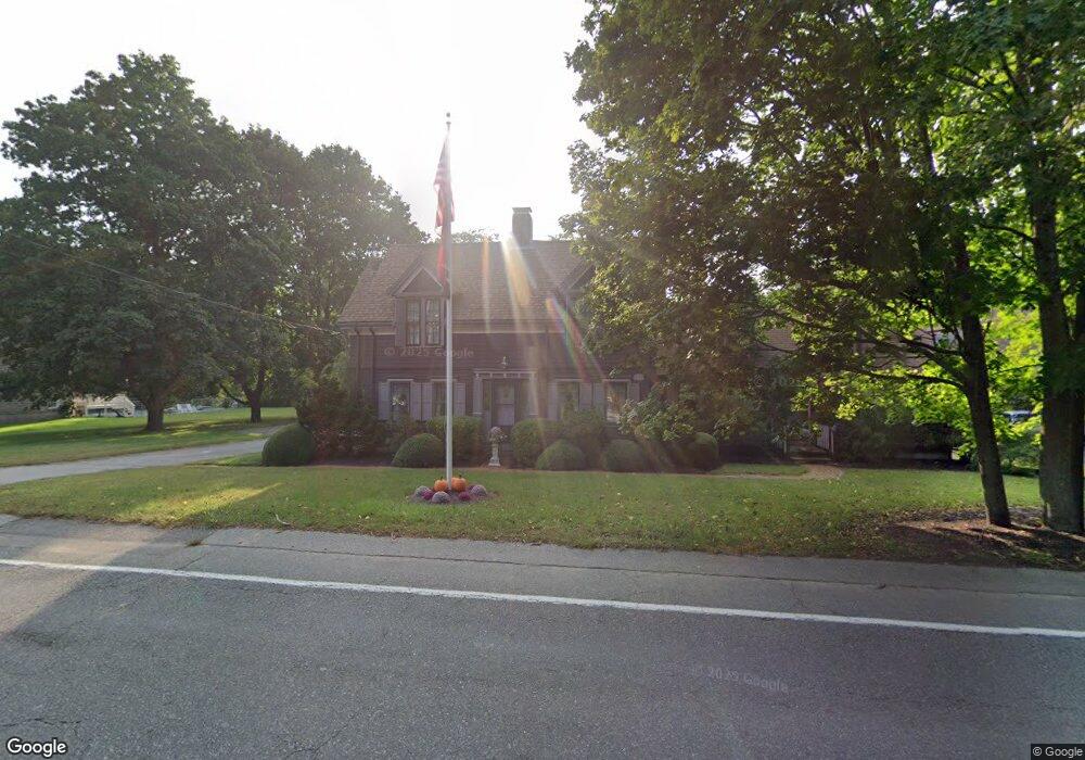
201 Spring St Unit 2 Hanson, MA 02341
Estimated Value: $652,000 - $893,000
1
Bed
1
Bath
800
Sq Ft
$994/Sq Ft
Est. Value
About This Home
This home is located at 201 Spring St Unit 2, Hanson, MA 02341 and is currently estimated at $794,925, approximately $993 per square foot. 201 Spring St Unit 2 is a home located in Plymouth County.
Ownership History
Date
Name
Owned For
Owner Type
Purchase Details
Closed on
Aug 11, 2025
Sold by
Palermo Matthew A and Palermo Carolyn E
Bought by
Palermo Ft and Belcher
Current Estimated Value
Purchase Details
Closed on
Aug 29, 2023
Sold by
Fulmine Carla and Palermo Matthew
Bought by
Palermo Matthew A and Palermo Carolyn E
Purchase Details
Closed on
Aug 4, 2023
Sold by
Palermo Ft and Belcher
Bought by
Fulmine Carla and Palermo Matthew
Purchase Details
Closed on
Jul 22, 2019
Sold by
Hatch David
Bought by
Hatch Eric J
Purchase Details
Closed on
Oct 24, 2016
Sold by
Palermo Carolyn E
Bought by
Palermo Ft and Beclher
Purchase Details
Closed on
Mar 23, 2004
Sold by
Hatch Eric
Bought by
Hatch David
Create a Home Valuation Report for This Property
The Home Valuation Report is an in-depth analysis detailing your home's value as well as a comparison with similar homes in the area
Home Values in the Area
Average Home Value in this Area
Purchase History
| Date | Buyer | Sale Price | Title Company |
|---|---|---|---|
| Palermo Ft | -- | -- | |
| Palermo Ft | -- | -- | |
| Palermo Matthew A | -- | None Available | |
| Palermo Matthew A | -- | None Available | |
| Fulmine Carla | -- | None Available | |
| Fulmine Carla | -- | None Available | |
| Hatch Eric J | -- | None Available | |
| Palermo Ft | -- | -- | |
| Palermo Ft | -- | -- | |
| Hatch David | -- | -- | |
| Hatch David | -- | -- |
Source: Public Records
Mortgage History
| Date | Status | Borrower | Loan Amount |
|---|---|---|---|
| Previous Owner | Hatch David | $100,000 | |
| Previous Owner | Hatch David | $20,000 |
Source: Public Records
Tax History
| Year | Tax Paid | Tax Assessment Tax Assessment Total Assessment is a certain percentage of the fair market value that is determined by local assessors to be the total taxable value of land and additions on the property. | Land | Improvement |
|---|---|---|---|---|
| 2025 | $8,775 | $655,800 | $175,000 | $480,800 |
| 2024 | $8,647 | $646,300 | $169,900 | $476,400 |
| 2023 | $8,691 | $612,900 | $169,900 | $443,000 |
| 2022 | $8,532 | $565,400 | $154,400 | $411,000 |
| 2021 | $7,545 | $499,700 | $148,500 | $351,200 |
| 2020 | $7,478 | $489,700 | $143,500 | $346,200 |
| 2019 | $7,187 | $462,800 | $140,800 | $322,000 |
| 2018 | $7,139 | $451,000 | $135,400 | $315,600 |
| 2017 | $6,959 | $435,500 | $128,900 | $306,600 |
| 2016 | $7,075 | $427,500 | $128,900 | $298,600 |
| 2015 | $6,615 | $415,500 | $128,900 | $286,600 |
Source: Public Records
Map
Nearby Homes
- 724 Whitman St
- Lot 5 Princeton Way
- 84 Liberty St
- 22 Howland Trail Unit 34
- 17 Hayford Trail Unit 12
- 7 Hayford Trail Unit 12
- 5 Hayford Trail Unit 11
- 23 Live Oak Way
- 139 Fairwood Dr
- 26 Stonebridge Dr
- 10 Proud Foot Way
- 361 County Rd
- 361A County Rd
- 161 Winter St Unit 11
- 108 Waterford Dr
- 430 Brook Bend Rd
- Lot 6 Way
- 10 Birch Bottom Cir
- 214 Winter St
- 61 Sawmill Ln
Your Personal Tour Guide
Ask me questions while you tour the home.