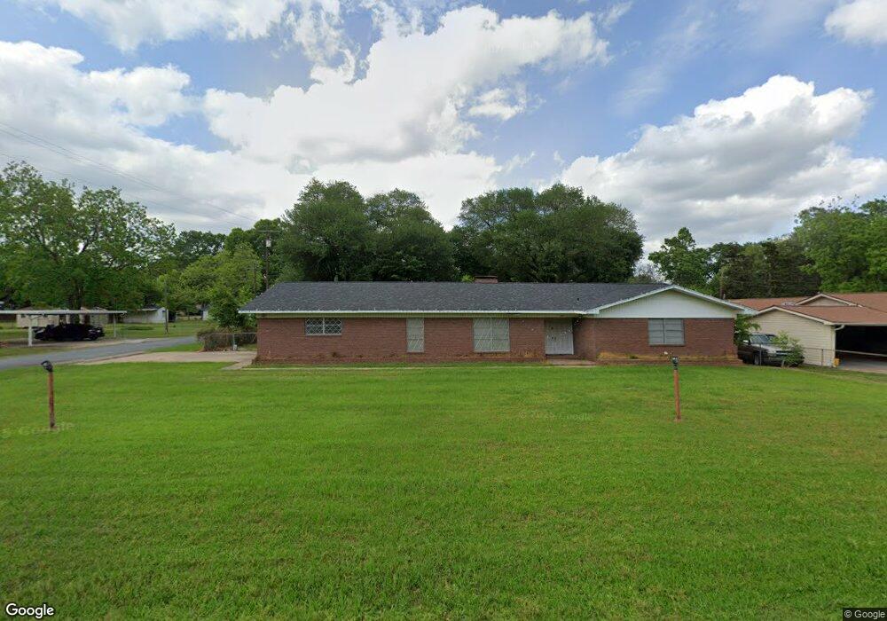
201 Starlite Dr Texarkana, TX 75501
Estimated Value: $225,000 - $266,000
3
Beds
3
Baths
2,328
Sq Ft
$106/Sq Ft
Est. Value
About This Home
This home is located at 201 Starlite Dr, Texarkana, TX 75501 and is currently estimated at $247,729, approximately $106 per square foot. 201 Starlite Dr is a home located in Bowie County with nearby schools including Liberty-Eylau Early Childhood Center, Liberty-Eylau Primary School, and Liberty-Eylau C.K. Bender Elementary Campus.
Ownership History
Date
Name
Owned For
Owner Type
Purchase Details
Closed on
May 11, 2018
Sold by
Adcock Frances Kay
Bought by
Portefield Robert B
Current Estimated Value
Home Financials for this Owner
Home Financials are based on the most recent Mortgage that was taken out on this home.
Original Mortgage
$124,699
Outstanding Balance
$109,176
Interest Rate
5.25%
Mortgage Type
FHA
Estimated Equity
$138,553
Purchase Details
Closed on
Jul 6, 2013
Sold by
Purifoy Dura Wilson and Estate Of E H Wilson
Bought by
Adcock Francis Kay
Create a Home Valuation Report for This Property
The Home Valuation Report is an in-depth analysis detailing your home's value as well as a comparison with similar homes in the area
Home Values in the Area
Average Home Value in this Area
Purchase History
| Date | Buyer | Sale Price | Title Company |
|---|---|---|---|
| Portefield Robert B | -- | None Available | |
| Adcock Francis Kay | -- | None Available |
Source: Public Records
Mortgage History
| Date | Status | Borrower | Loan Amount |
|---|---|---|---|
| Open | Portefield Robert B | $124,699 |
Source: Public Records
Tax History Compared to Growth
Tax History
| Year | Tax Paid | Tax Assessment Tax Assessment Total Assessment is a certain percentage of the fair market value that is determined by local assessors to be the total taxable value of land and additions on the property. | Land | Improvement |
|---|---|---|---|---|
| 2025 | $3,225 | $230,102 | $16,000 | $214,102 |
| 2024 | $3,225 | $218,345 | $16,000 | $202,345 |
| 2023 | $3,047 | $203,899 | $16,000 | $187,899 |
| 2022 | $3,181 | $184,588 | $16,000 | $168,588 |
| 2021 | $2,790 | $152,296 | $14,500 | $137,796 |
| 2020 | $2,694 | $145,951 | $14,500 | $131,451 |
| 2019 | $2,718 | $139,915 | $14,500 | $125,415 |
| 2018 | $2,628 | $135,283 | $14,500 | $120,783 |
| 2017 | $2,509 | $129,636 | $14,500 | $115,136 |
| 2016 | $2,509 | $129,636 | $14,500 | $115,136 |
| 2015 | $400 | $128,549 | $14,500 | $114,049 |
| 2014 | $400 | $125,962 | $14,500 | $111,462 |
Source: Public Records
Map
Nearby Homes
- 403 Brookfield St
- 101 Redwood Dr
- 6514 Buchanan Loop Rd
- 194 W Starlite Dr
- 6 Southridge St
- 280 Patriot Way
- 2043 Randall Rd
- 144 Joe Tyl Rd
- 0 Randall Rd
- 6815 Buchanan Loop Rd
- 6606 Us-59
- 6606 Us Highway 59 S
- 7689 Us-59
- lot15 B2 Quail Brook
- lot15 B1 Quail Brook
- lot14 B2 Quail Brook
- Lot 1 B2 Quail Brook
- 39 Quail Brook Dr
- 7685 State Highway 59
- 206 Fm 3244
- 203 Starlite Dr
- 1 Starlite Dr
- 111 Starlite Dr
- 207 Starlite Dr
- 202 Maryland Dr
- 109 Starlite Dr
- 112 Maryland Dr
- 202 Starlite Dr
- 206 Maryland Dr
- 200 Starlite Dr
- 204 Starlite Dr
- 209 Starlite Dr
- 110 Maryland Dr
- 206 Starlite Dr
- 102 Starlite Dr
- 107 Starlite Dr
- 208 Maryland Dr
- 208 Starlite Dr
- 211 Starlite Dr
- 108 Maryland Dr