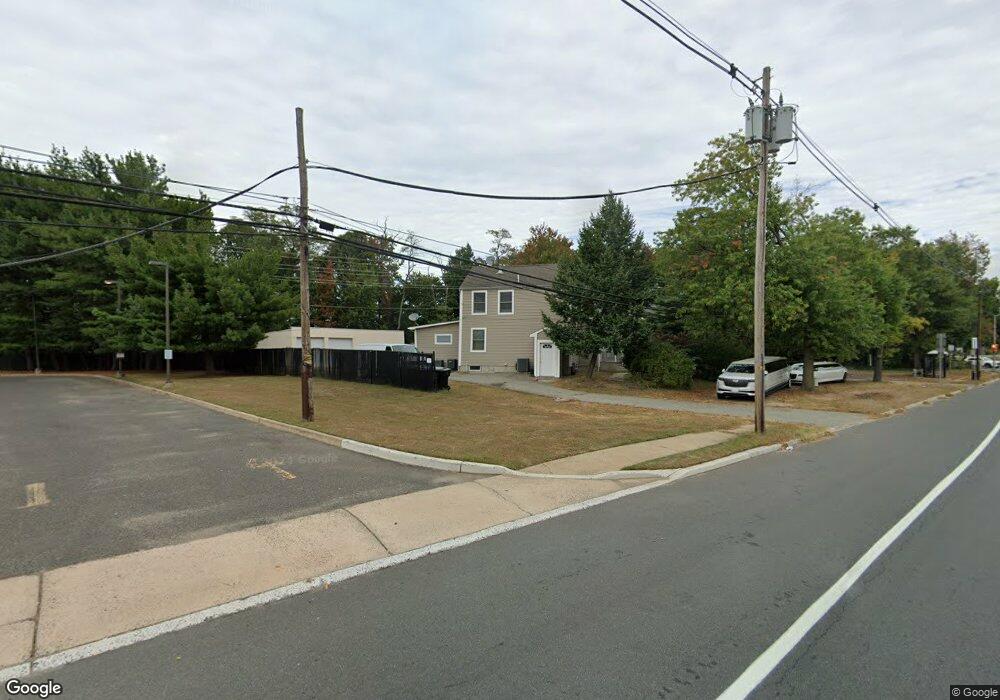
201 State Route 36 E North Middletown, NJ 07748
Estimated Value: $638,397 - $687,000
5
Beds
4
Baths
2,814
Sq Ft
$236/Sq Ft
Est. Value
About This Home
This home is located at 201 State Route 36 E, North Middletown, NJ 07748 and is currently estimated at $662,699, approximately $235 per square foot. 201 State Route 36 E is a home located in Monmouth County with nearby schools including Ocean Avenue Elementary School, Thorne Middle School, and Middletown High School North.
Ownership History
Date
Name
Owned For
Owner Type
Purchase Details
Closed on
May 30, 2007
Sold by
Sigler Patricia
Bought by
Scagnelli Louis and Scagnelli Ellen L
Current Estimated Value
Home Financials for this Owner
Home Financials are based on the most recent Mortgage that was taken out on this home.
Original Mortgage
$284,800
Outstanding Balance
$179,488
Interest Rate
6.75%
Mortgage Type
Commercial
Estimated Equity
$483,211
Create a Home Valuation Report for This Property
The Home Valuation Report is an in-depth analysis detailing your home's value as well as a comparison with similar homes in the area
Home Values in the Area
Average Home Value in this Area
Purchase History
| Date | Buyer | Sale Price | Title Company |
|---|---|---|---|
| Scagnelli Louis | $356,000 | None Available |
Source: Public Records
Mortgage History
| Date | Status | Borrower | Loan Amount |
|---|---|---|---|
| Open | Scagnelli Louis | $284,800 |
Source: Public Records
Tax History Compared to Growth
Tax History
| Year | Tax Paid | Tax Assessment Tax Assessment Total Assessment is a certain percentage of the fair market value that is determined by local assessors to be the total taxable value of land and additions on the property. | Land | Improvement |
|---|---|---|---|---|
| 2025 | $9,867 | $628,500 | $147,100 | $481,400 |
| 2024 | $8,381 | $599,800 | $127,200 | $472,600 |
| 2023 | $8,381 | $482,200 | $127,200 | $355,000 |
| 2022 | $8,357 | $453,300 | $115,300 | $338,000 |
| 2021 | $8,357 | $401,800 | $99,300 | $302,500 |
| 2020 | $8,206 | $383,800 | $99,300 | $284,500 |
| 2019 | $8,070 | $382,100 | $99,300 | $282,800 |
| 2018 | $7,996 | $369,000 | $99,300 | $269,700 |
| 2017 | $7,898 | $360,800 | $99,300 | $261,500 |
| 2016 | $8,175 | $383,600 | $99,300 | $284,300 |
| 2015 | $8,464 | $383,500 | $99,300 | $284,200 |
| 2014 | $8,124 | $359,000 | $99,300 | $259,700 |
Source: Public Records
Map
Nearby Homes
- 795 Harmony Rd
- 0 Oregon Ave
- 210 Ocean Ave
- 1 Salisbury Ave
- 118 Jersey Ave
- 28 Duchess Ave
- 32 Dakota Ave
- 75 Ohio Ave
- 22 Carter Ave
- 71 Bay Ave
- 280 Linden Ave
- 33 New Jersey 36
- 516 Henry Place
- 0 Bray Ave Unit 22420777
- 0 S End Ave Unit 22420779
- 66 Sunset Place
- 0 Clinton St Unit 22238196
- 35 Montana Ave
- 289 Port Monmouth Rd
- 635 Hudson Ave
- 203 State Route 36 E
- 195 New Jersey 36
- 189 State Route 36 E
- 30 Grant Place
- 185 State Route 36 E
- 361 Atlantic Ave
- 363 Atlantic Ave
- 196 State Route 36 E
- 365 Atlantic Ave
- 311 Thompson Ave
- 28 Grant Place
- 312 Thompson Ave
- 27 Grant Place
- 2 Wealthy Ave
- 370 Atlantic Ave
- 24 Grant Place
- 15 Baldwin Ave
- 17 Baldwin Ave
- 357 Atlantic Ave
- 16 Baldwin Ave