201 Summit Cir Unit 2585 Jasper, GA 30143
Big Canoe NeighborhoodEstimated Value: $712,000 - $1,064,000
5
Beds
4
Baths
4,550
Sq Ft
$193/Sq Ft
Est. Value
About This Home
This home is located at 201 Summit Cir Unit 2585, Jasper, GA 30143 and is currently estimated at $879,085, approximately $193 per square foot. 201 Summit Cir Unit 2585 is a home located in Pickens County with nearby schools including Tate Elementary School, Pickens County Middle School, and Pickens County High School.
Ownership History
Date
Name
Owned For
Owner Type
Purchase Details
Closed on
Nov 15, 2019
Sold by
Wulfers Jason
Bought by
Morley Dean R and Morley Susan L
Current Estimated Value
Home Financials for this Owner
Home Financials are based on the most recent Mortgage that was taken out on this home.
Original Mortgage
$288,000
Outstanding Balance
$249,256
Interest Rate
3.6%
Mortgage Type
New Conventional
Estimated Equity
$629,829
Purchase Details
Closed on
Jan 27, 2017
Sold by
Deutsche Bank 2005 & Ar11
Bought by
Wulfers Jason
Purchase Details
Closed on
Sep 1, 2015
Sold by
Floyd Gregory Lee
Bought by
Deutsche Bank National Trust Company
Create a Home Valuation Report for This Property
The Home Valuation Report is an in-depth analysis detailing your home's value as well as a comparison with similar homes in the area
Home Values in the Area
Average Home Value in this Area
Purchase History
| Date | Buyer | Sale Price | Title Company |
|---|---|---|---|
| Morley Dean R | $576,000 | -- | |
| Wulfers Jason | $203,000 | -- | |
| Deutsche Bank National Trust Company | -- | -- | |
| Deutsche Bank National Trust C | $382,500 | -- |
Source: Public Records
Mortgage History
| Date | Status | Borrower | Loan Amount |
|---|---|---|---|
| Open | Morley Dean R | $288,000 |
Source: Public Records
Tax History
| Year | Tax Paid | Tax Assessment Tax Assessment Total Assessment is a certain percentage of the fair market value that is determined by local assessors to be the total taxable value of land and additions on the property. | Land | Improvement |
|---|---|---|---|---|
| 2025 | $4,090 | $225,792 | $68,000 | $157,792 |
| 2024 | $4,468 | $225,792 | $68,000 | $157,792 |
| 2023 | $4,592 | $225,792 | $68,000 | $157,792 |
| 2022 | $4,592 | $225,792 | $68,000 | $157,792 |
| 2021 | $4,920 | $225,792 | $68,000 | $157,792 |
| 2020 | $5,067 | $225,792 | $68,000 | $157,792 |
| 2019 | $5,184 | $225,792 | $68,000 | $157,792 |
| 2018 | $5,233 | $225,792 | $68,000 | $157,792 |
| 2017 | $5,318 | $225,792 | $68,000 | $157,792 |
| 2016 | $5,187 | $216,760 | $68,000 | $148,760 |
| 2015 | $5,066 | $216,760 | $68,000 | $148,760 |
| 2014 | $5,077 | $216,760 | $68,000 | $148,760 |
| 2013 | -- | $216,759 | $68,000 | $148,759 |
Source: Public Records
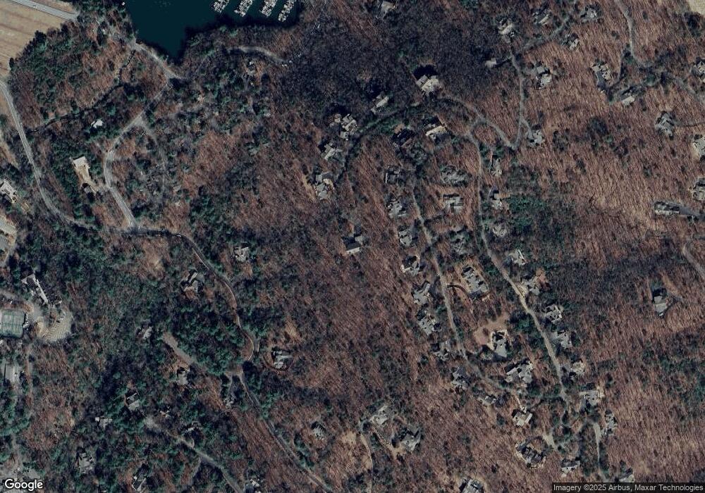
Map
Nearby Homes
- 135 Wolfscratch Dr
- 125 Wolfscratch Dr
- 2784 Summit Dr
- 0 Highland Trail Unit 7690780
- 299 Summit Dr W Unit 3
- 299 Summit Dr W
- 739 Summit Dr E
- 141 Treetop Knoll Dr
- 35 Treetop Knoll Dr
- 112 Canada Geese Point
- 40 Treetopper Ln
- 23 Laurel Ridge Trail
- 186 Muirfield Way
- 20 Sconti Ridge Unit 402
- 51 Indigo Bunting Trail
- 861 Summit Dr E
- 15 Wedgewood Dr
- 54 Buckskull Brow
- 132 Buckskull Hollow Dr
- 255 Indigo Bunting Trail
- 201 Summit Cir
- 166 Summit Dr
- 166 Summit Cir
- 90 Summit St
- 165 Highland Trail
- 62 Summit St
- 102 Summit Dr W
- 90 Summit Dr W
- 26 Summit St
- 136 Summit Dr W
- 144 Summit Cir
- 2592 Summit Dr W
- 0 Summit Dr W Unit 2598 3029104
- 2594 Summit Dr W
- 160 Summit Dr W
- 132 Summit Cir
- 84 Highland Ave
- 83 Summit St W
- 101 Summit Dr W
- 10 Summit St
Your Personal Tour Guide
Ask me questions while you tour the home.