201 Summit Dr Stroudsburg, PA 18360
Estimated Value: $577,000 - $690,800
4
Beds
4
Baths
3,611
Sq Ft
$174/Sq Ft
Est. Value
About This Home
This home is located at 201 Summit Dr, Stroudsburg, PA 18360 and is currently estimated at $629,950, approximately $174 per square foot. 201 Summit Dr is a home located in Monroe County with nearby schools including Stroudsburg Junior High School, Stroudsburg High School, and Stroudsburg Seventh-day Adventist School.
Ownership History
Date
Name
Owned For
Owner Type
Purchase Details
Closed on
Sep 26, 2017
Sold by
Kim Justin and Jun Hyun M
Bought by
Polin Maria and Shafir Yevgeny
Current Estimated Value
Home Financials for this Owner
Home Financials are based on the most recent Mortgage that was taken out on this home.
Original Mortgage
$328,000
Outstanding Balance
$274,485
Interest Rate
3.89%
Mortgage Type
New Conventional
Estimated Equity
$355,465
Purchase Details
Closed on
Jan 16, 2017
Sold by
Peters Michael and Peters Vicki
Bought by
Kim Justin and Jun Hyun M
Home Financials for this Owner
Home Financials are based on the most recent Mortgage that was taken out on this home.
Original Mortgage
$281,250
Interest Rate
4.13%
Mortgage Type
New Conventional
Purchase Details
Closed on
Feb 15, 2000
Bought by
Peters Michael and Peters Vicki
Create a Home Valuation Report for This Property
The Home Valuation Report is an in-depth analysis detailing your home's value as well as a comparison with similar homes in the area
Home Values in the Area
Average Home Value in this Area
Purchase History
| Date | Buyer | Sale Price | Title Company |
|---|---|---|---|
| Polin Maria | $410,000 | None Available | |
| Kim Justin | $375,000 | Attorney | |
| Peters Michael | $39,900 | -- |
Source: Public Records
Mortgage History
| Date | Status | Borrower | Loan Amount |
|---|---|---|---|
| Open | Polin Maria | $328,000 | |
| Previous Owner | Kim Justin | $281,250 |
Source: Public Records
Tax History
| Year | Tax Paid | Tax Assessment Tax Assessment Total Assessment is a certain percentage of the fair market value that is determined by local assessors to be the total taxable value of land and additions on the property. | Land | Improvement |
|---|---|---|---|---|
| 2025 | $2,400 | $413,490 | $64,480 | $349,010 |
| 2024 | $1,779 | $413,490 | $64,480 | $349,010 |
| 2023 | $12,794 | $413,490 | $64,480 | $349,010 |
| 2022 | $12,464 | $413,490 | $64,480 | $349,010 |
| 2021 | $12,031 | $413,490 | $64,480 | $349,010 |
| 2019 | $12,743 | $68,270 | $12,500 | $55,770 |
| 2018 | $12,743 | $68,270 | $12,500 | $55,770 |
| 2017 | $12,743 | $68,270 | $12,500 | $55,770 |
| 2016 | $1,594 | $68,270 | $12,500 | $55,770 |
| 2015 | -- | $68,270 | $12,500 | $55,770 |
| 2014 | -- | $68,270 | $12,500 | $55,770 |
Source: Public Records
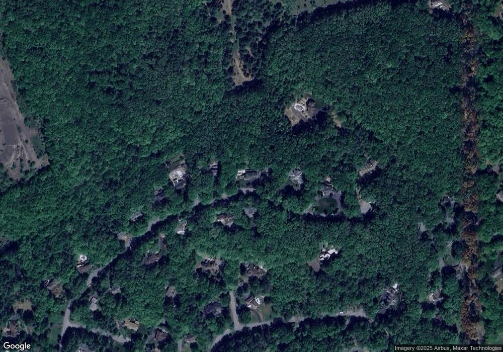
Map
Nearby Homes
- 0 Evergreen Dr
- 185 Quiet Valley Rd
- 0 Lr 45019 Unit PM-137726
- 127 Kirkwood Rd
- 0 Turkey Hill Rd Unit PAMR2005896
- 0 Turkey Hill Rd Unit PM-137714
- 202 Norton Rd
- 1341 Beaver Valley Rd
- 1395 Kelly Rd
- 0 Werkheiser Ln Unit 723191
- 0 Werkheiser Ln Unit PAMR2003624
- 0 Werkheiser Ln Unit PM-121046
- 0 Dr
- 201 Amy Ct
- 126 Devonshire Dr
- 1069 Fritz Ave
- 2142 Wigwam Park Rd
- 337 Irish Ln
- 0 N Easton Belmont Pike
- 101 Mcmichael Dr