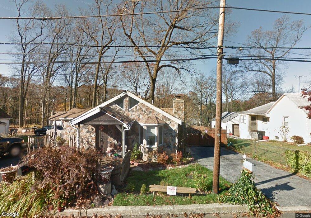
201 Summit Rd Malvern, PA 19355
Estimated Value: $294,755 - $530,000
2
Beds
2
Baths
1,165
Sq Ft
$321/Sq Ft
Est. Value
About This Home
This home is located at 201 Summit Rd, Malvern, PA 19355 and is currently estimated at $373,585, approximately $320 per square foot. 201 Summit Rd is a home located in Chester County with nearby schools including Sugartown Elementary School, Great Valley Middle School, and Great Valley High School.
Ownership History
Date
Name
Owned For
Owner Type
Purchase Details
Closed on
Apr 12, 1996
Sold by
Armstrong Norbert J and Armstrong Mary
Bought by
Miron Thomas M
Current Estimated Value
Home Financials for this Owner
Home Financials are based on the most recent Mortgage that was taken out on this home.
Original Mortgage
$67,500
Interest Rate
7.81%
Mortgage Type
Commercial
Create a Home Valuation Report for This Property
The Home Valuation Report is an in-depth analysis detailing your home's value as well as a comparison with similar homes in the area
Home Values in the Area
Average Home Value in this Area
Purchase History
| Date | Buyer | Sale Price | Title Company |
|---|---|---|---|
| Miron Thomas M | $75,000 | -- |
Source: Public Records
Mortgage History
| Date | Status | Borrower | Loan Amount |
|---|---|---|---|
| Closed | Miron Thomas M | $67,500 |
Source: Public Records
Tax History
| Year | Tax Paid | Tax Assessment Tax Assessment Total Assessment is a certain percentage of the fair market value that is determined by local assessors to be the total taxable value of land and additions on the property. | Land | Improvement |
|---|---|---|---|---|
| 2025 | $2,907 | $101,450 | $32,860 | $68,590 |
| 2024 | $2,907 | $101,450 | $32,860 | $68,590 |
| 2023 | $2,832 | $101,450 | $32,860 | $68,590 |
| 2022 | $2,775 | $101,450 | $32,860 | $68,590 |
| 2021 | $2,719 | $101,450 | $32,860 | $68,590 |
| 2020 | $2,675 | $101,450 | $32,860 | $68,590 |
| 2019 | $2,649 | $101,450 | $32,860 | $68,590 |
| 2018 | $2,599 | $101,450 | $32,860 | $68,590 |
| 2017 | $2,599 | $101,450 | $32,860 | $68,590 |
| 2016 | $2,333 | $101,450 | $32,860 | $68,590 |
| 2015 | $2,333 | $101,450 | $32,860 | $68,590 |
| 2014 | $2,333 | $101,450 | $32,860 | $68,590 |
Source: Public Records
Map
Nearby Homes
- 4 Treemont Dr
- 7 Ridge Rd
- 17 Hickory Ln
- 0000 NOBLE Modern Farmhouse Model
- 12 Maxwell Ln
- 35 Addison Ln
- 9 S Malin Rd
- 5 Westgate Cir
- 11 N Sugartown Rd
- THE GREENBRIAR - Cir
- THE DELCHESTER- Millstone Circle (Gps 1010 Hershey Mill Rd)
- THE PRESCOTT - (1010 Hershey Mill Rd) -*Millstone Cir
- THE WARREN - (1010 Hershey Mill Rd )- *Millstone Cir
- 116 Spring Rd
- 504 Raintree Ln
- 46 Ashton Way
- 634 Highland Ave
- 12 Longview Rd
- 149 Conestoga Rd
- 1611 Vance Ave
Your Personal Tour Guide
Ask me questions while you tour the home.