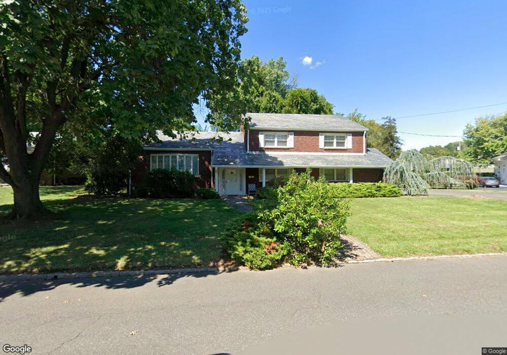
201 Surrey Rd Hillside, NJ 07205
Westminster NeighborhoodEstimated Value: $522,000 - $717,000
Studio
--
Bath
2,295
Sq Ft
$277/Sq Ft
Est. Value
About This Home
This home is located at 201 Surrey Rd, Hillside, NJ 07205 and is currently estimated at $634,991, approximately $276 per square foot. 201 Surrey Rd is a home located in Union County with nearby schools including Abram P. Morris-Saybrook Elementary School, Hurden Looker School, and Ola Edwards Community School.
Ownership History
Date
Name
Owned For
Owner Type
Purchase Details
Closed on
Jul 10, 1998
Sold by
Deo Frank and Deo Joan
Bought by
Aptowitzer Charles and Aptowitzer Carol
Current Estimated Value
Home Financials for this Owner
Home Financials are based on the most recent Mortgage that was taken out on this home.
Original Mortgage
$80,000
Interest Rate
6.64%
Purchase Details
Closed on
Aug 15, 1994
Sold by
Bell Raymond
Bought by
Deo Frank and Deo Joan
Purchase Details
Closed on
Aug 12, 1994
Sold by
Bell Raymond Alexander and Bell June
Bought by
Bell Raymond
Create a Home Valuation Report for This Property
The Home Valuation Report is an in-depth analysis detailing your home's value as well as a comparison with similar homes in the area
Home Values in the Area
Average Home Value in this Area
Purchase History
| Date | Buyer | Sale Price | Title Company |
|---|---|---|---|
| Aptowitzer Charles | $200,000 | -- | |
| Deo Frank | $200,000 | -- | |
| Bell Raymond | -- | -- |
Source: Public Records
Mortgage History
| Date | Status | Borrower | Loan Amount |
|---|---|---|---|
| Closed | Aptowitzer Charles | $80,000 |
Source: Public Records
Tax History
| Year | Tax Paid | Tax Assessment Tax Assessment Total Assessment is a certain percentage of the fair market value that is determined by local assessors to be the total taxable value of land and additions on the property. | Land | Improvement |
|---|---|---|---|---|
| 2025 | $16,506 | $200,000 | $91,400 | $108,600 |
| 2024 | $16,026 | $200,000 | $91,400 | $108,600 |
| 2023 | $16,026 | $200,000 | $91,400 | $108,600 |
| 2022 | $15,878 | $200,000 | $91,400 | $108,600 |
| 2021 | $15,774 | $200,000 | $91,400 | $108,600 |
| 2020 | $15,682 | $200,000 | $91,400 | $108,600 |
| 2019 | $15,378 | $200,000 | $91,400 | $108,600 |
| 2018 | $15,224 | $200,000 | $91,400 | $108,600 |
| 2017 | $15,132 | $200,000 | $91,400 | $108,600 |
| 2016 | $15,114 | $200,000 | $91,400 | $108,600 |
| 2015 | $14,730 | $200,000 | $91,400 | $108,600 |
| 2014 | $14,494 | $200,000 | $91,400 | $108,600 |
Source: Public Records
Map
Nearby Homes
- 71 Georgian Ct
- 1018 John Glenn Dr
- 124 Woodruff Place
- 730 Salem Ave
- 1038 Fairview Place
- 161 Virginia St
- 420 Hollywood Ave
- 345 Sanford Ave
- 747 757 N Broad St Unit 303
- 747 757 N Broad St Unit 203
- 747 757 N Broad St
- 137 Fairbanks St
- 747-757 N Broad St Unit 301
- 30-32 Barnard Place
- 712 N Broad St Unit 2E
- 712 N Broad St Unit 3C
- 660-672 N Broad St Unit B3
- 660-672 N Broad St Unit 1C
- 660-672 N Broad St Unit A20
- 17 Country Club Ln
Your Personal Tour Guide
Ask me questions while you tour the home.