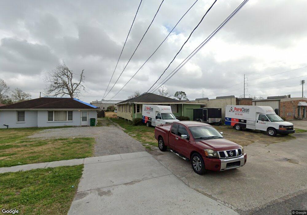
201 Trefny Ave Metairie, LA 70003
Airline Park NeighborhoodEstimated Value: $203,844 - $330,000
--
Bed
--
Bath
--
Sq Ft
0.31
Acres
About This Home
This home is located at 201 Trefny Ave, Metairie, LA 70003 and is currently estimated at $271,461. 201 Trefny Ave is a home located in Jefferson Parish with nearby schools including Rudolph Matas School, Airline Park Academy For Advanced Studies, and East Jefferson High School.
Ownership History
Date
Name
Owned For
Owner Type
Purchase Details
Closed on
Dec 3, 2021
Sold by
Mark Longo
Bought by
201 Trefny Llc
Current Estimated Value
Home Financials for this Owner
Home Financials are based on the most recent Mortgage that was taken out on this home.
Original Mortgage
$150,000
Outstanding Balance
$137,924
Interest Rate
3.09%
Mortgage Type
Future Advance Clause Open End Mortgage
Estimated Equity
$133,537
Create a Home Valuation Report for This Property
The Home Valuation Report is an in-depth analysis detailing your home's value as well as a comparison with similar homes in the area
Home Values in the Area
Average Home Value in this Area
Purchase History
| Date | Buyer | Sale Price | Title Company |
|---|---|---|---|
| 201 Trefny Llc | -- | None Listed On Document | |
| 201 Trefny Llc | $200,000 | Quality Title Services Llc |
Source: Public Records
Mortgage History
| Date | Status | Borrower | Loan Amount |
|---|---|---|---|
| Open | 201 Trefny Llc | $150,000 | |
| Closed | 201 Trefny Llc | $150,000 |
Source: Public Records
Tax History Compared to Growth
Tax History
| Year | Tax Paid | Tax Assessment Tax Assessment Total Assessment is a certain percentage of the fair market value that is determined by local assessors to be the total taxable value of land and additions on the property. | Land | Improvement |
|---|---|---|---|---|
| 2024 | $1,722 | $19,000 | $6,120 | $12,880 |
| 2023 | $2,499 | $19,000 | $6,120 | $12,880 |
| 2022 | $2,434 | $19,000 | $6,120 | $12,880 |
| 2021 | $1,286 | $10,810 | $6,120 | $4,690 |
| 2020 | $1,277 | $10,810 | $6,120 | $4,690 |
| 2019 | $1,313 | $10,810 | $6,120 | $4,690 |
| 2018 | $375 | $10,810 | $6,120 | $4,690 |
| 2017 | $1,226 | $10,810 | $6,120 | $4,690 |
| 2016 | $1,202 | $10,810 | $6,120 | $4,690 |
| 2015 | $349 | $10,600 | $6,120 | $4,480 |
| 2014 | $349 | $10,600 | $6,120 | $4,480 |
Source: Public Records
Map
Nearby Homes
- 209 Trefny Ave
- 0 Trefny Ave
- 213 Trefny Ave
- 204 Trefny Ave Unit B
- 204 Trefny Ave
- 204 Trefny Ave Unit A
- 204 Trefny Ave Unit E
- 204 Trefny Ave Unit D
- 208 Trefny Ave
- 301 Trefny Ave
- 6211 Airline Hwy
- 305 Trefny Ave
- 6201 Airline Dr
- 6211 Airline Dr
- 309 Trefny Ave
- 311 Trefny Ave
- 312 Trefny Ave
- 6113 Airline Dr
- 6113 Airline Hwy
- 311 Trefny Ave