201 Truxall Rd Apollo, PA 15613
Bell Township NeighborhoodEstimated Value: $79,159 - $366,000
--
Bed
--
Bath
2,212
Sq Ft
$129/Sq Ft
Est. Value
About This Home
This home is located at 201 Truxall Rd, Apollo, PA 15613 and is currently estimated at $284,290, approximately $128 per square foot. 201 Truxall Rd is a home located in Westmoreland County with nearby schools including Kiski Area High School.
Ownership History
Date
Name
Owned For
Owner Type
Purchase Details
Closed on
May 12, 2022
Sold by
C & I Resources Company
Bought by
Lsc Energy Holdings Llc
Current Estimated Value
Purchase Details
Closed on
May 18, 2010
Sold by
Ray Roger and Ray Melissa S
Bought by
Ray Roger and Ray Melissa S
Home Financials for this Owner
Home Financials are based on the most recent Mortgage that was taken out on this home.
Original Mortgage
$202,400
Interest Rate
5.23%
Mortgage Type
Construction
Create a Home Valuation Report for This Property
The Home Valuation Report is an in-depth analysis detailing your home's value as well as a comparison with similar homes in the area
Home Values in the Area
Average Home Value in this Area
Purchase History
| Date | Buyer | Sale Price | Title Company |
|---|---|---|---|
| Lsc Energy Holdings Llc | $91,452 | None Listed On Document | |
| Ray Roger | -- | None Available |
Source: Public Records
Mortgage History
| Date | Status | Borrower | Loan Amount |
|---|---|---|---|
| Previous Owner | Ray Roger | $202,400 |
Source: Public Records
Tax History Compared to Growth
Tax History
| Year | Tax Paid | Tax Assessment Tax Assessment Total Assessment is a certain percentage of the fair market value that is determined by local assessors to be the total taxable value of land and additions on the property. | Land | Improvement |
|---|---|---|---|---|
| 2025 | $5,078 | $36,360 | $1,550 | $34,810 |
| 2024 | $4,796 | $36,360 | $1,550 | $34,810 |
| 2023 | $4,348 | $36,360 | $1,550 | $34,810 |
| 2022 | $4,239 | $36,360 | $1,550 | $34,810 |
| 2021 | $4,240 | $36,360 | $1,550 | $34,810 |
| 2020 | $4,227 | $36,360 | $1,550 | $34,810 |
| 2019 | $4,209 | $36,360 | $1,550 | $34,810 |
| 2018 | $4,136 | $36,360 | $1,550 | $34,810 |
| 2017 | $4,028 | $36,360 | $1,550 | $34,810 |
| 2016 | $3,826 | $35,120 | $1,550 | $33,570 |
| 2015 | $3,826 | $35,120 | $1,550 | $33,570 |
| 2014 | $3,804 | $35,120 | $1,550 | $33,570 |
Source: Public Records
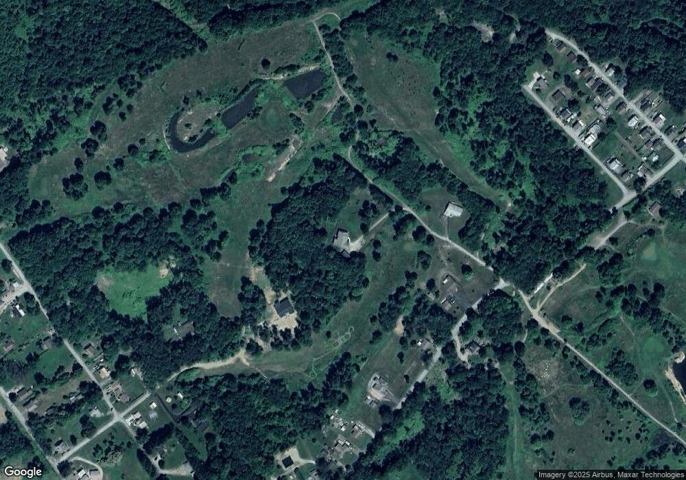
Map
Nearby Homes
- 225 Kochka Dr
- 115 Truxall Rd
- 107 Moglia Ln
- 311 & 313 N 2nd St
- 4416 State Route 819
- 957 Cherry Lane Rd
- 623 Marco Rd
- 115 Acadia Ln
- 211 Old Mill Rd
- 223 Old Mill Rd
- 138 Beaver Run Rd
- 625 Rose St Unit 276
- 4792 State Route 66
- 237 Beaver Run Rd
- 119 Pine Run Church Rd
- 314 S 5th St
- Lot 10 Beulah Church Rd
- 380 Northgate Dr Unit D
- 604 Patterson Rd
- 404 N Pennsylvania Ave