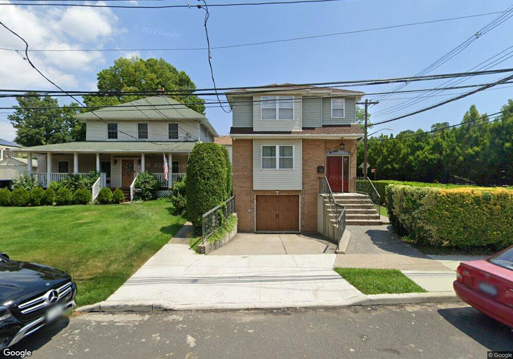
201 Tysen St Staten Island, NY 10301
New Brighton NeighborhoodEstimated Value: $592,000 - $833,000
--
Bed
--
Bath
2,200
Sq Ft
$316/Sq Ft
Est. Value
About This Home
This home is located at 201 Tysen St, Staten Island, NY 10301 and is currently estimated at $695,543, approximately $316 per square foot. 201 Tysen St is a home located in Richmond County with nearby schools including P.S. 45 John Tyler, Is 61 William A Morris, and Curtis High School.
Ownership History
Date
Name
Owned For
Owner Type
Purchase Details
Closed on
Dec 16, 1998
Sold by
L M C S Corp
Bought by
Carr Michael and Satchell Valerie
Current Estimated Value
Home Financials for this Owner
Home Financials are based on the most recent Mortgage that was taken out on this home.
Original Mortgage
$224,900
Interest Rate
6.75%
Mortgage Type
Purchase Money Mortgage
Create a Home Valuation Report for This Property
The Home Valuation Report is an in-depth analysis detailing your home's value as well as a comparison with similar homes in the area
Home Values in the Area
Average Home Value in this Area
Purchase History
| Date | Buyer | Sale Price | Title Company |
|---|---|---|---|
| Carr Michael | $253,500 | Trw Title Insurance |
Source: Public Records
Mortgage History
| Date | Status | Borrower | Loan Amount |
|---|---|---|---|
| Previous Owner | Carr Michael | $224,900 |
Source: Public Records
Tax History Compared to Growth
Tax History
| Year | Tax Paid | Tax Assessment Tax Assessment Total Assessment is a certain percentage of the fair market value that is determined by local assessors to be the total taxable value of land and additions on the property. | Land | Improvement |
|---|---|---|---|---|
| 2025 | $5,836 | $48,960 | $5,539 | $43,421 |
| 2024 | $5,848 | $51,960 | $4,924 | $47,036 |
| 2023 | $5,836 | $30,457 | $5,144 | $25,313 |
| 2022 | $5,747 | $42,180 | $8,400 | $33,780 |
| 2021 | $5,698 | $42,780 | $8,400 | $34,380 |
| 2020 | $5,399 | $40,860 | $8,400 | $32,460 |
| 2019 | $5,017 | $41,520 | $8,400 | $33,120 |
| 2018 | $4,876 | $25,381 | $4,498 | $20,883 |
| 2017 | $4,835 | $25,188 | $5,829 | $19,359 |
| 2016 | $4,441 | $23,763 | $5,056 | $18,707 |
| 2015 | $3,754 | $22,419 | $5,103 | $17,316 |
| 2014 | $3,754 | $21,151 | $5,782 | $15,369 |
Source: Public Records
Map
Nearby Homes
- 152 Clinton Ave
- 148 Clinton Ave
- 125 Tysen St
- 126 Cassidy Place Unit H2
- 230 Fillmore St
- 141 Lafayette Ave
- 245 Fillmore St
- 190 W Buchanan St
- 4 Brentwood Ave
- 63 Cassidy Place
- 177 W Buchanan St Unit 79
- 180 Fillmore St
- 293 Lafayette Ave
- 44 Westbury Ave
- 132 Alden Place
- 333 Lafayette Ave
- 310 Brighton Ave
- 110 Arnold St
- 123 Pendleton Place
- 104 Arnold St
- 197 Tysen St
- 197 Henderson Ave
- 193 Henderson Ave
- 185 Tysen St
- 200 Tysen St
- 177 Tysen St
- 188 Tysen St
- 0 Henderson Ave Unit 11477034
- 0 Henderson Ave Unit 1156650
- 0 Henderson Ave Unit 1153546
- 0 Henderson Ave Unit 974389
- 0 Henderson Ave Unit 1002423
- 0 Henderson Ave Unit 3433301
- 160 Clinton Ave
- 182 Tysen St
- 169 Tysen St
- 144 Clinton Ave
- 163 Tysen St
- 170 Tysen St
- 228 Henderson Ave