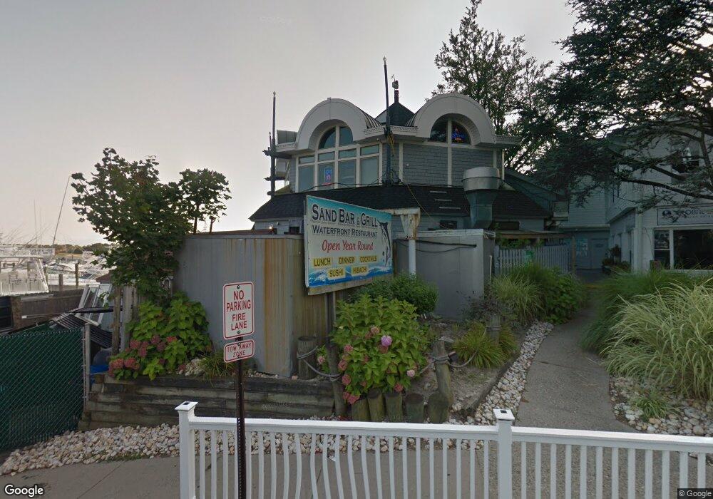
201 Union Ln Brielle, NJ 08730
Estimated Value: $1,513,000
Studio
--
Bath
4,332
Sq Ft
$349/Sq Ft
Est. Value
About This Home
This home is located at 201 Union Ln, Brielle, NJ 08730 and is currently priced at $1,513,000, approximately $349 per square foot. 201 Union Ln is a home located in Monmouth County with nearby schools including Brielle Elementary School and St. Catharine School.
Ownership History
Date
Name
Owned For
Owner Type
Purchase Details
Closed on
Sep 26, 2019
Sold by
Brielle Yacht Club
Bought by
Fletcher Marine Llc
Current Estimated Value
Purchase Details
Closed on
Aug 30, 2016
Sold by
Monmouth County Sheriff
Bought by
Brielle Yacht Club
Purchase Details
Closed on
Jun 26, 2008
Sold by
Y Two Inc
Bought by
The Gabrielle Yacenda Individual Educati and The Jeanine Yacenda Individual Education
Purchase Details
Closed on
Mar 21, 1995
Sold by
Britton J James
Bought by
Park Crest Apartments
Create a Home Valuation Report for This Property
The Home Valuation Report is an in-depth analysis detailing your home's value as well as a comparison with similar homes in the area
Home Values in the Area
Average Home Value in this Area
Purchase History
| Date | Buyer | Sale Price | Title Company |
|---|---|---|---|
| Fletcher Marine Llc | $1,295,000 | Truex Abstract Inc | |
| Brielle Yacht Club | -- | None Available | |
| The Gabrielle Yacenda Individual Educati | -- | None Available | |
| Park Crest Apartments | $54,750 | -- |
Source: Public Records
Tax History
| Year | Tax Paid | Tax Assessment Tax Assessment Total Assessment is a certain percentage of the fair market value that is determined by local assessors to be the total taxable value of land and additions on the property. | Land | Improvement |
|---|---|---|---|---|
| 2025 | $21,583 | $1,797,300 | $947,100 | $850,200 |
| 2024 | $21,737 | $1,739,200 | $902,000 | $837,200 |
Source: Public Records
Map
Nearby Homes
- 10 Waters Edge
- 329 Fisk Ave
- 22 Crescent Dr
- 612 Union Ave
- 323-325 Fisk Ave
- 607 Cherokee Ln
- 204 Curtis Ave
- 405 Perrine Blvd
- 404 Perrine Blvd
- 610 Agnes Ave
- 130 Union Ave
- 642 Rankin Rd
- 328 Curtis Ave Unit Lot 28
- 308 South St
- 202 Yale Ave
- 326 Curtis Ave Unit Lot 27
- 816 Rathjen Rd
- 312 Woodland Rd
- 846 William Dr
- 14 Lebanon Dr
- 401 Ashley Ave Unit 401
- 403 Ashley Ave
- 402 Ashley Ave
- 404 Ashley Ave
- 405 Ashley Ave
- 406 Ashley Ave
- 407 Ashley Ave
- 622 Green Ave
- 408 Ashley Ave
- 705 Wainwright Place
- 701 Wainwright Place Unit 1
- 703 Wainwright Place
- 707 Wainwright Place
- 302 Ashley Ave
- 301 Ashley Ave
- 304 Ashley Ave Unit 304
- 306 Ashley Ave
- 305 Ashley Ave
- 303 Ashley Ave
- 308 Ashley Ave
Your Personal Tour Guide
Ask me questions while you tour the home.