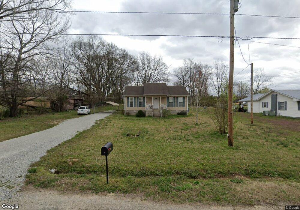
201 W 2nd St Parsons, TN 38363
Estimated Value: $97,000 - $147,000
Studio
2
Baths
1,036
Sq Ft
$118/Sq Ft
Est. Value
About This Home
This home is located at 201 W 2nd St, Parsons, TN 38363 and is currently estimated at $122,654, approximately $118 per square foot. 201 W 2nd St is a home located in Decatur County with nearby schools including Parsons Elementary School, Decaturville Elementary School, and Decatur County Middle School.
Ownership History
Date
Name
Owned For
Owner Type
Purchase Details
Closed on
Mar 18, 2008
Sold by
Clenney Steve
Bought by
Scott James
Current Estimated Value
Home Financials for this Owner
Home Financials are based on the most recent Mortgage that was taken out on this home.
Original Mortgage
$78,800
Outstanding Balance
$55,051
Interest Rate
5.97%
Mortgage Type
Cash
Estimated Equity
$67,603
Purchase Details
Closed on
Feb 25, 2000
Sold by
Clifft John T
Bought by
Clenney Steve and Clenney Amy
Purchase Details
Closed on
Mar 4, 1999
Sold by
Clayton Bobby
Bought by
Claylon Bobby
Purchase Details
Closed on
Mar 2, 1999
Bought by
Clayton Bobby
Purchase Details
Closed on
Mar 29, 1989
Bought by
Mays Billy B
Purchase Details
Closed on
Nov 14, 1945
Bought by
Mcillwain Grace
Create a Home Valuation Report for This Property
The Home Valuation Report is an in-depth analysis detailing your home's value as well as a comparison with similar homes in the area
Home Values in the Area
Average Home Value in this Area
Purchase History
| Date | Buyer | Sale Price | Title Company |
|---|---|---|---|
| Scott James | $10,800 | -- | |
| Clenney Steve | $29,000 | -- | |
| Claylon Bobby | -- | -- | |
| Clayton Bobby | $100 | -- | |
| Mays Billy B | -- | -- | |
| Mcillwain Grace | -- | -- |
Source: Public Records
Mortgage History
| Date | Status | Borrower | Loan Amount |
|---|---|---|---|
| Open | Mcillwain Grace | $78,800 |
Source: Public Records
Tax History
| Year | Tax Paid | Tax Assessment Tax Assessment Total Assessment is a certain percentage of the fair market value that is determined by local assessors to be the total taxable value of land and additions on the property. | Land | Improvement |
|---|---|---|---|---|
| 2025 | -- | $32,250 | $2,025 | $30,225 |
| 2024 | -- | $17,900 | $750 | $17,150 |
| 2023 | $587 | $17,900 | $750 | $17,150 |
| 2022 | $614 | $17,900 | $750 | $17,150 |
| 2021 | $614 | $17,900 | $750 | $17,150 |
| 2020 | $614 | $17,900 | $750 | $17,150 |
| 2019 | $531 | $16,850 | $1,175 | $15,675 |
| 2018 | $487 | $16,850 | $1,175 | $15,675 |
| 2017 | $495 | $16,850 | $1,175 | $15,675 |
| 2016 | $498 | $16,850 | $1,175 | $15,675 |
| 2015 | $499 | $16,850 | $1,175 | $15,675 |
| 2014 | $498 | $16,811 | $0 | $0 |
Source: Public Records
Map
Nearby Homes
- 230 Texas Ave
- 115 Florida Ave N
- 91 E 2nd St
- 176 Buckner St
- 177 S Georgia Ave
- 41 E 7th St
- 220 Jennings Ave
- 366 Kentucky Ave S
- 0 W Main St
- 117 Kentucky Ave N
- 0 W 9th St
- 25 Cedar St
- 724 Tennessee Ave S
- 734 Tennessee Ave S
- 750 Tennessee Ave S
- 440 Northwood Dr
- 279 Evans St
- 0 E Main St Unit 242952
- 1084 W Main St
- 40 Pine Cove
Your Personal Tour Guide
Ask me questions while you tour the home.