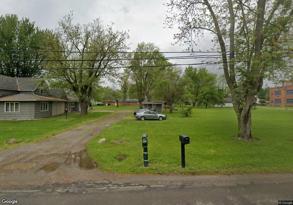
201 W Bellis Rd Middle Point, OH 45863
Estimated Value: $140,000 - $152,000
4
Beds
2
Baths
1,356
Sq Ft
$108/Sq Ft
Est. Value
About This Home
This home is located at 201 W Bellis Rd, Middle Point, OH 45863 and is currently estimated at $146,333, approximately $107 per square foot. 201 W Bellis Rd is a home located in Van Wert County with nearby schools including Lincolnview Elementary School and Lincolnview Junior/Senior High School.
Ownership History
Date
Name
Owned For
Owner Type
Purchase Details
Closed on
Nov 19, 2013
Sold by
Pence Jeffrey S and Pence Emily J
Bought by
Us Bank National Association Nd
Current Estimated Value
Purchase Details
Closed on
Nov 19, 2011
Bought by
Us Bank National Association
Purchase Details
Closed on
Apr 30, 2004
Bought by
Creative Home Buying Solutions
Create a Home Valuation Report for This Property
The Home Valuation Report is an in-depth analysis detailing your home's value as well as a comparison with similar homes in the area
Home Values in the Area
Average Home Value in this Area
Purchase History
| Date | Buyer | Sale Price | Title Company |
|---|---|---|---|
| Us Bank National Association Nd | $32,000 | None Available | |
| Us Bank National Association | $32,000 | -- | |
| Creative Home Buying Solutions | $21,000 | -- | |
| Creative Home Buying Solutions | $21,000 | -- |
Source: Public Records
Tax History Compared to Growth
Tax History
| Year | Tax Paid | Tax Assessment Tax Assessment Total Assessment is a certain percentage of the fair market value that is determined by local assessors to be the total taxable value of land and additions on the property. | Land | Improvement |
|---|---|---|---|---|
| 2024 | $1,195 | $35,710 | $4,340 | $31,370 |
| 2023 | $1,195 | $35,710 | $4,340 | $31,370 |
| 2022 | $1,144 | $25,130 | $3,990 | $21,140 |
| 2021 | $1,151 | $25,130 | $3,990 | $21,140 |
| 2020 | $1,147 | $25,130 | $3,990 | $21,140 |
| 2019 | $948 | $21,910 | $3,990 | $17,920 |
| 2018 | $923 | $21,910 | $3,990 | $17,920 |
| 2017 | $921 | $21,910 | $3,990 | $17,920 |
| 2016 | $828 | $22,680 | $3,990 | $18,690 |
| 2015 | $816 | $22,680 | $3,990 | $18,690 |
| 2014 | $791 | $21,210 | $3,990 | $17,220 |
| 2013 | $931 | $21,210 | $3,990 | $17,220 |
Source: Public Records
Map
Nearby Homes
- 104 W South St
- 112 W Railroad St
- 104 W Railroad St
- TBD Dog Creek Rd
- 8951 Brickner Rd
- 11630 Clearview Dr
- 19083 Venedocia Eastern Rd
- 18906 Bebb St
- 15044 Main St
- 19059 Wittington St
- 616 W 5th St
- 14162 Overholt Rd
- 604 W 6th St
- 409 N Bredeick St
- 503 W 6th St
- 606 S Cass St
- 634 S Clay St
- 13945 Lincoln Hwy
- 424 S Canal St
- 221 S Main St