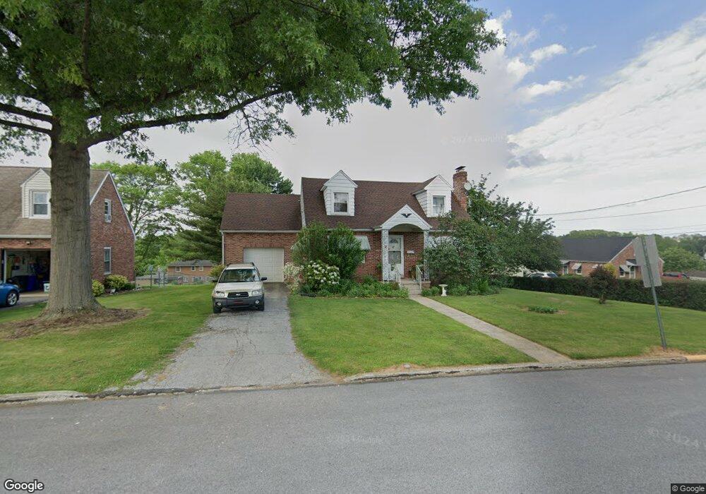
201 W Broad St Dallastown, PA 17313
Estimated Value: $193,000 - $261,000
3
Beds
1
Bath
1,411
Sq Ft
$163/Sq Ft
Est. Value
About This Home
This home is located at 201 W Broad St, Dallastown, PA 17313 and is currently estimated at $229,830, approximately $162 per square foot. 201 W Broad St is a home located in York County with nearby schools including Dallastown Elementary School, Dallastown Area Middle School, and Dallastown Area High School.
Ownership History
Date
Name
Owned For
Owner Type
Purchase Details
Closed on
Nov 14, 2023
Sold by
Klingenmaier Bernd and Klingenmaier Joan
Bought by
Klingenmaier Family Trust and Klingenmaier
Current Estimated Value
Purchase Details
Closed on
Dec 22, 1999
Sold by
Klingenmaier Joan L and Klingenmaier Bernd
Bought by
Klingenmaier Joan L and Young Krista J
Create a Home Valuation Report for This Property
The Home Valuation Report is an in-depth analysis detailing your home's value as well as a comparison with similar homes in the area
Home Values in the Area
Average Home Value in this Area
Purchase History
| Date | Buyer | Sale Price | Title Company |
|---|---|---|---|
| Klingenmaier Family Trust | -- | None Listed On Document | |
| Klingenmaier Bernd | -- | None Listed On Document | |
| Klingenmaier Joan L | -- | -- |
Source: Public Records
Mortgage History
| Date | Status | Borrower | Loan Amount |
|---|---|---|---|
| Previous Owner | Klingenmaier Joan L | $100,000 |
Source: Public Records
Tax History Compared to Growth
Tax History
| Year | Tax Paid | Tax Assessment Tax Assessment Total Assessment is a certain percentage of the fair market value that is determined by local assessors to be the total taxable value of land and additions on the property. | Land | Improvement |
|---|---|---|---|---|
| 2025 | $3,229 | $92,950 | $21,420 | $71,530 |
| 2024 | $3,229 | $92,950 | $21,420 | $71,530 |
| 2023 | $3,229 | $92,950 | $21,420 | $71,530 |
| 2022 | $3,126 | $92,950 | $21,420 | $71,530 |
| 2021 | $2,947 | $92,950 | $21,420 | $71,530 |
| 2020 | $2,947 | $92,950 | $21,420 | $71,530 |
| 2019 | $2,938 | $92,950 | $21,420 | $71,530 |
| 2018 | $2,938 | $92,950 | $21,420 | $71,530 |
| 2017 | $2,824 | $92,950 | $21,420 | $71,530 |
| 2016 | $0 | $92,950 | $21,420 | $71,530 |
| 2015 | -- | $92,950 | $21,420 | $71,530 |
| 2014 | -- | $92,950 | $21,420 | $71,530 |
Source: Public Records
Map
Nearby Homes
- 0 S Franklin St
- 355 W Main St
- 732 Blossom Hill Ln
- 428 W Main St
- 774 Blossom Hill Ln
- 64 S Pleasant Ave
- 106 Teila Dr
- 122 S Pleasant Ave
- 136 Teila Dr
- 74 S Main St
- 435 Frederick Dr
- 424 Dartha Dr
- 56 E Frederick St
- 0 Gary Dr
- 2933 Exeter Dr S
- 246 Hudson Blvd
- 234 Hudson Blvd
- 27 Steeple Ave
- 2925 Starfire Dr
- 2960 Starfire Dr
- 207 W Broad St
- 211 W Broad St
- 211 W Broad St
- 201 N School Place
- 202 W Chestnut St
- 207 N School Place
- 216 W Chestnut St Unit 220
- 229 W Broad St
- 214 W Broad St
- 202 W Broad St
- 161 N School Place
- 215 N School Place
- 220 W Broad St
- 231 W Broad St
- 88 W Chestnut St
- 230 W Broad St
- 233 W Broad St
- 250 W Broad St
- 225 W Chestnut St