Estimated Value: $473,000 - $576,091
2
Beds
--
Bath
4,066
Sq Ft
$129/Sq Ft
Est. Value
About This Home
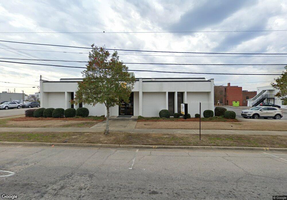
This home is located at 201 W Broad St, Dunn, NC 28334 and is currently estimated at $524,546, approximately $129 per square foot. 201 W Broad St is a home located in Harnett County with nearby schools including Dunn Elementary School, Dunn Middle School, and Triton High School.
Ownership History
Date
Name
Owned For
Owner Type
Purchase Details
Closed on
Jul 25, 2016
Bought by
Time Land Development Llc
Current Estimated Value
Home Financials for this Owner
Home Financials are based on the most recent Mortgage that was taken out on this home.
Original Mortgage
$250,000
Outstanding Balance
$198,930
Interest Rate
3.48%
Mortgage Type
Commercial
Estimated Equity
$325,616
Purchase Details
Closed on
Jan 5, 1999
Bought by
First Citizens Bank And Trust
Create a Home Valuation Report for This Property
The Home Valuation Report is an in-depth analysis detailing your home's value as well as a comparison with similar homes in the area
Home Values in the Area
Average Home Value in this Area
Purchase History
| Date | Buyer | Sale Price | Title Company |
|---|---|---|---|
| Time Land Development Llc | $275,000 | -- | |
| First Citizens Bank And Trust | $331,000 | -- |
Source: Public Records
Mortgage History
| Date | Status | Borrower | Loan Amount |
|---|---|---|---|
| Open | Time Land Development Llc | $250,000 |
Source: Public Records
Tax History
| Year | Tax Paid | Tax Assessment Tax Assessment Total Assessment is a certain percentage of the fair market value that is determined by local assessors to be the total taxable value of land and additions on the property. | Land | Improvement |
|---|---|---|---|---|
| 2025 | $5,483 | $368,013 | $0 | $0 |
| 2024 | $5,315 | $368,013 | $0 | $0 |
| 2023 | $5,168 | $368,013 | $0 | $0 |
| 2022 | $4,212 | $368,013 | $0 | $0 |
| 2021 | $4,212 | $278,830 | $0 | $0 |
| 2020 | $4,212 | $278,830 | $0 | $0 |
| 2019 | $4,197 | $278,830 | $0 | $0 |
| 2018 | $4,197 | $278,830 | $0 | $0 |
| 2017 | $4,197 | $278,830 | $0 | $0 |
| 2016 | $8,147 | $545,760 | $0 | $0 |
| 2015 | -- | $545,760 | $0 | $0 |
| 2014 | -- | $545,760 | $0 | $0 |
Source: Public Records
Map
Nearby Homes
- Lot C N King Ave
- 309 W Divine St
- 304 W Harnett St
- 4258 U S 301
- 503 W Harnett St
- 209 E Harnett St
- 407 N King Ave
- 604 W Divine St
- 207 S Magnolia Ave
- 604 S Layton Ave
- 308 E Cleveland St
- 603 S Mckay Ave
- 605 N Fayetteville Ave
- 305 W Canary St
- 210 S General Lee Ave
- 611 N Wilson Ave
- 209 N Washington Ave
- 311 N Wilson Ave
- 509 E Harnett St
- 502 E Cleveland St
- 109 S Fayetteville Ave
- 114 Lucknow Square
- 114 W Broad St
- 102 W Broad St
- 109 W Edgerton St Unit A
- 110 N King Ave
- 211 W Cumberland St
- 304 W Broad St
- 111 N King Ave
- 201 N Fayetteville Ave
- 201 N Fayetteville Ave
- 107 S Railroad Ave
- 122 S Railroad Ave
- 306 W Broad St
- 210 W Divine St
- 119 S Railroad Ave
- 211 S Fayetteville Ave
- 119 S Railroad Ave
- 123 S Railroad Ave
- 121 S Railroad Ave
Your Personal Tour Guide
Ask me questions while you tour the home.