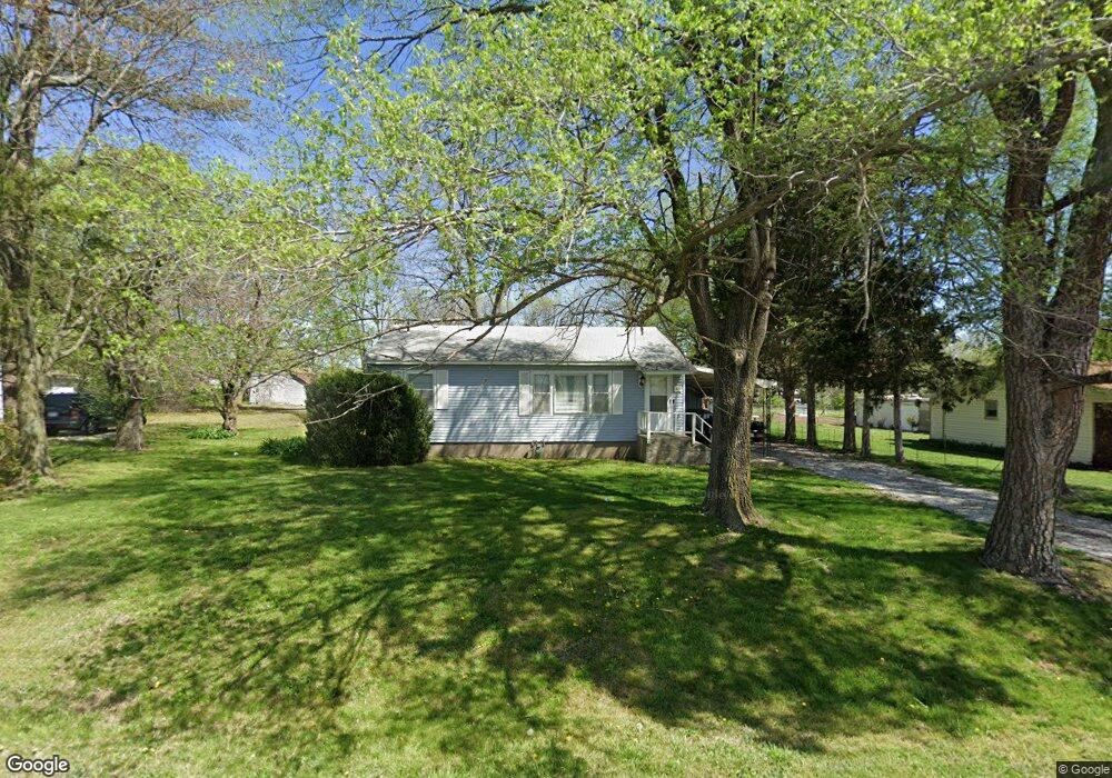
201 W Broad St Republic, MO 65738
Estimated Value: $151,528 - $169,000
2
Beds
1
Bath
1,008
Sq Ft
$159/Sq Ft
Est. Value
About This Home
This home is located at 201 W Broad St, Republic, MO 65738 and is currently estimated at $159,882, approximately $158 per square foot. 201 W Broad St is a home located in Greene County with nearby schools including Lyon Elementary School, Republic Middle School, and Republic High School.
Ownership History
Date
Name
Owned For
Owner Type
Purchase Details
Closed on
May 24, 2021
Sold by
Boyd George and Boyd Jana
Bought by
Boyd George A
Current Estimated Value
Home Financials for this Owner
Home Financials are based on the most recent Mortgage that was taken out on this home.
Original Mortgage
$95,050
Outstanding Balance
$86,139
Interest Rate
3.1%
Mortgage Type
New Conventional
Estimated Equity
$73,743
Purchase Details
Closed on
May 7, 2010
Sold by
Campbell James R
Bought by
Boyd George and Boyd Jana
Home Financials for this Owner
Home Financials are based on the most recent Mortgage that was taken out on this home.
Original Mortgage
$34,800
Interest Rate
4.93%
Mortgage Type
FHA
Create a Home Valuation Report for This Property
The Home Valuation Report is an in-depth analysis detailing your home's value as well as a comparison with similar homes in the area
Home Values in the Area
Average Home Value in this Area
Purchase History
| Date | Buyer | Sale Price | Title Company |
|---|---|---|---|
| Boyd George A | -- | None Available | |
| Boyd George | -- | None Available |
Source: Public Records
Mortgage History
| Date | Status | Borrower | Loan Amount |
|---|---|---|---|
| Open | Boyd George A | $95,050 | |
| Closed | Boyd George | $34,800 |
Source: Public Records
Tax History Compared to Growth
Tax History
| Year | Tax Paid | Tax Assessment Tax Assessment Total Assessment is a certain percentage of the fair market value that is determined by local assessors to be the total taxable value of land and additions on the property. | Land | Improvement |
|---|---|---|---|---|
| 2025 | $638 | $12,880 | $5,700 | $7,180 |
| 2024 | $638 | $11,420 | $4,750 | $6,670 |
| 2023 | $626 | $11,420 | $4,750 | $6,670 |
| 2022 | $549 | $9,980 | $4,750 | $5,230 |
| 2021 | $546 | $9,980 | $4,750 | $5,230 |
| 2020 | $555 | $9,980 | $4,750 | $5,230 |
| 2019 | $553 | $9,980 | $4,750 | $5,230 |
| 2018 | $508 | $8,870 | $3,800 | $5,070 |
| 2017 | $504 | $8,470 | $3,800 | $4,670 |
| 2016 | $487 | $8,470 | $3,800 | $4,670 |
| 2015 | $485 | $8,470 | $3,800 | $4,670 |
| 2014 | $489 | $8,460 | $3,800 | $4,660 |
Source: Public Records
Map
Nearby Homes
- 207 W Broad St
- 0 Highway 60 Unit 60308100
- 0 Highway 60 Unit 60308095
- 217 E Ritter St
- 347 W Elm St
- 401 Ethan Ave
- 113 W Jewell Dr
- 530 Ashley St
- 135 N Bonnie Ave
- .94+/- Ac Highway 60
- 2450 Highway 60
- 410 E Wildwood Flower Dr
- 975 S Montpelier Ct
- 526 E Miller Rd
- 327 E Hadley St
- 508 E Mitchell Ct
- 520 N College Ave
- 533 N Main St
- 1151 S Bordeaux Ave
- 1213 N London Place
- 119 W Broad St
- 217 W Broad St
- ? S Main St
- 323 S Main Ave
- 308 S Walnut Ave
- 331 S Main Ave
- 214 W Broad St
- 223 W Broad St
- 317 S Main Ave
- 317 S Main Ave Unit G
- 317 S Main Ave Unit J
- 317 S Main Ave Unit F
- 317 S Main Ave Unit H
- 317 S Main Ave Unit I
- 317 S Main Ave Unit D
- 317 S Main Ave Unit E
- 317 S Main Ave Unit B
- 317 S Main Ave Unit C
- 317 S Main Ave Unit A
- 311 S Main Ave